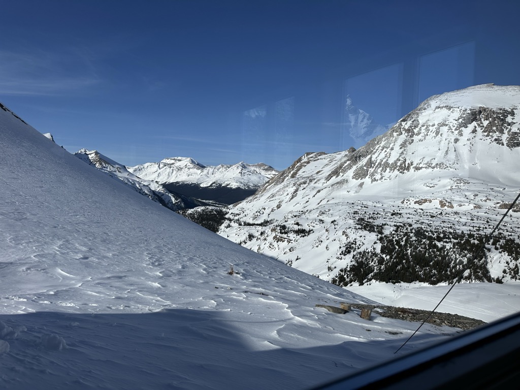
The Bow Hut is an alpine hut located at an elevation of 2,350 metres (7,710 ft) on the eastern edge of the Wapta Icefield in Banff National Park. It is the largest, best equipped, and most accessible of the four alpine huts on the Wapta Icefield, and serves as the base for a wide variety of ski tours and mountaineering ascents to half a dozen peaks on the Wapta. It is the easiest and safest starting point for the Wapta traverse; and Balfour Hut, the next hut on the traverse, can easily be reached from it in a day. It can also serve as an intermediate stop in a longer traverse which starts at the less easily accessible Peyto Hut. The hut is maintained by the Alpine Club of Canada. The hut sleeps 30 and is equipped with propane powered lamps and stovetop, and a wood stove for heating. There are two indoor drum toilets.
We use GPS information embedded into the photo when it is available.
3D mountains overlay
Adjust mountain panorama to perfectly match your photos because recorded by camera photo position might be imprecise.
Move tool
Rotate tool
Zoom
More customization
Choose which peak labels should make into the final photo and what photo title should be.
Next
Photo Location
Satellitte
Flat map
Relief map
Latitude
Longitude
Altitude
OR
Latitude
°'''
Longitude
°'''
Apply
Register Peak
Peak Name
Latitude
Longitude
Altitude
Register
Teleport
PeakVisor
This 3D model of Sagarmatha National Park in Nepal was made using the PeakVisor app topographic data. The mobile app features higher precision models worldwide, more topographic details, and works offline. Download PeakVisor maps today.
Download OBJ model
PeakVisor
The download should start shortly. If you find it useful please consider supporting the PeakVisor app.
PeakVisor for iOS and Android
Be a superhero of outdoor navigation with state-of-the-art 3D maps and mountain identification in the palm of your hand!