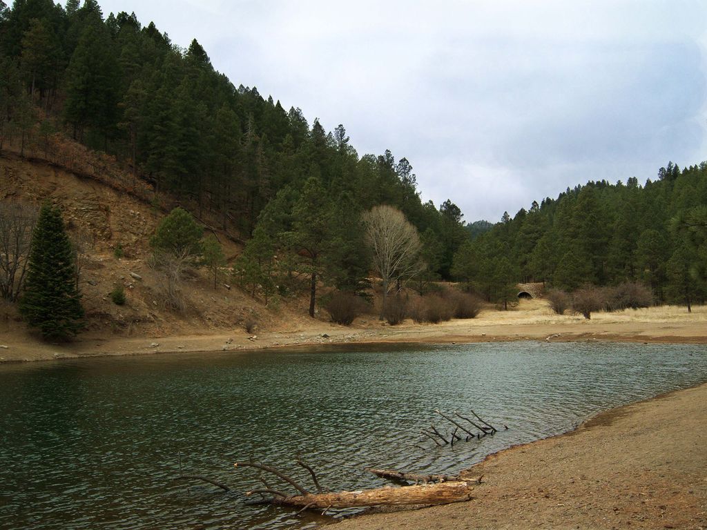
Bonito Lake is an alpine reservoir located high in the Sierra Blanca mountains northwest of Ruidoso, New Mexico. It is a popular fishing and camping destination, and although it is surrounded by the Lincoln National Forest, it is not a part of the national forest. It is currently owned by the city of Alamogordo, New Mexico as their primary water source. Because of the high altitude, the lake's temperature is cold year round, and is home to an abundance of rainbow trout. The area around the lake has several campgrounds with hiking trails and streams. The 2012 Little Bear Fire caused severe erosion in the watershed above the lake, flooding and the lake was contaminated with sediment and ash. In 2015 the lake was drained in order to dredge it.
We use GPS information embedded into the photo when it is available.
3D mountains overlay
Adjust mountain panorama to perfectly match your photos because recorded by camera photo position might be imprecise.
Move tool
Rotate tool
Zoom
More customization
Choose which peak labels should make into the final photo and what photo title should be.
Next
Photo Location
Satellitte
Flat map
Relief map
Latitude
Longitude
Altitude
OR
Latitude
°'''
Longitude
°'''
Apply
Register Peak
Peak Name
Latitude
Longitude
Altitude
Register
Teleport
PeakVisor
This 3D model of Sagarmatha National Park in Nepal was made using the PeakVisor app topographic data. The mobile app features higher precision models worldwide, more topographic details, and works offline. Download PeakVisor maps today.
Download OBJ model
PeakVisor
The download should start shortly. If you find it useful please consider supporting the PeakVisor app.
PeakVisor for iOS and Android
Be a superhero of outdoor navigation with state-of-the-art 3D maps and mountain identification in the palm of your hand!