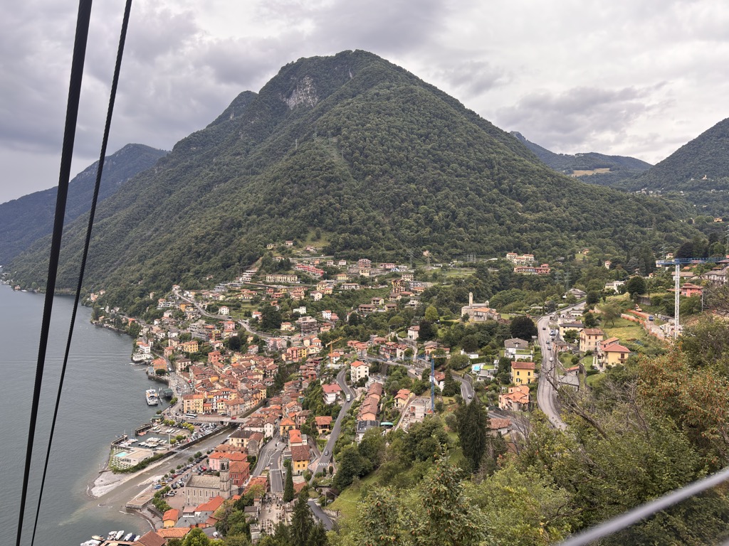
Argegno (Comasco: Argegn) is a comune (municipality) in the Province of Como in the Italian region Lombardy, located about 50 kilometres (31 mi) north of Milan and about 15 kilometres (9 mi) north of Como. As of March 2024, it had a population of 679 and an area of 4.3 square kilometres (1.7 sq mi). The local economy is heavily dependent upon tourism and the service industry. A cable car can transport people up to the nearby village of Pigra. Argegno is situated on an inlet in the lake, and is built alongside the River Telo which flows into the lake, the discharge of which is heavily dependent upon the season. Argegno borders the following municipalities: Brienno, Colonno, Dizzasco, Lezzeno, Nesso, Pigra, Schignano. It is situated between the villages of Menaggio and Cernobbio.
We use GPS information embedded into the photo when it is available.
3D mountains overlay
Adjust mountain panorama to perfectly match your photos because recorded by camera photo position might be imprecise.
Move tool
Rotate tool
Zoom
More customization
Choose which peak labels should make into the final photo and what photo title should be.
Next
Photo Location
Satellitte
Flat map
Relief map
Latitude
Longitude
Altitude
OR
Latitude
°'''
Longitude
°'''
Apply
Register Peak
Peak Name
Latitude
Longitude
Altitude
Register
Teleport
PeakVisor
This 3D model of Sagarmatha National Park in Nepal was made using the PeakVisor app topographic data. The mobile app features higher precision models worldwide, more topographic details, and works offline. Download PeakVisor maps today.
Download OBJ model
PeakVisor
The download should start shortly. If you find it useful please consider supporting the PeakVisor app.
PeakVisor for iOS and Android
Be a superhero of outdoor navigation with state-of-the-art 3D maps and mountain identification in the palm of your hand!