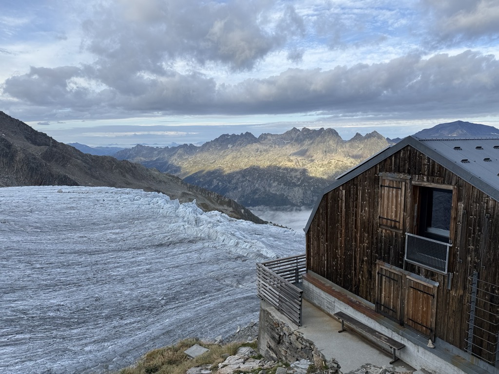
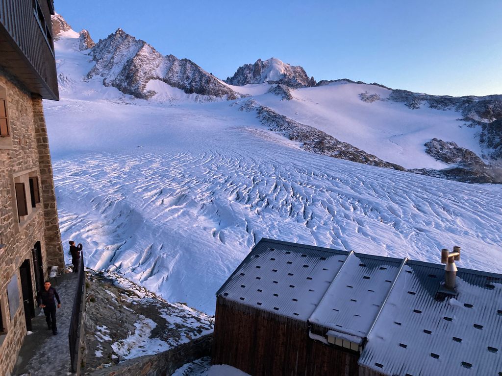
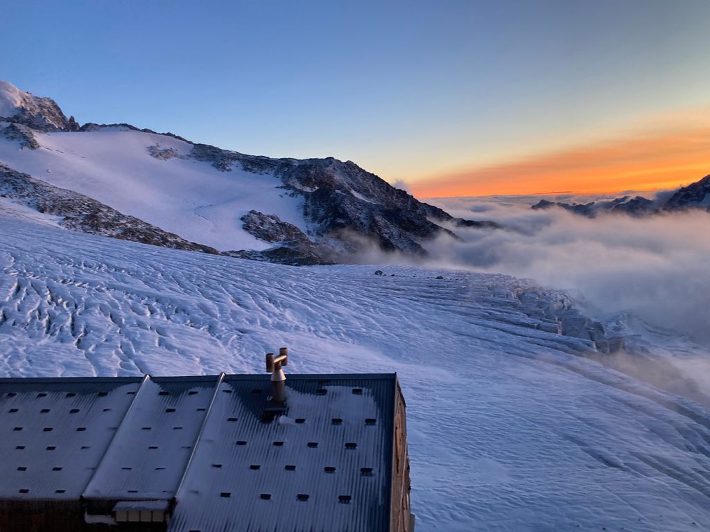
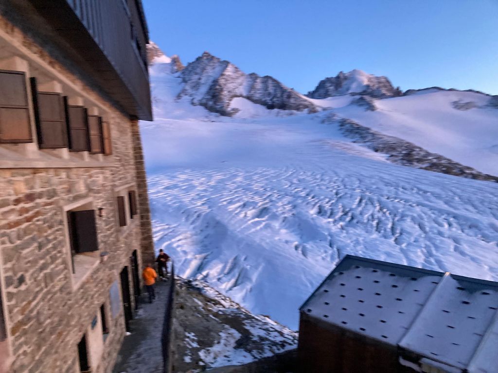
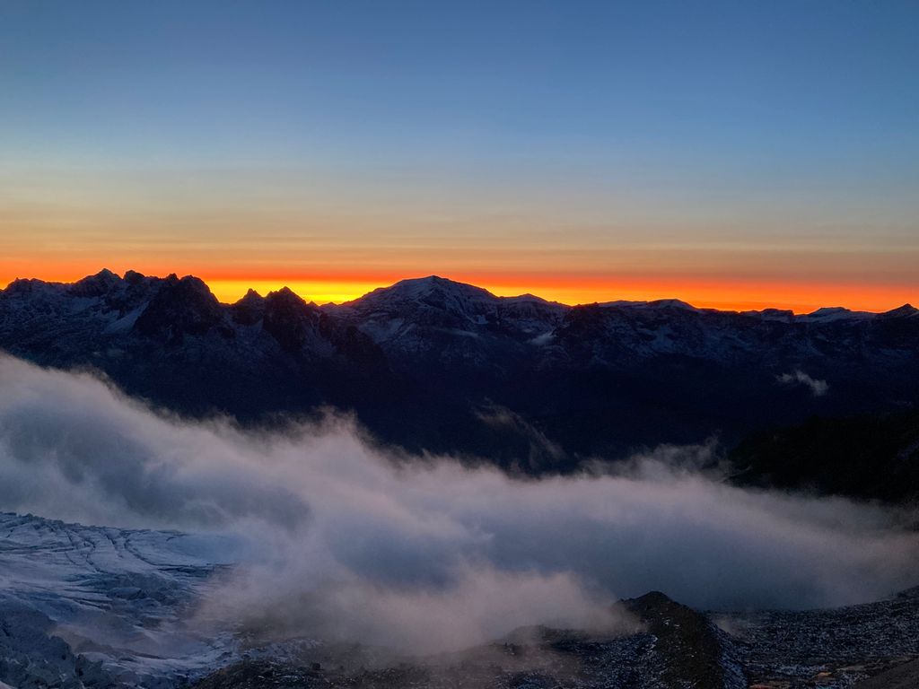
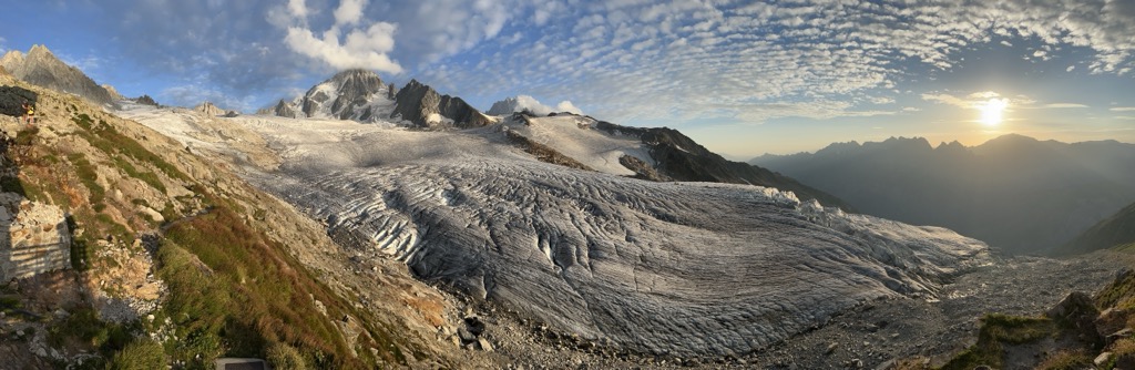
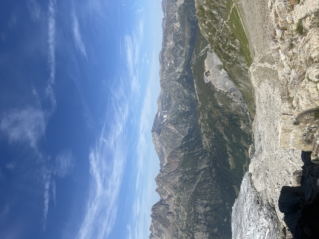
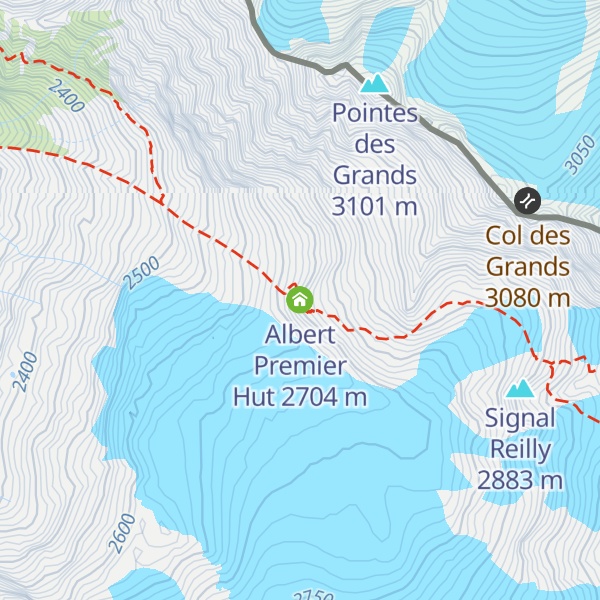
The Albert Premier Hut (French: refuge Albert-Ier ), sometimes known as Albert 1er, is located on the Haute Route between Chamonix, France and Zermatt, Switzerland. It is at 2,702 metres (8,865 ft) above sea level. It is a popular hut with day hikers because of the short hike (2 to 3 hours) and views of Chamonix Valley. The hut is usually used less by hikers attempting the entire Haute Route, but is popular as a base for climbers attempting the Aiguille du Chardonnet and the Aiguille du Tour. The hut is named after King Albert I of Belgium, who was a passionate alpinist. The main, newer hut (built in 1959) can hold 137 people and the older hut, for winter use, can hold 30 people. The main hut is staffed from June to September and is operated by Chamonix section of the Club alpin français.
We use GPS information embedded into the photo when it is available.
3D mountains overlay
Adjust mountain panorama to perfectly match your photos because recorded by camera photo position might be imprecise.
Move tool
Rotate tool
Zoom
More customization
Choose which peak labels should make into the final photo and what photo title should be.
Next
Photo Location
Satellitte
Flat map
Relief map
Latitude
Longitude
Altitude
OR
Latitude
°'''
Longitude
°'''
Apply
Register Peak
Peak Name
Latitude
Longitude
Altitude
Register
Teleport
PeakVisor
This 3D model of Sagarmatha National Park in Nepal was made using the PeakVisor app topographic data. The mobile app features higher precision models worldwide, more topographic details, and works offline. Download PeakVisor maps today.
Download OBJ model
PeakVisor
The download should start shortly. If you find it useful please consider supporting the PeakVisor app.
PeakVisor for iOS and Android
Be a superhero of outdoor navigation with state-of-the-art 3D maps and mountain identification in the palm of your hand!