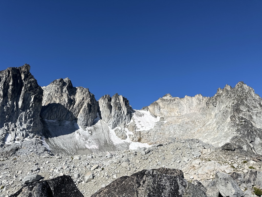
Aasgard Pass, officially identified as Colchuck Pass, (elevation 7,841 feet (2,390 m)) is a mountain pass on the east side of the Cascades in Washington's Alpine Lakes Wilderness southwest of Leavenworth. It is the shorter and steeper of two primary hiking routes into the Enchantments, one of Washington's most popular hiking areas. It separates Colchuck Lake (elevation 5,570 feet (1,700 m)) to the northwest from the Upper Enchantment Basin (elevation ~7,500 feet (2,300 m)) to the southeast. Aasgard Pass is located at the saddle between Dragontail Peak and the Enchantment Peaks. Attempts to change the name officially in 1967 and 1988 were both turned down by the US Board on Geographic Names; thus, the name "Colchuck Pass" is retained on United States Geological Survey (USGS) maps. Mountaineers have long referred to the feature as Aasgard Pass, the name favored by famed climber and guide author Fred Beckey. The name was likely coined by Bill and Peggy Stark, who explored the Enchantments extensively in the mid-20th Century, and who gave Nordic mythological names to many of the lakes that previously had been named by A. H. Sylvester, a U.S. Geological Survey topographer supervisor of Wenatchee National Forest in the early 1900s who is credited with discovering the region. The official naming rulings of the US Board in the 1960s resulted in a mixture of the two name sets being adopted as official. The current policy of not adopting new names for geographic features in wilderness areas probably precludes the rest of the names identified by the Starks from ever achieving official status.
We use GPS information embedded into the photo when it is available.
3D mountains overlay
Adjust mountain panorama to perfectly match your photos because recorded by camera photo position might be imprecise.
Move tool
Rotate tool
Zoom
More customization
Choose which peak labels should make into the final photo and what photo title should be.
Next
Photo Location
Satellitte
Flat map
Relief map
Latitude
Longitude
Altitude
OR
Latitude
°'''
Longitude
°'''
Apply
Register Peak
Peak Name
Latitude
Longitude
Altitude
Register
Teleport
PeakVisor
This 3D model of Sagarmatha National Park in Nepal was made using the PeakVisor app topographic data. The mobile app features higher precision models worldwide, more topographic details, and works offline. Download PeakVisor maps today.
Download OBJ model
PeakVisor
The download should start shortly. If you find it useful please consider supporting the PeakVisor app.
PeakVisor for iOS and Android
Be a superhero of outdoor navigation with state-of-the-art 3D maps and mountain identification in the palm of your hand!