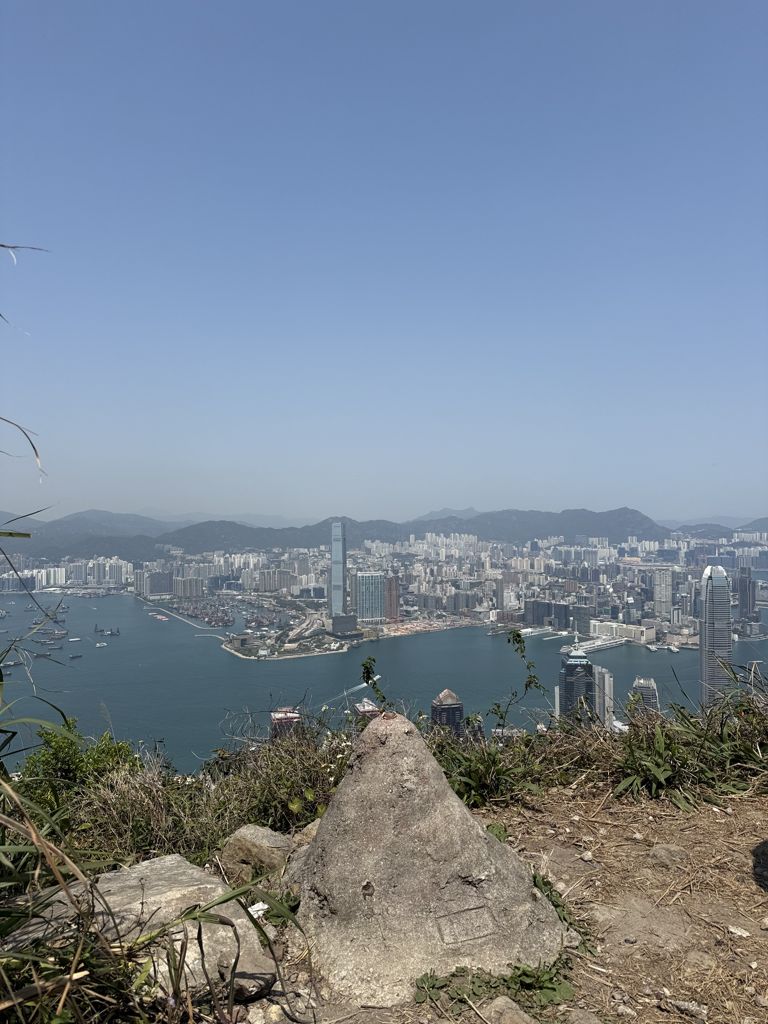
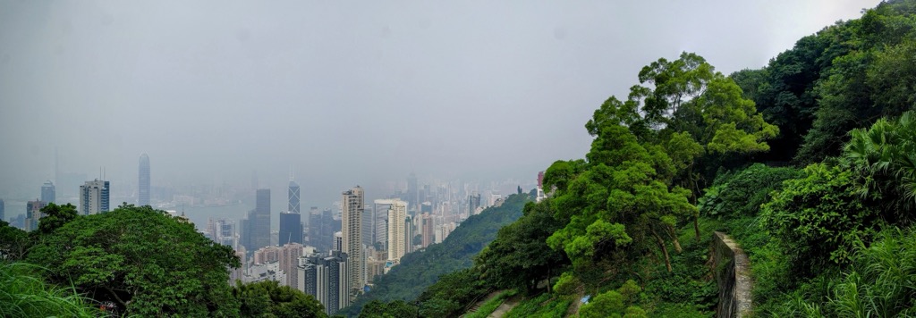
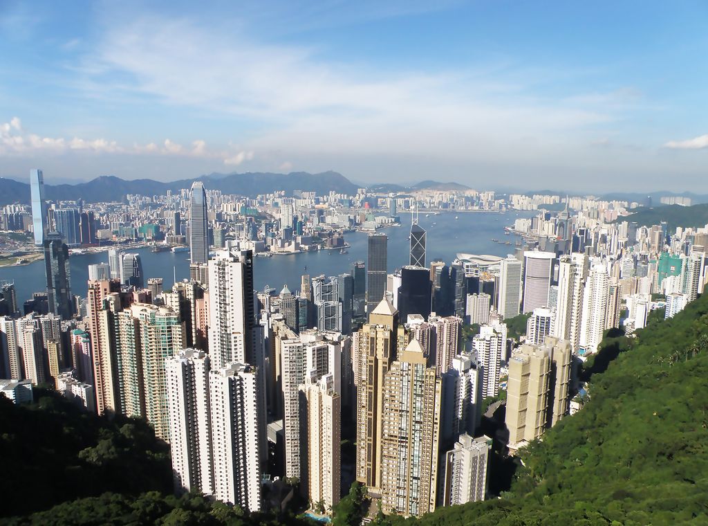
Victoria Peak is a hill on the western half of Hong Kong Island. It is also known as Mount Austin, and locally as The Peak only generally. With an elevation of 552 metres (1,811 ft), it is the tallest hill on Hong Kong Island, and the 29th tallest in the territory of Hong Kong. It is a major tourist attraction offering views of Central, Victoria Harbour, Lamma Island and the surrounding islands.
The summit of Victoria Peak is occupied by a radio telecommunications facility and is closed to the public. The surrounding area of public parks, tourist facilities and high-value residential land is the area that is normally meant by the name The Peak. The Peak also refers to Victoria Peak itself and its nearby areas, including Victoria Gap, Mount Kellett and Mount Gough. Sometimes Bowen Hill may also be included.
The Peak is also known as a residential area consisting of different neighbourhoods. It is one of the most expensive residential areas in Hong Kong and internationally.
There's a trail called 柯士甸山道 Mount Austin Road leading to the summit.
By elevation Victoria Peak is
# 1 out of 9 in Central and Western District # 1 out of 4 in Pok Fu Lam Country Park
By prominence Victoria Peak is
# 1 out of 9 in Central and Western District # 1 out of 4 in Pok Fu Lam Country Park
We use GPS information embedded into the photo when it is available.
3D mountains overlay
Adjust mountain panorama to perfectly match your photos because recorded by camera photo position might be imprecise.
Move tool
Rotate tool
Zoom
More customization
Choose which peak labels should make into the final photo and what photo title should be.
Next
Photo Location
Satellitte
Flat map
Relief map
Latitude
Longitude
Altitude
OR
Latitude
°'''
Longitude
°'''
Apply
Register Peak
Peak Name
Latitude
Longitude
Altitude
Register
Teleport
PeakVisor
This 3D model of Sagarmatha National Park in Nepal was made using the PeakVisor app topographic data. The mobile app features higher precision models worldwide, more topographic details, and works offline. Download PeakVisor maps today.
Download OBJ model
PeakVisor
The download should start shortly. If you find it useful please consider supporting the PeakVisor app.
PeakVisor for iOS and Android
Be a superhero of outdoor navigation with state-of-the-art 3D maps and mountain identification in the palm of your hand!


.jpg)


