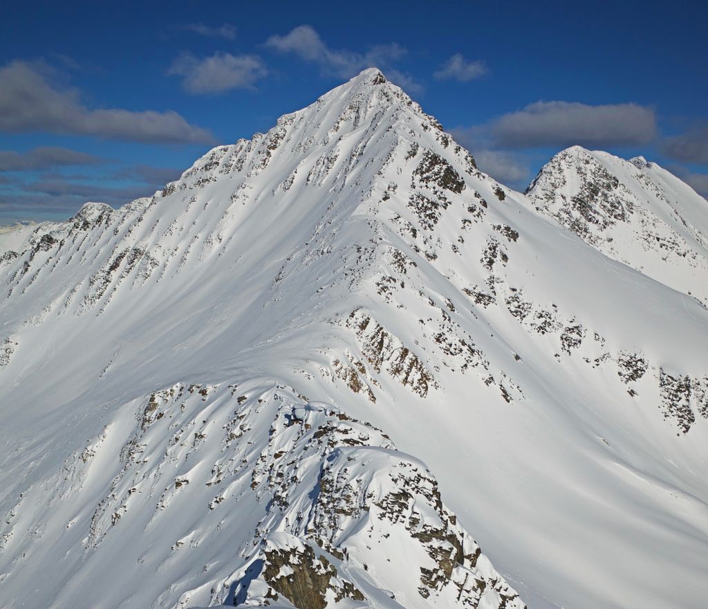
Ursus Minor Mountain is a 2,749-metre (9,019-foot) mountain summit located in Glacier National Park, in the Hermit Range of the Selkirk Mountains in British Columbia, Canada. Ursus Minor Mountain is situated 56 km (35 mi) northeast of Revelstoke, and 44 km (27 mi) west of Golden. It is also set 3.5 km (2.2 mi) northwest of Cheops Mountain, and 4 km (2.5 mi) west of Rogers Pass. Its nearest higher peak is Grizzly Mountain, 1.27 km (0.79 mi) to the east-northeast. The first ascent of the mountain was made in 1907 by Rupert W. Haggen, with guide Edouard Feuz Jr. The mountain's name was adopted in 1906, then re-approved September 8, 1932, by the Geographical Names Board of Canada. It was so-named because of its proximity above Bear Creek (since renamed Connaught Creek), and in keeping with the bear theme of other nearby features such as Ursus Major Mountain, Grizzly Mountain, Bruins Pass, and Balu Pass.
We use GPS information embedded into the photo when it is available.
3D mountains overlay
Adjust mountain panorama to perfectly match your photos because recorded by camera photo position might be imprecise.
Move tool
Rotate tool
Zoom
More customization
Choose which peak labels should make into the final photo and what photo title should be.
Next
Photo Location
Satellitte
Flat map
Relief map
Latitude
Longitude
Altitude
OR
Latitude
°'''
Longitude
°'''
Apply
Register Peak
Peak Name
Latitude
Longitude
Altitude
Register
Teleport
PeakVisor
This 3D model of Sagarmatha National Park in Nepal was made using the PeakVisor app topographic data. The mobile app features higher precision models worldwide, more topographic details, and works offline. Download PeakVisor maps today.
Download OBJ model
PeakVisor
The download should start shortly. If you find it useful please consider supporting the PeakVisor app.
PeakVisor for iOS and Android
Be a superhero of outdoor navigation with state-of-the-art 3D maps and mountain identification in the palm of your hand!