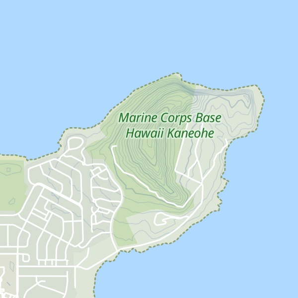
Ulupaʻu Crater (also known as Ulupaʻu Head) is a tuff cone in the U.S. state of Hawaii, located near Marine Corps Base Hawaii on the Mokapu Peninsula.
It formed as a result of the Honolulu Volcanic Series, which was a set of eruptions from the Koʻolau Range during its rejuvenation stage. The HVS also created other volcanoes such as Diamond Head. The eastern part of Ulupaʻu's rim was destroyed due to erosion. A cinder cone known as Puʻu Hawaiʻiloa is located nearby on the same peninsula.
We use GPS information embedded into the photo when it is available.
3D mountains overlay
Adjust mountain panorama to perfectly match your photos because recorded by camera photo position might be imprecise.
Move tool
Rotate tool
Zoom
More customization
Choose which peak labels should make into the final photo and what photo title should be.
Next
Photo Location
Satellitte
Flat map
Relief map
Latitude
Longitude
Altitude
OR
Latitude
°'''
Longitude
°'''
Apply
Register Peak
Peak Name
Latitude
Longitude
Altitude
Register
Teleport
PeakVisor
This 3D model of Sagarmatha National Park in Nepal was made using the PeakVisor app topographic data. The mobile app features higher precision models worldwide, more topographic details, and works offline. Download PeakVisor maps today.
Download OBJ model
PeakVisor
The download should start shortly. If you find it useful please consider supporting the PeakVisor app.
PeakVisor for iOS and Android
Be a superhero of outdoor navigation with state-of-the-art 3D maps and mountain identification in the palm of your hand!