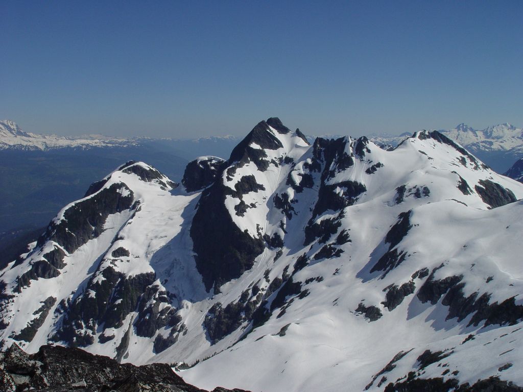
Tricouni Peak is a mountain located south of Cypress Peak on the Squamish-Cheakamus divide within the Pacific Ranges of the Coast Mountains in southwestern British Columbia, Canada. It was named in 1931 by Tom Fyles et al., the first ascent party. According to Tom Fyles himself, "Tricouni Mountain was the name suggested for the peak, as from a distance it had the appearance of three cones". A misinterpreted "resemblance to a 3-pointed tricouni boot nail" was mentioned only much later, and not by Fyles. The name "Tricouni Peak" was adopted on 22 June 1967.
There's an alpine trail (T4) called Tricouni South Ridge leading to the summit.
We use GPS information embedded into the photo when it is available.
3D mountains overlay
Adjust mountain panorama to perfectly match your photos because recorded by camera photo position might be imprecise.
Move tool
Rotate tool
Zoom
More customization
Choose which peak labels should make into the final photo and what photo title should be.
Next
Photo Location
Satellitte
Flat map
Relief map
Latitude
Longitude
Altitude
OR
Latitude
°'''
Longitude
°'''
Apply
Register Peak
Peak Name
Latitude
Longitude
Altitude
Register
Teleport
PeakVisor
This 3D model of Sagarmatha National Park in Nepal was made using the PeakVisor app topographic data. The mobile app features higher precision models worldwide, more topographic details, and works offline. Download PeakVisor maps today.
Download OBJ model
PeakVisor
The download should start shortly. If you find it useful please consider supporting the PeakVisor app.
PeakVisor for iOS and Android
Be a superhero of outdoor navigation with state-of-the-art 3D maps and mountain identification in the palm of your hand!