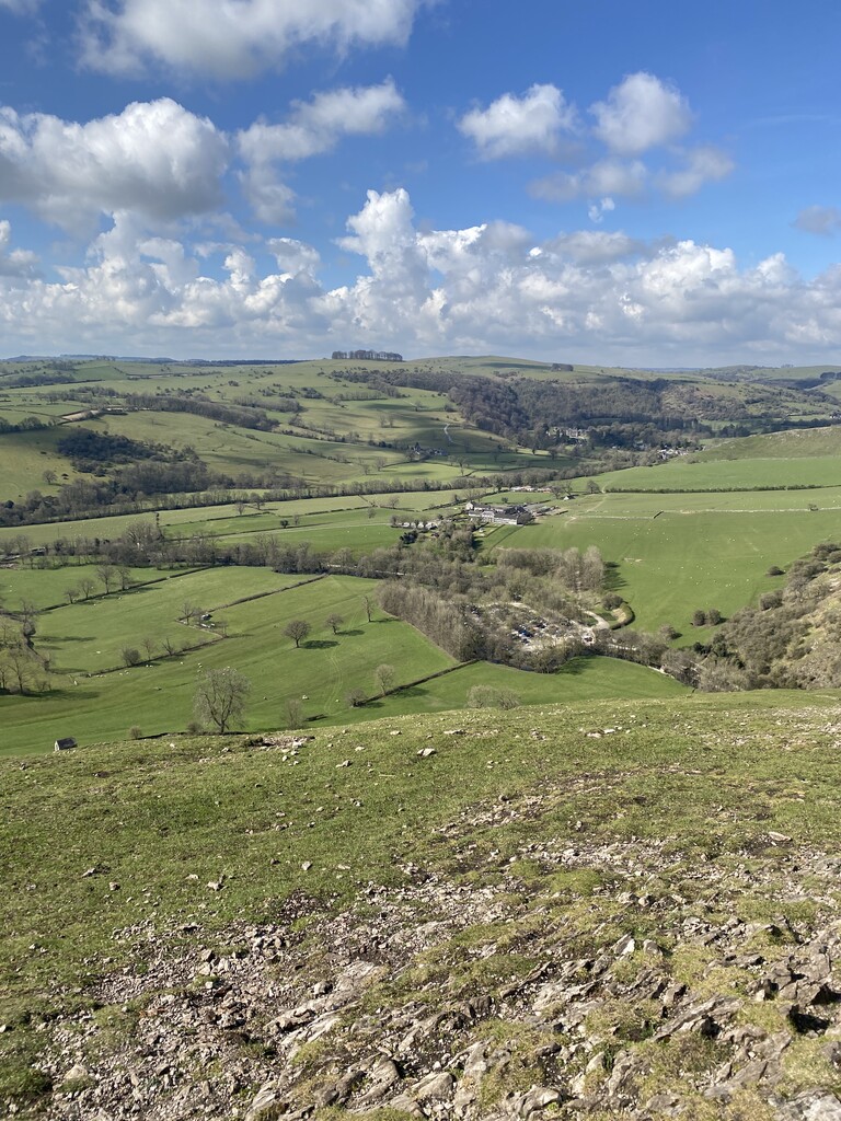
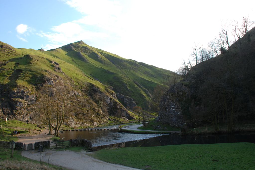
Thorpe Cloud is an isolated limestone hill (a reef knoll) lying between the villages of Thorpe and Ilam on the Derbyshire/Staffordshire border at the southern end of Dovedale. It is a popular hill amongst the many day-trippers who visit the area, and provides a fine viewpoint north up the dale and south across the Midland plain.
Like much of the dale, including Bunster Hill on the opposite bank, it is in the ownership of the National Trust, and is part of their South Peak Estate. These Dovedale properties were acquired by the Trust in 1934.
A double sunset can sometimes be seen against Thorpe Cloud from the top of nearby Lin Dale, as captured on film by the photographer Chris Doherty. The occurrence is visible in good weather on and around the summer solstice and perhaps beyond, when the sun sets on the summit of the hill, partially reappears from its steep northern slope and sets for a second and final time shortly afterwards.
Thorpe Cloud and Dovedale were used as locations in the 2010 film of Robin Hood, starring Russell Crowe. Thorpe Cloud can be clearly made out in several scenes towards the end of the film.
Thorpe Cloud also has a rifle range which local and national shooting clubs use.
There's a trail leading to the summit.
By prominence Thorpe Cloud is
# 22 out of 314 in Derbyshire # 25 out of 342 in Peak District National Park
We use GPS information embedded into the photo when it is available.
3D mountains overlay
Adjust mountain panorama to perfectly match your photos because recorded by camera photo position might be imprecise.
Move tool
Rotate tool
Zoom
More customization
Choose which peak labels should make into the final photo and what photo title should be.
Next
Photo Location
Satellitte
Flat map
Relief map
Latitude
Longitude
Altitude
OR
Latitude
°'''
Longitude
°'''
Apply
Register Peak
Peak Name
Latitude
Longitude
Altitude
Register
Teleport
PeakVisor
This 3D model of Sagarmatha National Park in Nepal was made using the PeakVisor app topographic data. The mobile app features higher precision models worldwide, more topographic details, and works offline. Download PeakVisor maps today.
Download OBJ model
PeakVisor
The download should start shortly. If you find it useful please consider supporting the PeakVisor app.
PeakVisor for iOS and Android
Be a superhero of outdoor navigation with state-of-the-art 3D maps and mountain identification in the palm of your hand!