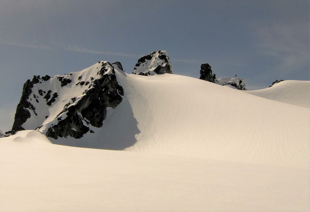
Horsemans Pack (8,156 feet (2,486 m)), and "The Horseman" (7,760 feet (2,370 m)), are summits located in North Cascades National Park in the U.S. state of Washington. Located in the south unit of the park, Horsemans Pack is .70 mi (1.13 km) west of Snowfield Peak and the Neve Glacier descends from the east slopes of the mountain. The first ascent of Horsemans Pack was made August 1, 1931, by William Degenhardt and Herbert Strandberg who also named this feature, whereas the first ascent of The Horseman was made July 17, 1982, by John Roper, Silas Wild, and Russ Kroeker. The Horseman's toponym has been officially adopted by the U.S. Board on Geographic Names, but Horsemans Pack has not.
By elevation The Needle is
# 30 out of 137 in Skagit County # 40 out of 123 in North Cascades National Park
By prominence The Needle is
# 85 out of 137 in Skagit County # 87 out of 123 in North Cascades National Park
We use GPS information embedded into the photo when it is available.
3D mountains overlay
Adjust mountain panorama to perfectly match your photos because recorded by camera photo position might be imprecise.
Move tool
Rotate tool
Zoom
More customization
Choose which peak labels should make into the final photo and what photo title should be.
Next
Photo Location
Satellitte
Flat map
Relief map
Latitude
Longitude
Altitude
OR
Latitude
°'''
Longitude
°'''
Apply
Register Peak
Peak Name
Latitude
Longitude
Altitude
Register
Teleport
PeakVisor
This 3D model of Sagarmatha National Park in Nepal was made using the PeakVisor app topographic data. The mobile app features higher precision models worldwide, more topographic details, and works offline. Download PeakVisor maps today.
Download OBJ model
PeakVisor
The download should start shortly. If you find it useful please consider supporting the PeakVisor app.
PeakVisor for iOS and Android
Be a superhero of outdoor navigation with state-of-the-art 3D maps and mountain identification in the palm of your hand!