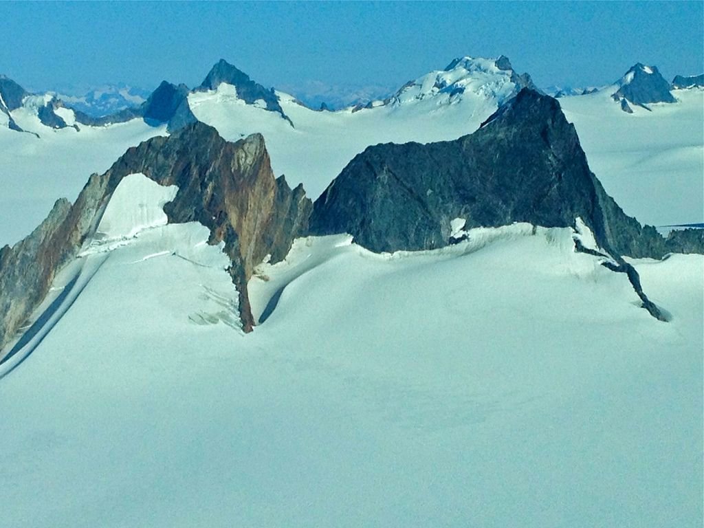
Snowpatch Crag is a 6,345 ft (1,930 m) elevation glaciated mountain summit located in the Boundary Ranges of the Coast Mountains, in the U.S. state of Alaska. Snowpatch Crag is a nunatak surrounded by the Taku Glacier, and is situated near the west side of the Juneau Icefield, 25 mi (40 km) north of Juneau, and 1.8 mi (3 km) northeast of The Snow Towers, on land managed by Tongass National Forest. The mountain was named by members of the Juneau Icefield Research Project in 1964, and was officially adopted in 1965 by the U.S. Board on Geographic Names. Variant names for this geographic feature are "Snowpatch Peak" and "Snowpatch Craig."
By elevation Snowpatch Craig is
# 44 out of 156 in Juneau # 50 out of 98 in the Juneau Icefield
By prominence Snowpatch Craig is
# 78 out of 156 in Juneau # 69 out of 98 in the Juneau Icefield
We use GPS information embedded into the photo when it is available.
3D mountains overlay
Adjust mountain panorama to perfectly match your photos because recorded by camera photo position might be imprecise.
Move tool
Rotate tool
Zoom
More customization
Choose which peak labels should make into the final photo and what photo title should be.
Next
Photo Location
Satellitte
Flat map
Relief map
Latitude
Longitude
Altitude
OR
Latitude
°'''
Longitude
°'''
Apply
Register Peak
Peak Name
Latitude
Longitude
Altitude
Register
Teleport
PeakVisor
This 3D model of Sagarmatha National Park in Nepal was made using the PeakVisor app topographic data. The mobile app features higher precision models worldwide, more topographic details, and works offline. Download PeakVisor maps today.
Download OBJ model
PeakVisor
The download should start shortly. If you find it useful please consider supporting the PeakVisor app.
PeakVisor for iOS and Android
Be a superhero of outdoor navigation with state-of-the-art 3D maps and mountain identification in the palm of your hand!