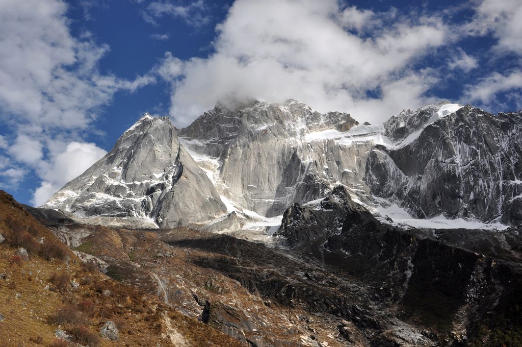
Mount Siguniang (Chinese: 四姑娘山; pinyin: Sìgūniang Shān; lit. 'Mountain of the Four Maidens'), or Mount Skubla (Tibetan: རི་བོ་སྐུ་བླ་, Wylie: ri bo sku bla, lit. 'Mountain of the tutelary deity') is the highest mountain of Qionglai Mountains in Western China. It is located in the bordering area of Siguniangshan Town, Xiaojin County and Wenchuan County in Ngawa Tibetan and Qiang Autonomous Prefecture, Sichuan Province.
Mount Siguniang is renowned for its beauty. Mount Siguniang National Park was identified as a UNESCO Heritage Site as part of Sichuan Giant Panda Sanctuaries in 2006. The park comprises Mount Siguniang and the surrounding three valleys, namely Changping Valley (长坪沟), Haizi Valley (海子沟) and Shuangqiao Valley (双桥沟), covering an area of 2,000sq km.
By elevation Siguniang Shan is
# 46 out of 2040 in the Yunnan–Guizhou Plateau # 29 out of 46 in Xiaojin County # 92 out of 440 in Sichuan
We use GPS information embedded into the photo when it is available.
3D mountains overlay
Adjust mountain panorama to perfectly match your photos because recorded by camera photo position might be imprecise.
Move tool
Rotate tool
Zoom
More customization
Choose which peak labels should make into the final photo and what photo title should be.
Next
Photo Location
Satellitte
Flat map
Relief map
Latitude
Longitude
Altitude
OR
Latitude
°'''
Longitude
°'''
Apply
Register Peak
Peak Name
Latitude
Longitude
Altitude
Register
Teleport
PeakVisor
This 3D model of Sagarmatha National Park in Nepal was made using the PeakVisor app topographic data. The mobile app features higher precision models worldwide, more topographic details, and works offline. Download PeakVisor maps today.
Download OBJ model
PeakVisor
The download should start shortly. If you find it useful please consider supporting the PeakVisor app.
PeakVisor for iOS and Android
Be a superhero of outdoor navigation with state-of-the-art 3D maps and mountain identification in the palm of your hand!