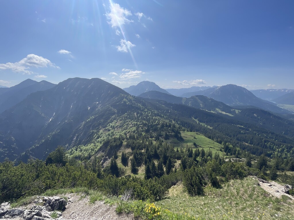
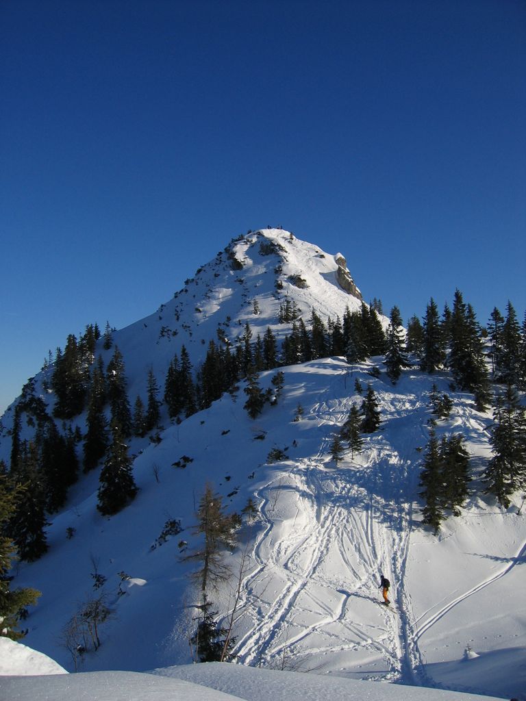
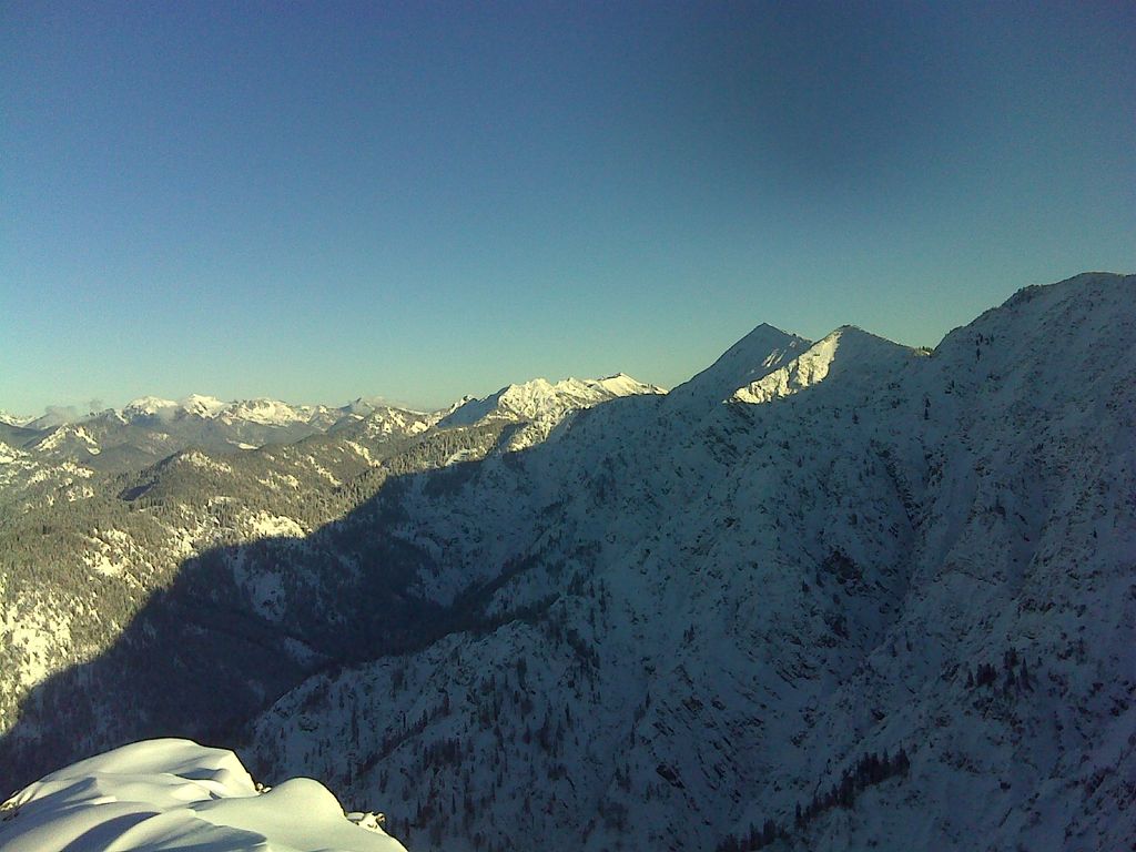
The Schildenstein is a 1613 m high mountain in the Mangfall Mountains in Bavaria.
The peak can be reached after an easy hike from Kreuth over the Geißalm and Königsalm. The route via the Wolfsschlucht, on the other hand, is made secure by wire cables. The Blauberge are connected to the East side of the Schildenstein.
The Kavalierhaus on the Königsalm was built in 1818 by the King of Bavaria, Maximilian I. The king was said to have frequented the Alpine pasture. The wooden structure nearby dates from 1723, and is the largest historic alpine hut in the Miesbach district.
There's a demading hiking trail (T3) leading to the summit.
The nearest mountain hut is Jausenstation Blaubergalm located 1 237m/4 059ft ESE of the summit.
We use GPS information embedded into the photo when it is available.
3D mountains overlay
Adjust mountain panorama to perfectly match your photos because recorded by camera photo position might be imprecise.
Move tool
Rotate tool
Zoom
More customization
Choose which peak labels should make into the final photo and what photo title should be.
Next
Photo Location
Satellitte
Flat map
Relief map
Latitude
Longitude
Altitude
OR
Latitude
°'''
Longitude
°'''
Apply
Register Peak
Peak Name
Latitude
Longitude
Altitude
Register
Teleport
PeakVisor
This 3D model of Sagarmatha National Park in Nepal was made using the PeakVisor app topographic data. The mobile app features higher precision models worldwide, more topographic details, and works offline. Download PeakVisor maps today.
Download OBJ model
PeakVisor
The download should start shortly. If you find it useful please consider supporting the PeakVisor app.
PeakVisor for iOS and Android
Be a superhero of outdoor navigation with state-of-the-art 3D maps and mountain identification in the palm of your hand!