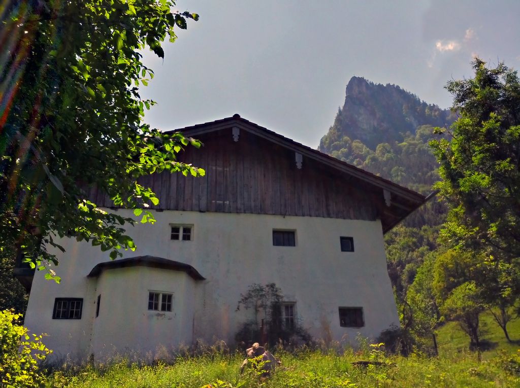
Maiwand (Berg) is a mountain in Flintsbach, of the Inntal valley, Bavaria, Germany, its peak altitude is of 1135m (3723 ft.).
The Maiwand is a Summit below the Riesenkopf mountain. It is located to the east of the Grosser Riesenkopf, in the Wendelsteingebiet of the Mangfall mountains in the Bavarian prealps. The rock on the Maiwand is mostly light-colored limestone from the lower and middle Jura, this rock can also be found on the top part of the Heuberg.
The easiest way up Maiwand, is through the southwest hiking path, although this is considered the easiest way, it is still rated a T5 of 6 on the SAC Hiking difficulty scale. Documented climbing routes exist leading up the east and south of the Maiwand, although they are considered to be far from easy and none are equipped with preinstalled safety measures.
There's a demading hiking trail (T3) leading to the summit.
The nearest mountain hut is Berggasthaus Petersberg located 1 081m/3 546ft ENE of the summit.
We use GPS information embedded into the photo when it is available.
3D mountains overlay
Adjust mountain panorama to perfectly match your photos because recorded by camera photo position might be imprecise.
Move tool
Rotate tool
Zoom
More customization
Choose which peak labels should make into the final photo and what photo title should be.
Next
Photo Location
Satellitte
Flat map
Relief map
Latitude
Longitude
Altitude
OR
Latitude
°'''
Longitude
°'''
Apply
Register Peak
Peak Name
Latitude
Longitude
Altitude
Register
Teleport
PeakVisor
This 3D model of Sagarmatha National Park in Nepal was made using the PeakVisor app topographic data. The mobile app features higher precision models worldwide, more topographic details, and works offline. Download PeakVisor maps today.
Download OBJ model
PeakVisor
The download should start shortly. If you find it useful please consider supporting the PeakVisor app.
PeakVisor for iOS and Android
Be a superhero of outdoor navigation with state-of-the-art 3D maps and mountain identification in the palm of your hand!