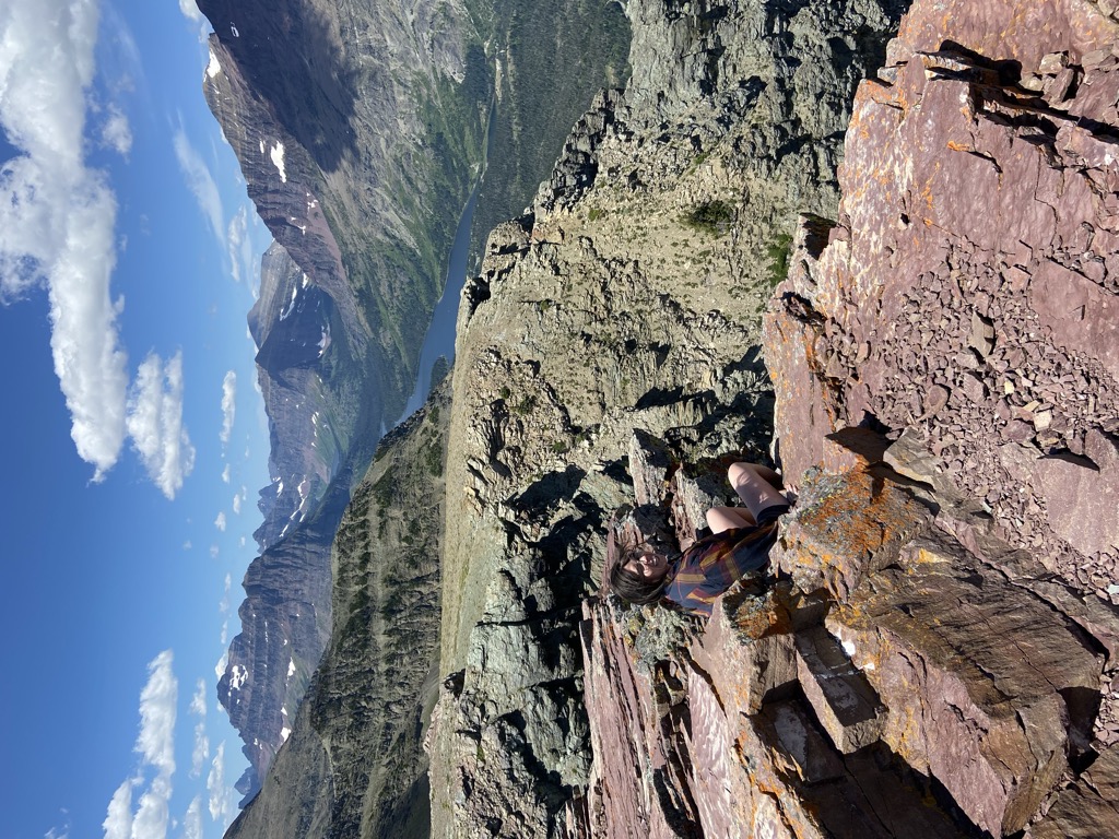
Scenic Point is a 7,522-foot-elevation (2,293-meter) mountain summit located in the Two Medicine area of Glacier National Park, in Glacier County, Montana, United States. It is situated in the Lewis Range, six miles northwest of East Glacier Park Village, and approximately seven miles east of the Continental Divide, with precipitation runoff from the mountain draining into the Two Medicine River watershed. Topographic relief is significant as the north aspect rises over 2,600 feet (790 meters) above Lower Two Medicine Lake in one mile. Access to the summit is via the Continental Divide National Scenic Trail which traverses the upper slopes of this mountain. The trail to Scenic Point was constructed by the Great Northern Railway, and the summit once hosted a locomotive bell, a Swiss Alps tradition. The mountain's name was officially adopted in 1929 by the United States Board on Geographic Names.
We use GPS information embedded into the photo when it is available.
3D mountains overlay
Adjust mountain panorama to perfectly match your photos because recorded by camera photo position might be imprecise.
Move tool
Rotate tool
Zoom
More customization
Choose which peak labels should make into the final photo and what photo title should be.
Next
Photo Location
Satellitte
Flat map
Relief map
Latitude
Longitude
Altitude
OR
Latitude
°'''
Longitude
°'''
Apply
Register Peak
Peak Name
Latitude
Longitude
Altitude
Register
Teleport
PeakVisor
This 3D model of Sagarmatha National Park in Nepal was made using the PeakVisor app topographic data. The mobile app features higher precision models worldwide, more topographic details, and works offline. Download PeakVisor maps today.
Download OBJ model
PeakVisor
The download should start shortly. If you find it useful please consider supporting the PeakVisor app.
PeakVisor for iOS and Android
Be a superhero of outdoor navigation with state-of-the-art 3D maps and mountain identification in the palm of your hand!