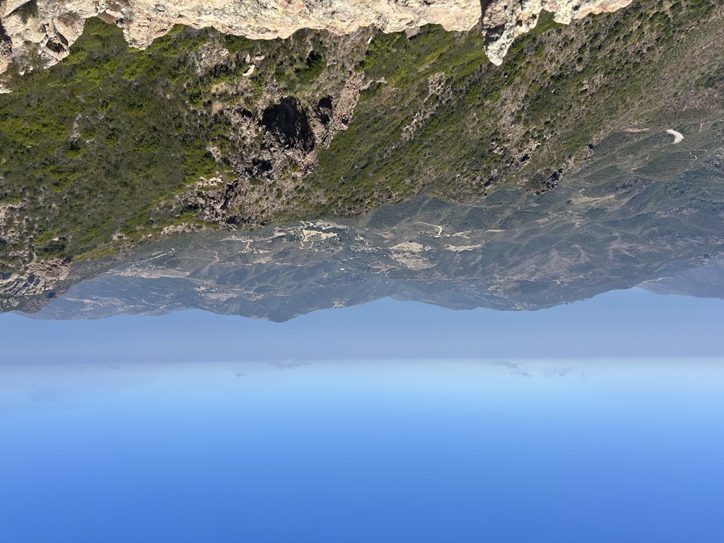
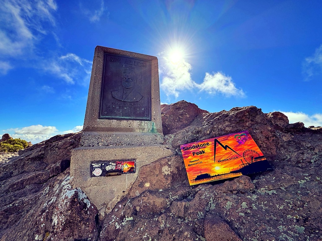
Sandstone Peak, also known as Mount Allen, is a mountain in Ventura County, California. It is the highest summit in the Santa Monica Mountains, with an elevation of 3,114 feet (949 m). Located near the western edge of the Santa Monica Mountains National Recreation Area, the summit provides panoramic views of Malibu, the Pacific Ocean, Santa Monica, the Conejo Valley, and four of the Channel Islands.
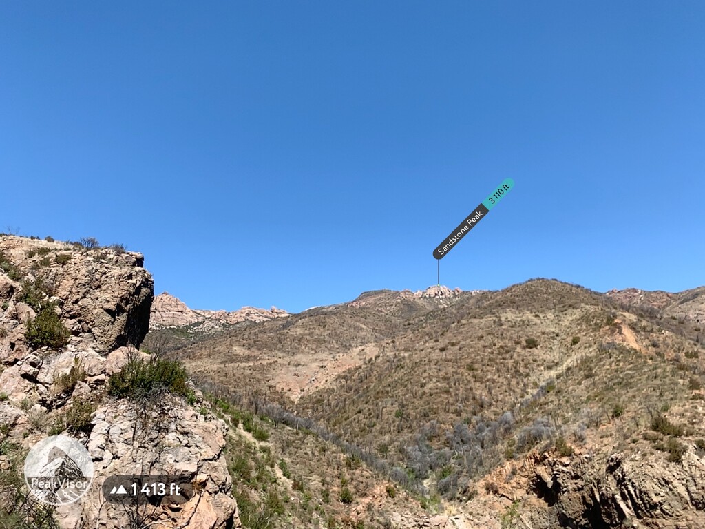
There's a trail called Sandstone Peak Trail leading to the summit.
By elevation Sandstone Peak is
# 1 out of 5 in Circle X Ranch (NPS) # 1 out of 34 in Santa Monica Mountains National Recreation Area # 43 out of 91 in Ventura County # 1 out of 48 in the Santa Monica Mountains
By prominence Sandstone Peak is
# 1 out of 5 in Circle X Ranch (NPS) # 31 out of 2181 in the California Ranges # 1 out of 34 in Santa Monica Mountains National Recreation Area # 5 out of 91 in Ventura County # 1 out of 48 in the Santa Monica Mountains
We use GPS information embedded into the photo when it is available.
3D mountains overlay
Adjust mountain panorama to perfectly match your photos because recorded by camera photo position might be imprecise.
Move tool
Rotate tool
Zoom
More customization
Choose which peak labels should make into the final photo and what photo title should be.
Next
Photo Location
Satellitte
Flat map
Relief map
Latitude
Longitude
Altitude
OR
Latitude
°'''
Longitude
°'''
Apply
Register Peak
Peak Name
Latitude
Longitude
Altitude
Register
Teleport
PeakVisor
This 3D model of Sagarmatha National Park in Nepal was made using the PeakVisor app topographic data. The mobile app features higher precision models worldwide, more topographic details, and works offline. Download PeakVisor maps today.
Download OBJ model
PeakVisor
The download should start shortly. If you find it useful please consider supporting the PeakVisor app.
PeakVisor for iOS and Android
Be a superhero of outdoor navigation with state-of-the-art 3D maps and mountain identification in the palm of your hand!