Scan the QR code and open PeakVisor on your phone
In the late 1960s and early 1970s, land developers were rapidly developing land in the Santa Monica Mountains, an area known for its immense natural beauty. After years of local residents and conservationists calling for the preservation of the Santa Monica Mountains, in 1978, the National Parks and Recreation Act was signed and roughly 150,000 acres were protected from Franklin Canyon to Point Mugu in Ventura County.
Today, the Santa Monica Mountains National Recreation Area (SMMNRA) encompasses 153,785 acres and contains several unique parks and open space preserves, including Malibu Creek State Park, Topanga State Park, Point Mugu State Park, Solstice Canyon, Paramount Ranch, and the Backbone Trail System. As a whole, the SMMNRA is administered by the National Park Service, though state, county, municipal, and university agencies also aid in management of the land.
The largest urban national park in the United States, the Santa Monica Mountains National Recreation Area protects one of the highest densities of archaeological resources in any mountain range in the world. The park houses more than 1,000 archaeological sites dating back more than 10,000 years.
Twenty-six Chumash pictographs sites are located in the national recreation area and at least 73 archeological sites, historic structures, cultural landscapes, and cultural properties are eligible to be listed on the National Register of Historic Places. Significant landmarks include the Santa Monica Looff Hippodrome, Will Rogers’ house, the Saddle Rock Ranch Pictographs, Point Dume, the Adamson House, and the Old Santa Monica Forestry Station.
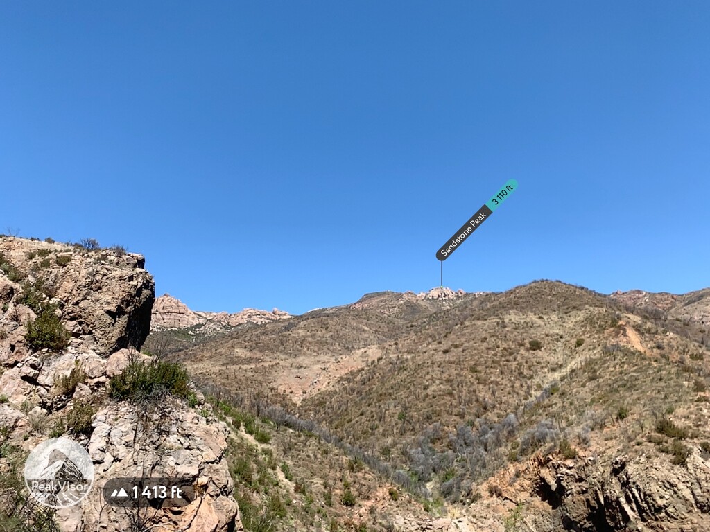
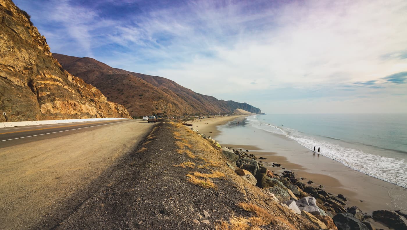
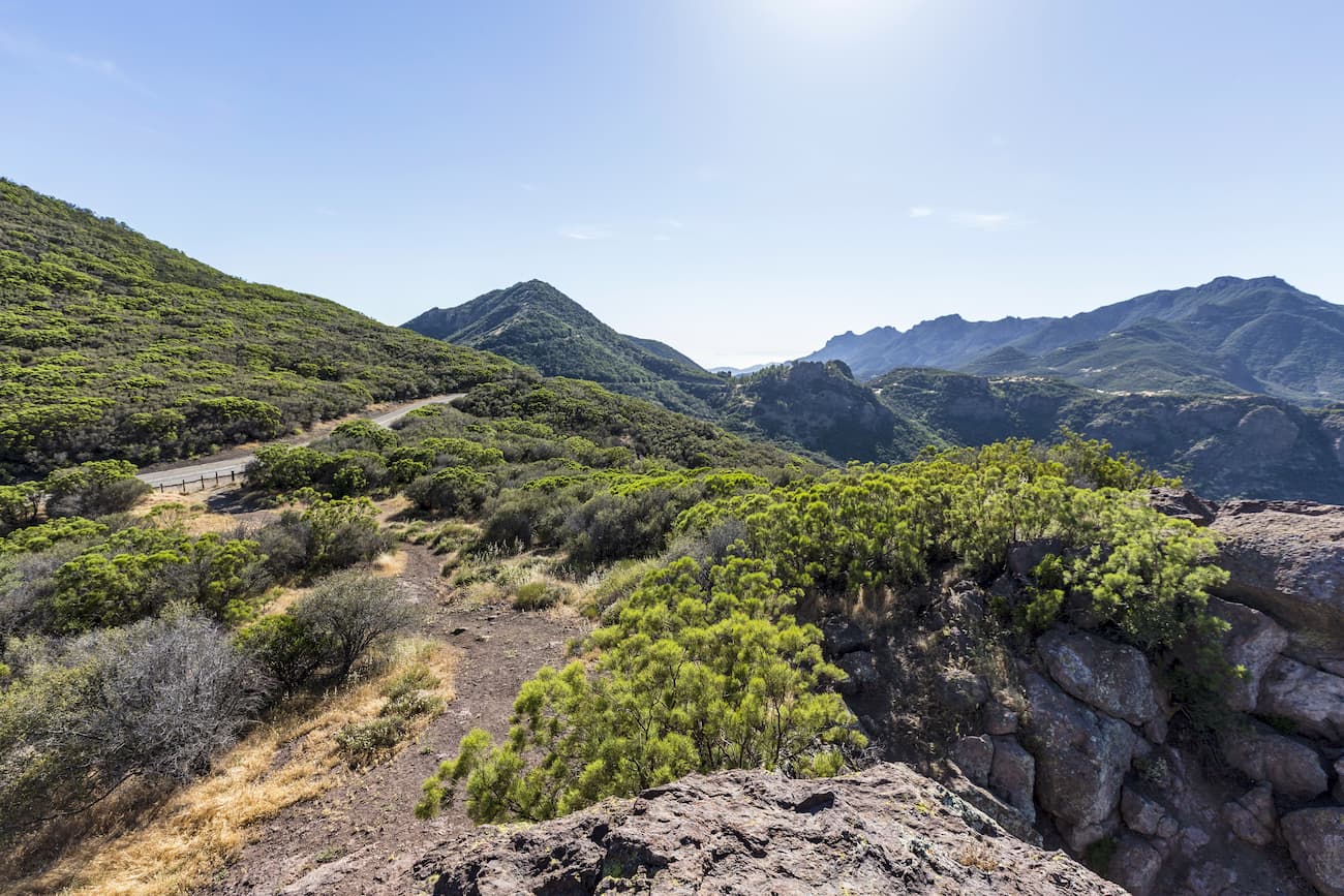
The historical and cultural significance of the Santa Monica Mountains is complemented by beautiful, rugged mountain slopes and canyons. Part of the east-west trending Traverse Ranges, the Santa Monica Mountains provide boundless recreational opportunities, including biking, hiking, camping, whale watching, rock climbing, and horseback riding.
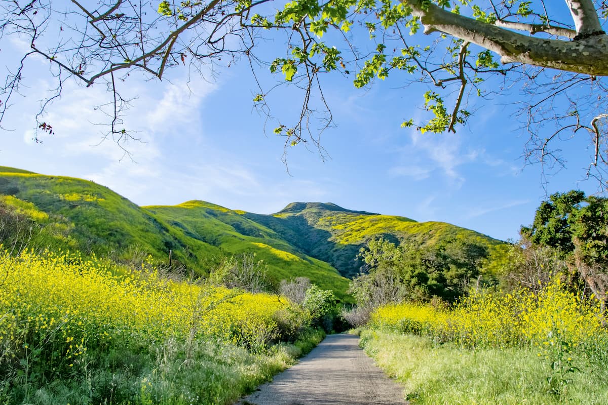
The Santa Monica Mountains preserve one of the best examples of a Mediterranean climate ecosystem and represent tremendous ecological diversity. Roughly 1,000 plant species, 400 species of birds, 35 species of reptiles, and 50 threatened or endangered plants and animals call this slice of Southern California paradise home.
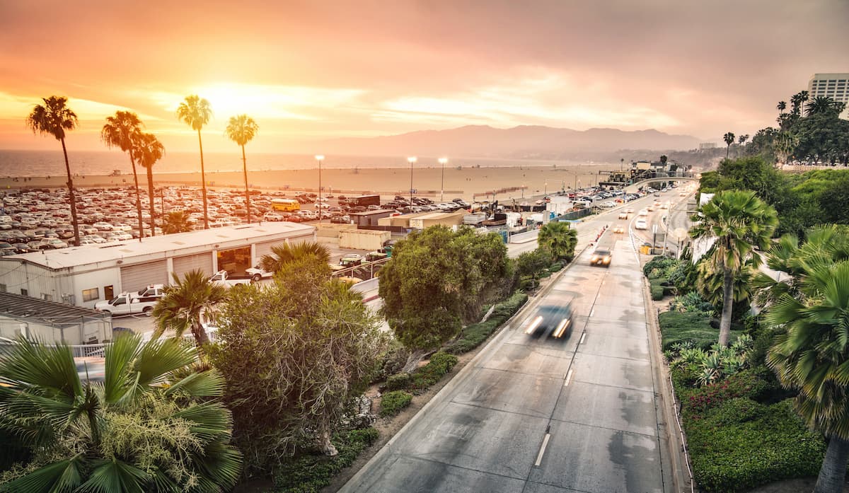
The Santa Monica National Recreation Area spans five different area codes and twenty-six different zip codes. To say it’s accessible is an understatement. About 17 million people live within close proximity to the park, making it a popular destination for Los Angeles County locals. Main entrances to the SMMNRA can be found in Malibu, Newbury Park, Agoura Hills, Calabasas, Woodland Hills, and Topanga.
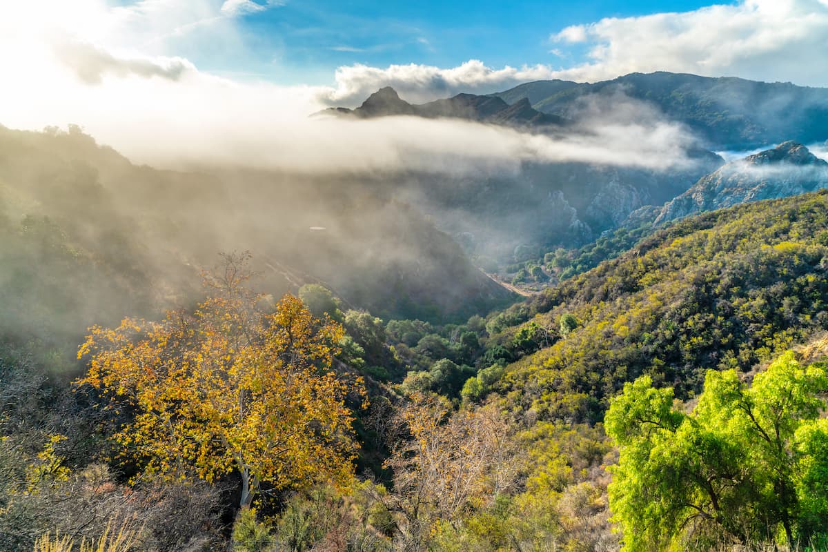
Solstice Canyon is a picturesque canyon beloved by locals for its natural beauty and relative solitude. Just north of Malibu, Solstice boasts an array of hiking trails ranging from easy to strenuous. Hikers heading to the Solstice waterfall, the most-frequented site in the canyon, will pass remnants of the Keller House, a stone hunting cabin built over 100 years ago, and the Roberts Ranch, a home designed by Paul Revere Williams in 1952.
Runyon Canyon is a 160-acre park that sits at the eastern end of the Santa Monica Mountains. One of the most popular hiking destinations in Los Angeles, Runyon Canyon boasts several overlapping loops with scenic views overlooking Hollywood. Celebrity sightings aren’t uncommon in Runyon Canyon, due to the park’s proximity to Hollywood Hills, so you should expect to share the trail with both outdoor enthusiasts and star-struck sightseers.
Malibu Creek State Park encompasses over 8,200-acres of Malibu Creek Canyon and is a popular destination among Hollywood history buffs. In the 1940s, Malibu Creek was the backdrop to iconic Hollywood productions like “Planet of the Apes,” and “Butch Cassidy and the Sundance Kid.” The park’s most popular trail, however, leads to the former set of the hit television series M*A*S*H. Hikers often take this trail to snap selfies with an old military ambulance and rusted relics from the series.
Stretching from Topanga Canyon to Pacific Palisades and Mulholland Drive, Topanga State Park encompasses 11,000 acres of the Santa Monica Mountains. Topanga is not only the largest park in the Santa Monica Mountains, but it’s also considered the largest in Los Angeles. Over 35 trails and unimproved roads exist within the park. Popular trails include Eagle Rock, the Backbone Trail System, and the Santa Inez trail.
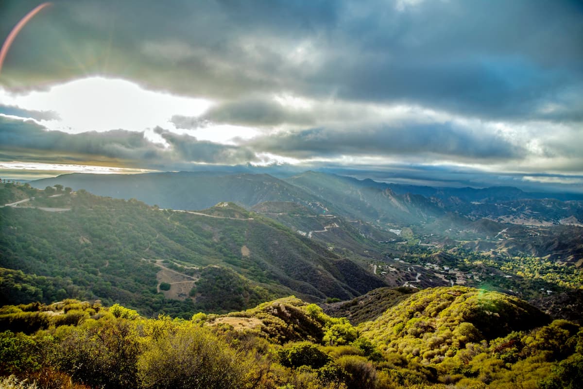
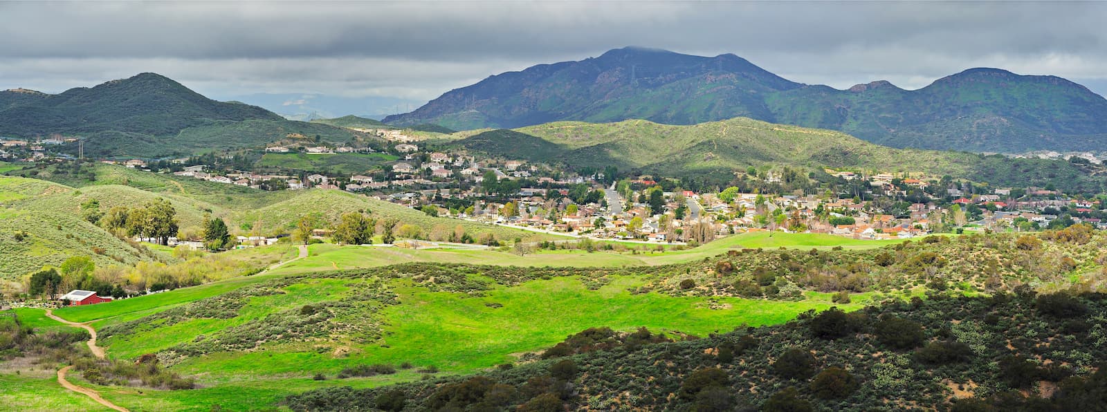
Several Los Angeles communities are located along the north slope of the Santa Monica Mountains including Calabasas, Agoura Hills, Thousand Oaks, Westlake Village, Woodland Hills, West Hills, and Bell Canyon. On the southern slope of the Santa Monica Mountains, communities like Beverly Hills, Santa Monica, and Malibu boast a variety of amenities and accommodations.