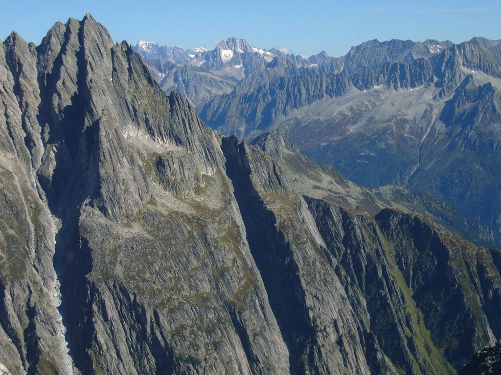
The Salbitschijen is a mountain in the Urner Alps, overlooking Göschenen in the Swiss canton of Uri. It lies at the southern extremity of the range of the Fleckistock.
It is known for its rock climbing opportunities; the ridges from the south being firstly climbed in 1935 while the western ridge, that was thought to be inaccessible to earlier climbers, was first climbed in 1948.
In 2009 a high level suspension bridge (Salbitbrücke) was installed on its southern flank, making it possible to pass from the Salbithütte to the Voralphütte without the use of climbing gear. It is nevertheless an exposed path and most people will use via ferrata equipment to traverse the bridge and the following ridge. Such equipment can be hired at the nearby huts Voralphütte and Salbithütte of the Swiss Alpine Club.
The nearest mountain hut is Salbitschijen-Biwak located 636m/2 086ft SW of the summit.
We use GPS information embedded into the photo when it is available.
3D mountains overlay
Adjust mountain panorama to perfectly match your photos because recorded by camera photo position might be imprecise.
Move tool
Rotate tool
Zoom
More customization
Choose which peak labels should make into the final photo and what photo title should be.
Next
Photo Location
Satellitte
Flat map
Relief map
Latitude
Longitude
Altitude
OR
Latitude
°'''
Longitude
°'''
Apply
Register Peak
Peak Name
Latitude
Longitude
Altitude
Register
Teleport
PeakVisor
This 3D model of Sagarmatha National Park in Nepal was made using the PeakVisor app topographic data. The mobile app features higher precision models worldwide, more topographic details, and works offline. Download PeakVisor maps today.
Download OBJ model
PeakVisor
The download should start shortly. If you find it useful please consider supporting the PeakVisor app.
PeakVisor for iOS and Android
Be a superhero of outdoor navigation with state-of-the-art 3D maps and mountain identification in the palm of your hand!