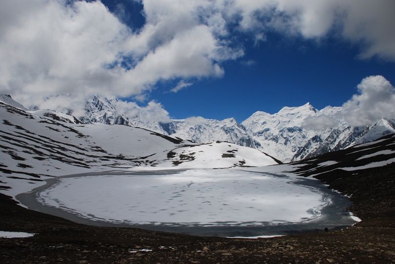
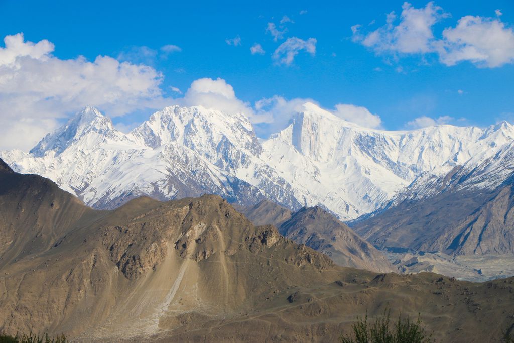
Rush Peak (Urdu: رش چوٹی) is a mountain in the Karakoram mountain range of Central Asia. It is located in the Nagar District of Gilgit-Baltistan, Pakistan. While not a high peak by local standards, it is noteworthy as a remote trekking destination. It can be reached via Nagar Valley and Hoper Village. The peak can be accessed via Hoper Glacier (Bualtar Glacier) and Barpu Glacier. The peak is relatively easy to climb in the summer months and ascents have been made by amateur climbers without proper mountaineering gear. In winter, access to the mountain is made difficult by heavy snow. The top of the peak provides views of Miar Peak (6,824 m), Miar Glacier and Phuparash Peak (6,574 m). On a clear day, one can look east of Rush Peak and see some of the world's highest mountains, including K2 and Broad Peak. At the mountain's base lies one of the world's highest alpine lakes, Rush Lake (4,694m).
We use GPS information embedded into the photo when it is available.
3D mountains overlay
Adjust mountain panorama to perfectly match your photos because recorded by camera photo position might be imprecise.
Move tool
Rotate tool
Zoom
More customization
Choose which peak labels should make into the final photo and what photo title should be.
Next
Photo Location
Satellitte
Flat map
Relief map
Latitude
Longitude
Altitude
OR
Latitude
°'''
Longitude
°'''
Apply
Register Peak
Peak Name
Latitude
Longitude
Altitude
Register
Teleport
PeakVisor
This 3D model of Sagarmatha National Park in Nepal was made using the PeakVisor app topographic data. The mobile app features higher precision models worldwide, more topographic details, and works offline. Download PeakVisor maps today.
Download OBJ model
PeakVisor
The download should start shortly. If you find it useful please consider supporting the PeakVisor app.
PeakVisor for iOS and Android
Be a superhero of outdoor navigation with state-of-the-art 3D maps and mountain identification in the palm of your hand!