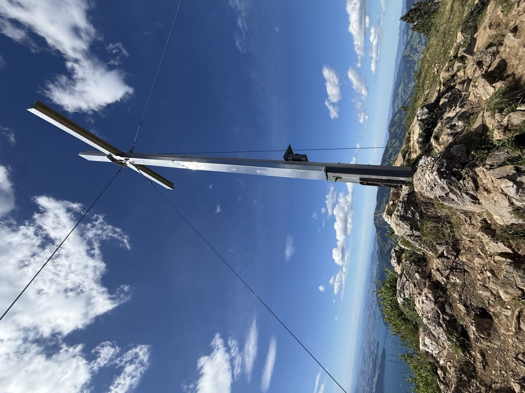
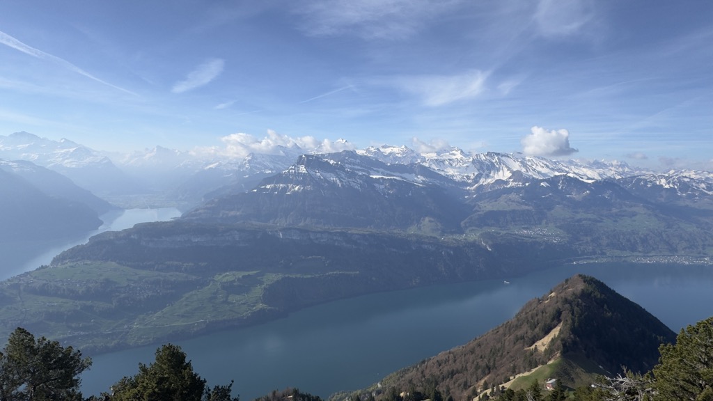
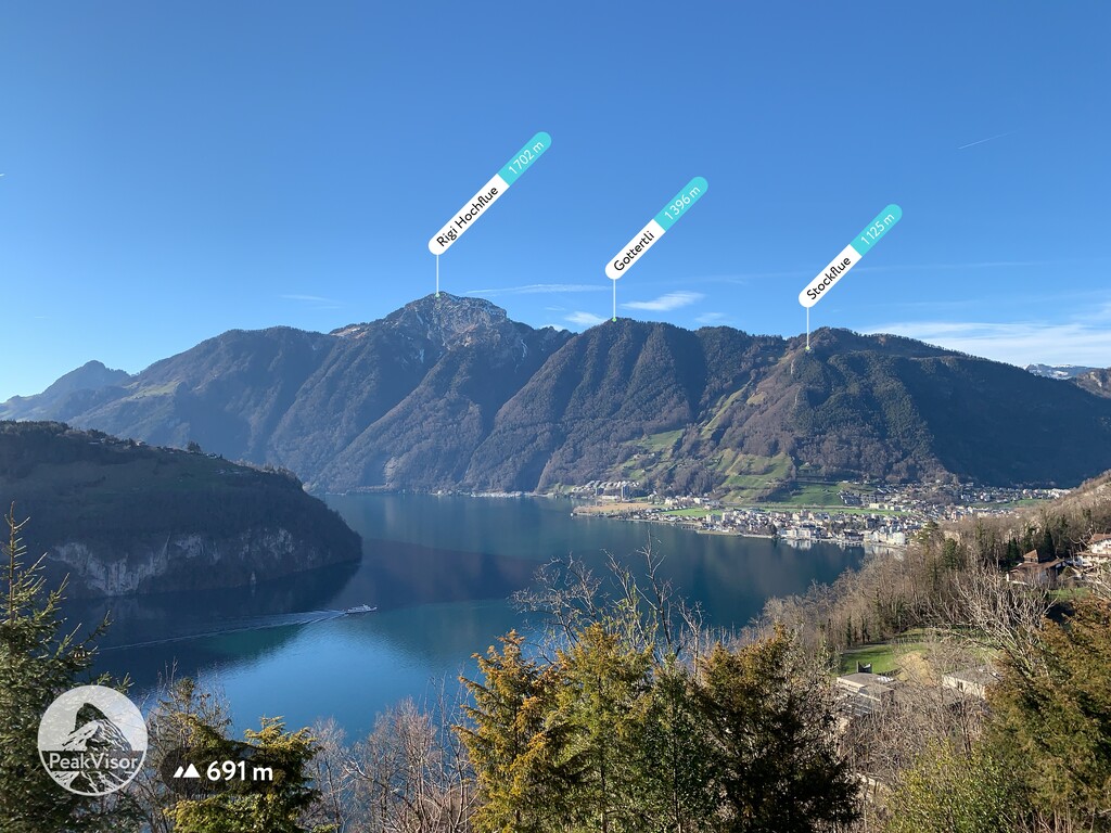
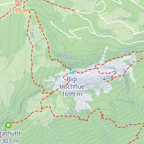
The Rigi Hochflue is a mountain summit west of the mountain range Urmiberg, in itself part of the Rigi massif, overlooking the Gersauerbecken of Lake Lucerne in Central Switzerland on its mountainside to the south, and Lake Lauerz on its north side. It has an elevation of 1,699 metres (5,574 ft) above sea level and is located in the canton of Schwyz.
There's a demanding alpine trail (T5) leading to the summit. Rigi Hochflue is one of the 1 peaks along the Egg-Rigi Hochflue.
The nearest mountain hut is Bärfallen located 1 216m/3 989ft ESE of the summit.
By elevation Rigi Hochflue is
# 1 out of 4 in Gersau
By prominence Rigi Hochflue is
# 31 out of 1882 in the Swiss Prealps # 6 out of 300 in Schwyz # 1 out of 4 in Gersau # 5 out of 212 in Schwyz
We use GPS information embedded into the photo when it is available.
3D mountains overlay
Adjust mountain panorama to perfectly match your photos because recorded by camera photo position might be imprecise.
Move tool
Rotate tool
Zoom
More customization
Choose which peak labels should make into the final photo and what photo title should be.
Next
Photo Location
Satellitte
Flat map
Relief map
Latitude
Longitude
Altitude
OR
Latitude
°'''
Longitude
°'''
Apply
Register Peak
Peak Name
Latitude
Longitude
Altitude
Register
Teleport
PeakVisor
This 3D model of Sagarmatha National Park in Nepal was made using the PeakVisor app topographic data. The mobile app features higher precision models worldwide, more topographic details, and works offline. Download PeakVisor maps today.
Download OBJ model
PeakVisor
The download should start shortly. If you find it useful please consider supporting the PeakVisor app.
PeakVisor for iOS and Android
Be a superhero of outdoor navigation with state-of-the-art 3D maps and mountain identification in the palm of your hand!