Farley Ledges, 1,067 feet (325 m) is a bluff knob located on the southeast side of Northfield Mountain in eastern Franklin County, Massachusetts. The ledge is notable for its extensive rock climbing ascents; it rises 700 feet (210 m) above the small village of Farley (part of Erving, Massachusetts) and has been used by rock climbers since the 1930s. The Western Massachusetts Climbers Coalition has been active in purchasing land to preserve access to the mountain; 2007 purchases included a parcel along Route 2 developed into a trailhead with a parking lot and access corridor to the ledges. The 110-mile (180 km) Metacomet-Monadnock Trail ascends the wooded north side of the ledges where Briggs Brook Falls tumbles from the ridgecrest; a marked rock climbing access loop trail departs from the Metacomet-Monadnock Trail to traverse both the summit of the ledges and the extensive boulder field beneath.
Climbing access at Farley is an ongoing concern and the crag has faced closures by landowners in the past. Landowners have requested that no online or printed guides containing climbing route descriptions or grades are published. As a result, climbing at Farley Ledges is a social affair for new climbers who must seek out experienced locals for climbing information.
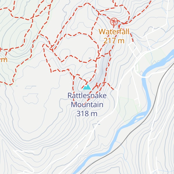
There's a trail called Rattlesnake Loop leading to the summit. Rattlesnake Mountain is one of the 1 peaks along the Farley Ledge loop.
We use GPS information embedded into the photo when it is available.
3D mountains overlay
Adjust mountain panorama to perfectly match your photos because recorded by camera photo position might be imprecise.
Move tool
Rotate tool
Zoom
More customization
Choose which peak labels should make into the final photo and what photo title should be.
Next
Photo Location
Satellitte
Flat map
Relief map
Latitude
Longitude
Altitude
OR
Latitude
°'''
Longitude
°'''
Apply
Register Peak
Peak Name
Latitude
Longitude
Altitude
Register
Teleport
PeakVisor
This 3D model of Sagarmatha National Park in Nepal was made using the PeakVisor app topographic data. The mobile app features higher precision models worldwide, more topographic details, and works offline. Download PeakVisor maps today.
Download OBJ model
PeakVisor
The download should start shortly. If you find it useful please consider supporting the PeakVisor app.
PeakVisor for iOS and Android
Be a superhero of outdoor navigation with state-of-the-art 3D maps and mountain identification in the palm of your hand!