Porter Mountain is one of the Adirondack High Peaks. It is number 38 in order of height, and one of the easier hikes of the Adirondack Forty-Sixers. It is named after Noah Porter, one of the first to climb it, later president of Yale University.
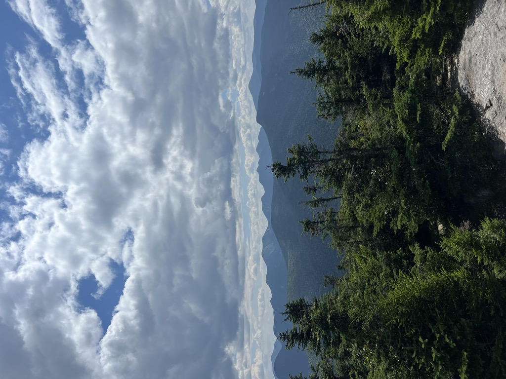
It is often climbed to with Cascade Mountain. While it lacks the pseudo-alpine open summit of Cascade, there are nevertheless wide views available from the summit, particularly of the Johns Brook Valley to the east (which Porter blocks from Cascade); it is often less crowded than Cascade.
A yellow-blazed trail leaves the trail to Cascade about 0.5 miles (0.80 km) short of that mountain's summit, and leads down into the mountain pass between the two peaks about 1 mile (1.6 km) to Porter's summit.
It is also possible to follow this trail from its other terminus, over neighboring Blueberry Mountain from Keene Valley, although that involves a greater vertical ascent and a longer trip. The trailhead to Blueberry Mountain and subsequently Porter Mountain is accessible from a parking lot next to Marcy Airfield on route 73.
There's a hiking trail (T2) called Porter Ridge Trail leading to the summit. Porter Mountain is one of the 2 peaks along the Porter Ridge Trail.
By elevation Porter Mountain is
# 63 out of 1601 in Adirondack Park # 69 out of 3825 in New York # 54 out of 126 in High Peaks Wilderness # 58 out of 591 in Essex County # 63 out of 1678 in the Adirondack Mountains
We use GPS information embedded into the photo when it is available.
3D mountains overlay
Adjust mountain panorama to perfectly match your photos because recorded by camera photo position might be imprecise.
Move tool
Rotate tool
Zoom
More customization
Choose which peak labels should make into the final photo and what photo title should be.
Next
Photo Location
Satellitte
Flat map
Relief map
Latitude
Longitude
Altitude
OR
Latitude
°'''
Longitude
°'''
Apply
Register Peak
Peak Name
Latitude
Longitude
Altitude
Register
Teleport
PeakVisor
This 3D model of Sagarmatha National Park in Nepal was made using the PeakVisor app topographic data. The mobile app features higher precision models worldwide, more topographic details, and works offline. Download PeakVisor maps today.
Download OBJ model
PeakVisor
The download should start shortly. If you find it useful please consider supporting the PeakVisor app.
PeakVisor for iOS and Android
Be a superhero of outdoor navigation with state-of-the-art 3D maps and mountain identification in the palm of your hand!