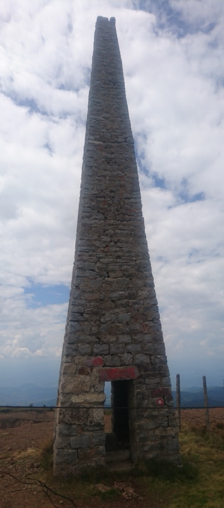
Pančić's Peak (Albanian: Maja Pançiq; Serbian: Панчићев врх, romanized: Pančićev vrh) is the highest point in the Kopaonik mountain range, which straddles northern Kosovo and southern Serbia. The peak is 2,017 m high, located in the Brus municipality in Serbia. The Serbia–Kosovo demarcation line lies some 50 m south of the summit. Pančić's Peak is part of the Suvo Rudište mountainous plateau and natural zone of the Kopaonik National Park. The Kopaonik tourist center operates cable cars to Pančić's Peak and Suvo Rudište Peak.
There's a trail leading to the summit.
By elevation Pančićev vrh is
# 1 out of 138 in Municipality of Leposavić / Leposaviq # 5 out of 6039 in Central Serbia # 5 out of 6337 in Serbia # 3 out of 582 in Raska Administrative District # 1 out of 267 in Rasina Administrative District # 1 out of 27 in Kopaonik National Park
By prominence Pančićev vrh is
# 1 out of 138 in Municipality of Leposavić / Leposaviq # 2 out of 6039 in Central Serbia # 2 out of 6337 in Serbia # 1 out of 1319 in Kosovo # 1 out of 582 in Raska Administrative District # 1 out of 267 in Rasina Administrative District # 1 out of 27 in Kopaonik National Park # 2 out of 28196 in the Dinaric Alps
We use GPS information embedded into the photo when it is available.
3D mountains overlay
Adjust mountain panorama to perfectly match your photos because recorded by camera photo position might be imprecise.
Move tool
Rotate tool
Zoom
More customization
Choose which peak labels should make into the final photo and what photo title should be.
Next
Photo Location
Satellitte
Flat map
Relief map
Latitude
Longitude
Altitude
OR
Latitude
°'''
Longitude
°'''
Apply
Register Peak
Peak Name
Latitude
Longitude
Altitude
Register
Teleport
PeakVisor
This 3D model of Sagarmatha National Park in Nepal was made using the PeakVisor app topographic data. The mobile app features higher precision models worldwide, more topographic details, and works offline. Download PeakVisor maps today.
Download OBJ model
PeakVisor
The download should start shortly. If you find it useful please consider supporting the PeakVisor app.
PeakVisor for iOS and Android
Be a superhero of outdoor navigation with state-of-the-art 3D maps and mountain identification in the palm of your hand!