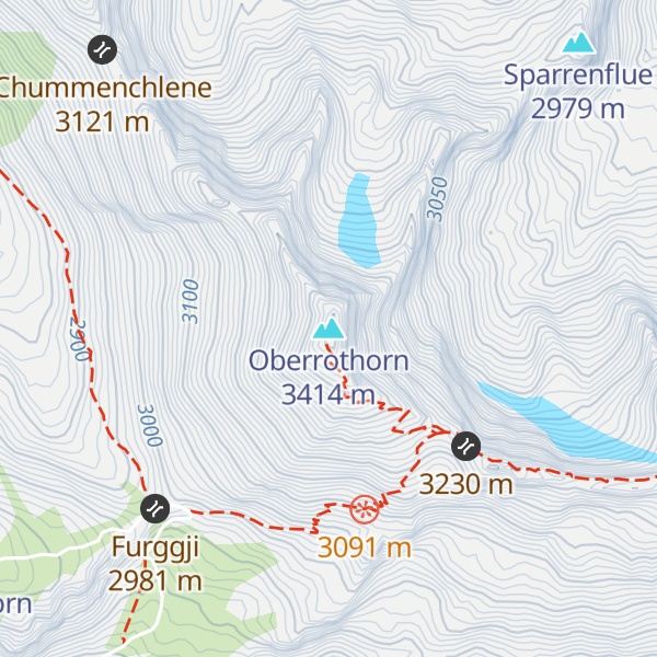
The Oberrothorn (3,414 m) is a mountain of the Swiss Pennine Alps, overlooking Zermatt in the canton of Valais. Its summit can be easily reached via a trail on its southern flank, from the Unterrothorn cable car station or from Sunnegga.
Claims are often made that the Oberrothorn has one of the highest hiking trails in the Alps, or that it's the highest Alpine summit which can be walked up. Such statements are subjective, but do reflect the mountain's unusual accessibility for an Alpine summit of its height.
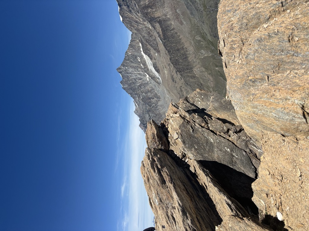
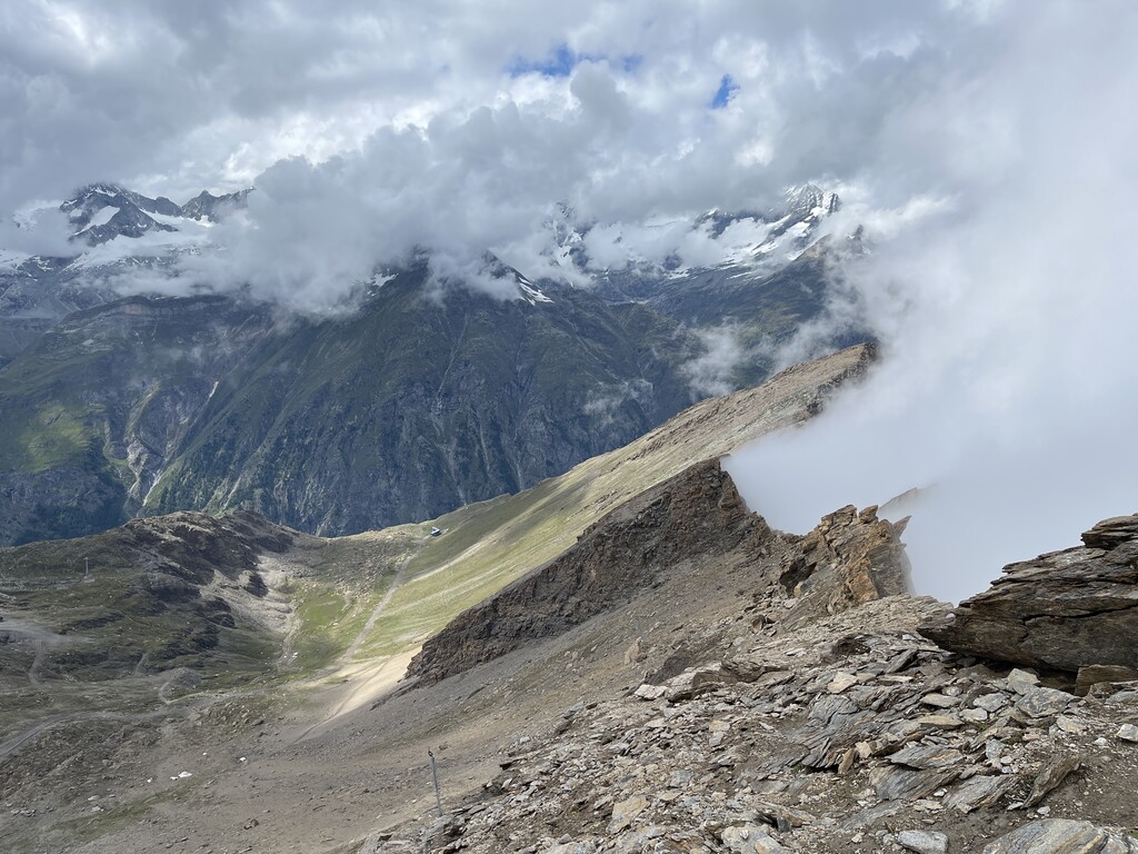
Due to its location to the east of Zermatt, hikers on the main route up and down the mountain are afforded excellent views of the Matterhorn, across the valley, with the popular Hornli Ridge ascent route being prominent.
There's a demading hiking trail (T3) leading to the summit.
The nearest mountain hut is Fluhalp located 1 647m/5 403ft S of the summit.
We use GPS information embedded into the photo when it is available.
3D mountains overlay
Adjust mountain panorama to perfectly match your photos because recorded by camera photo position might be imprecise.
Move tool
Rotate tool
Zoom
More customization
Choose which peak labels should make into the final photo and what photo title should be.
Next
Photo Location
Satellitte
Flat map
Relief map
Latitude
Longitude
Altitude
OR
Latitude
°'''
Longitude
°'''
Apply
Register Peak
Peak Name
Latitude
Longitude
Altitude
Register
Teleport
PeakVisor
This 3D model of Sagarmatha National Park in Nepal was made using the PeakVisor app topographic data. The mobile app features higher precision models worldwide, more topographic details, and works offline. Download PeakVisor maps today.
Download OBJ model
PeakVisor
The download should start shortly. If you find it useful please consider supporting the PeakVisor app.
PeakVisor for iOS and Android
Be a superhero of outdoor navigation with state-of-the-art 3D maps and mountain identification in the palm of your hand!