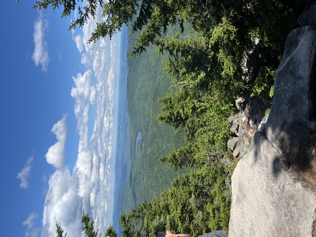
Mount Doublehead is a twin-peaked mountain in eastern New Hampshire, United States. It is located in the town of Jackson, Carroll County, in the eastern White Mountains. North Doublehead has an elevation of 3,053 feet (930.5 m) above sea level, while South Doublehead has an elevation of 2,939 ft (895.8 m).
Doublehead stands within the watershed of the Saco River, which drains into the Gulf of Maine. The eastern and southern slopes of Doublehead drain into the East Branch of the Saco River. The northwest side of Doublehead drains into Great Brook, thence into Wildcat Brook, the Ellis River, and into the Saco.
In 1934, the American composer Alan Hovhaness (1911–2000), who frequently climbed the White Mountains during his youth, wrote a composition for piano entitled Fog on Mount Double Head (Op. 1, no. 2).
South of the White Mountains, Doublehead Mountain (elevation 2,158 ft/657.8 m) is found in Sandwich, New Hampshire (also in Carroll County), in the Squam Mountains overlooking Squam Lake.
There's a trail called Old Path leading to the summit.
The nearest mountain hut is Doublehead Cabin located 27m/88ft ENE of the summit.
By elevation North Doublehead is
# 17 out of 229 in Carroll County
By prominence North Doublehead is
# 14 out of 229 in Carroll County # 35 out of 428 in White Mountain National Forest # 72 out of 1985 in New Hampshire # 60 out of 844 in the White Mountains (New Hampshire)
We use GPS information embedded into the photo when it is available.
3D mountains overlay
Adjust mountain panorama to perfectly match your photos because recorded by camera photo position might be imprecise.
Move tool
Rotate tool
Zoom
More customization
Choose which peak labels should make into the final photo and what photo title should be.
Next
Photo Location
Satellitte
Flat map
Relief map
Latitude
Longitude
Altitude
OR
Latitude
°'''
Longitude
°'''
Apply
Register Peak
Peak Name
Latitude
Longitude
Altitude
Register
Teleport
PeakVisor
This 3D model of Sagarmatha National Park in Nepal was made using the PeakVisor app topographic data. The mobile app features higher precision models worldwide, more topographic details, and works offline. Download PeakVisor maps today.
Download OBJ model
PeakVisor
The download should start shortly. If you find it useful please consider supporting the PeakVisor app.
PeakVisor for iOS and Android
Be a superhero of outdoor navigation with state-of-the-art 3D maps and mountain identification in the palm of your hand!