Nippletop is a mountain in the Colvin Range of the Adirondack Mountains in New York. With an elevation of 4,620 feet (1,410 m), it is the 13th highest peak in New York and one of the 46 Adirondack High Peaks. It is located near the southern border of the town of Keene in Essex County, in the High Peaks Wilderness Area of Adirondack Park.
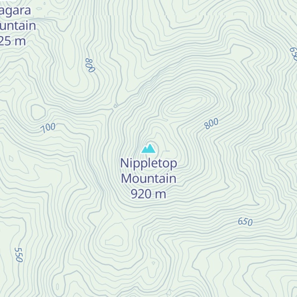
Nippletop Mountain, 2,953 feet (900 m) high, is a different mountain located 7 miles (11 km) away at 43°59.54′N 73°45.16′W.
The earliest recorded ascent of Nippletop occurred on August 31, 1837, when Ebenezer Emmons and a party of state scientists and guides climbed the mountain. Emmons gave the mountain the name "Dial", but locals referred to it as "Nippletop" after the shape of the summit. The name "Dial" was later reassigned to an adjacent mountain.
The peak can be hiked to by trail starting at the Ausable Club. The route to the summit is a distance of 6.6 miles (10.6 km) with an elevation gain of 2,760 feet (840 m). This hike can be combined with a climb of nearby Dial Mountain and Bear Den Mountain, forming a 14.0 miles (22.5 km) loop.
By elevation Nippletop Mountain is
# 90 out of 126 in High Peaks Wilderness # 11 out of 24 in the Dix Range
By prominence Nippletop Mountain is
# 43 out of 126 in High Peaks Wilderness # 7 out of 24 in the Dix Range
We use GPS information embedded into the photo when it is available.
3D mountains overlay
Adjust mountain panorama to perfectly match your photos because recorded by camera photo position might be imprecise.
Move tool
Rotate tool
Zoom
More customization
Choose which peak labels should make into the final photo and what photo title should be.
Next
Photo Location
Satellitte
Flat map
Relief map
Latitude
Longitude
Altitude
OR
Latitude
°'''
Longitude
°'''
Apply
Register Peak
Peak Name
Latitude
Longitude
Altitude
Register
Teleport
PeakVisor
This 3D model of Sagarmatha National Park in Nepal was made using the PeakVisor app topographic data. The mobile app features higher precision models worldwide, more topographic details, and works offline. Download PeakVisor maps today.
Download OBJ model
PeakVisor
The download should start shortly. If you find it useful please consider supporting the PeakVisor app.
PeakVisor for iOS and Android
Be a superhero of outdoor navigation with state-of-the-art 3D maps and mountain identification in the palm of your hand!