Mount Watatic is a 1,832-foot (558 m) monadnock located just south of the Massachusetts–New Hampshire border, in the United States, at the southern end of the Wapack Range. It lies in Ashburnham, Massachusetts and Ashby, Massachusetts. The 22-mile (35 km) Wapack Trail and the 92-mile (148 km) Midstate Trail both cross the mountain.
The name is probably a corruption of the Native American term Wetu-tick, "wigwam brook", and probably applied first to the nearby large stream and thereafter to the mountain and the pond.
The east and south side of the mountain drains into the Souhegan River watershed, to the Merrimack River thence the Atlantic Ocean; the west and north sides drain into the Millers River watershed, to the Connecticut River, thence into Long Island Sound.
Mount Watatic was the site of a ski area that operated from the 1930s until 1984. An attempt to reopen the ski area in 1988 failed.
Mount Watatic was also once home to state fire tower #31 that looked out over central Massachusetts, until its removal in 1996. Phone lines to the tower ran up the Ashby and Ashburnham sides of the mountain over the years.
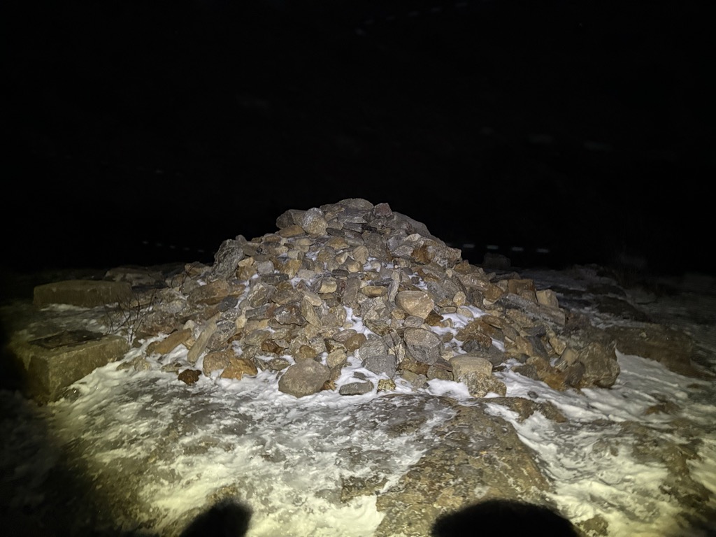
There's a trail leading to the summit.
By elevation Mount Watatic is
# 1 out of 2 in Mount Watatic Reservation # 1 out of 2 in Watatic Mountain Wildlife Sanctuary # 2 out of 466 in Worcester County
By prominence Mount Watatic is
# 1 out of 2 in Mount Watatic Reservation # 1 out of 2 in Watatic Mountain Wildlife Sanctuary # 5 out of 466 in Worcester County # 35 out of 2241 in Massachusetts
We use GPS information embedded into the photo when it is available.
3D mountains overlay
Adjust mountain panorama to perfectly match your photos because recorded by camera photo position might be imprecise.
Move tool
Rotate tool
Zoom
More customization
Choose which peak labels should make into the final photo and what photo title should be.
Next
Photo Location
Satellitte
Flat map
Relief map
Latitude
Longitude
Altitude
OR
Latitude
°'''
Longitude
°'''
Apply
Register Peak
Peak Name
Latitude
Longitude
Altitude
Register
Teleport
PeakVisor
This 3D model of Sagarmatha National Park in Nepal was made using the PeakVisor app topographic data. The mobile app features higher precision models worldwide, more topographic details, and works offline. Download PeakVisor maps today.
Download OBJ model
PeakVisor
The download should start shortly. If you find it useful please consider supporting the PeakVisor app.
PeakVisor for iOS and Android
Be a superhero of outdoor navigation with state-of-the-art 3D maps and mountain identification in the palm of your hand!