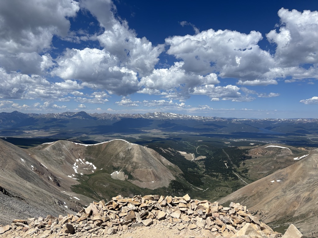
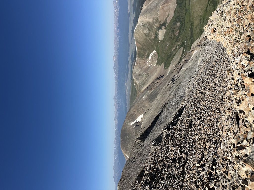
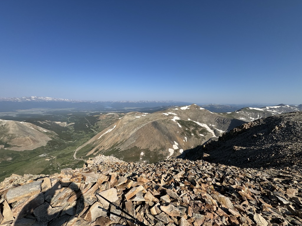
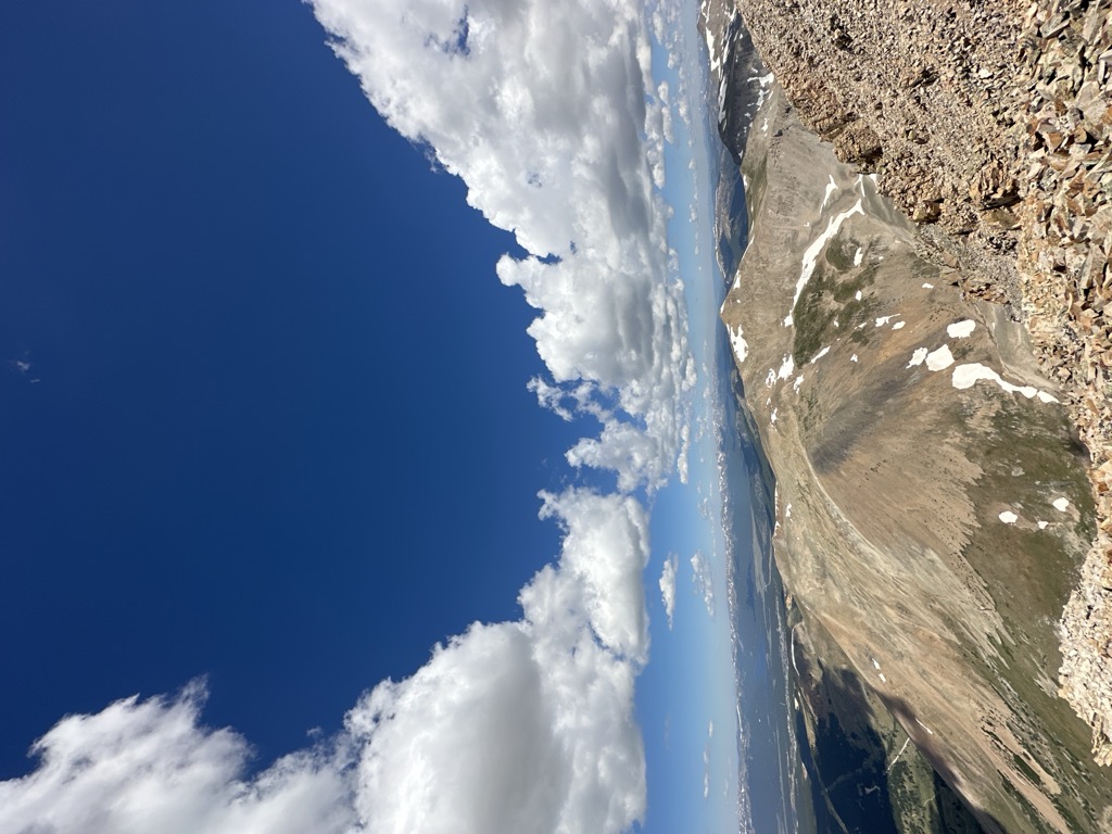
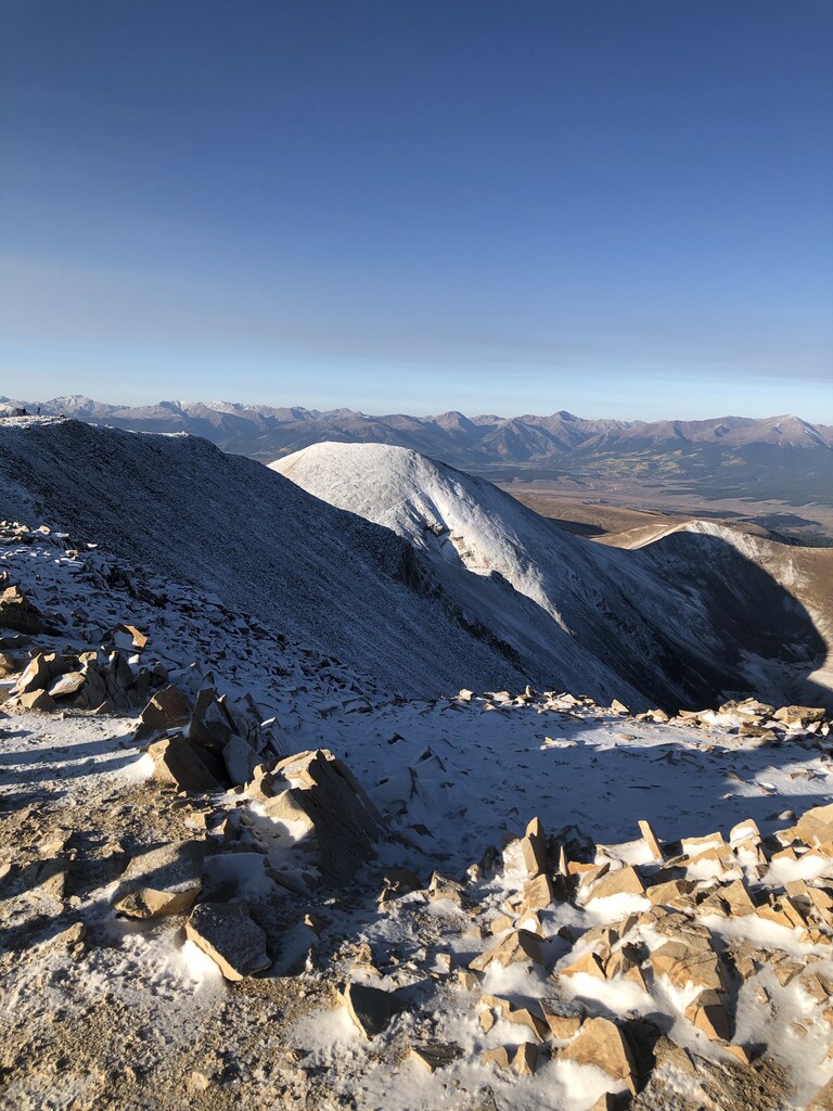
Mount Sherman is a high mountain summit in the Mosquito Range of the Rocky Mountains of North America. The 14,043-foot (4,280 m) fourteener is located 6.8 miles (11.0 km) east by south (bearing 103°) of the City of Leadville, Colorado, United States, on the drainage divide separating Lake County from Park County. The mountain was named in honor of General William Tecumseh Sherman.
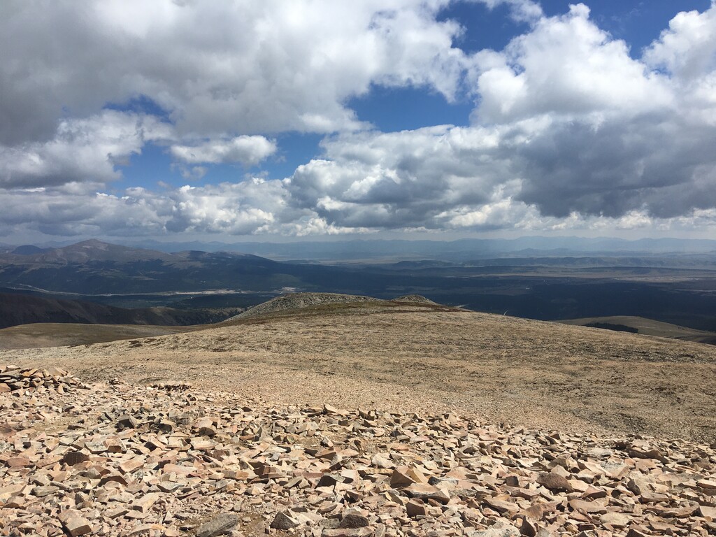
There's an alpine trail (T4) called Mount Sherman - Southwest Ridge from Fourmile Creek leading to the summit.
By elevation Mount Sherman is
# 6 out of 92 in the Mosquito Range # 4 out of 69 in Lake County # 93 out of 91437 in USA # 48 out of 4045 in Colorado # 5 out of 136 in Park County # 48 out of 4253 in the Southern Rocky Mountains
By prominence Mount Sherman is
# 6 out of 92 in the Mosquito Range # 9 out of 69 in Lake County # 26 out of 136 in Park County
We use GPS information embedded into the photo when it is available.
3D mountains overlay
Adjust mountain panorama to perfectly match your photos because recorded by camera photo position might be imprecise.
Move tool
Rotate tool
Zoom
More customization
Choose which peak labels should make into the final photo and what photo title should be.
Next
Photo Location
Satellitte
Flat map
Relief map
Latitude
Longitude
Altitude
OR
Latitude
°'''
Longitude
°'''
Apply
Register Peak
Peak Name
Latitude
Longitude
Altitude
Register
Teleport
PeakVisor
This 3D model of Sagarmatha National Park in Nepal was made using the PeakVisor app topographic data. The mobile app features higher precision models worldwide, more topographic details, and works offline. Download PeakVisor maps today.
Download OBJ model
PeakVisor
The download should start shortly. If you find it useful please consider supporting the PeakVisor app.
PeakVisor for iOS and Android
Be a superhero of outdoor navigation with state-of-the-art 3D maps and mountain identification in the palm of your hand!