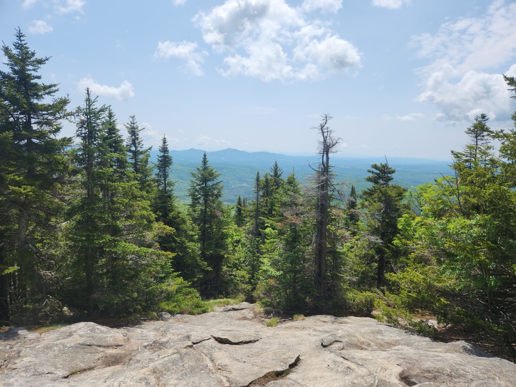
Mount Pisgah is a mountain in Westmore, Vermont. It is located on the east side of Lake Willoughby and constitutes the eastern side of "Willoughby Gap" ("Willoughby Notch"). It is part of the Northeastern Highlands of Vermont. There are hiking trails in Willoughby State Forest.
The cliffs contain alpine plants protected because no trails lead to or through them.
There's a trail called North Trail leading to the summit.
By elevation Mount Pisgah is
# 1 out of 1 in Willoughby State Forest # 16 out of 91 in Orleans County # 30 out of 5872 in the New England Upland
By prominence Mount Pisgah is
# 1 out of 1 in Willoughby State Forest # 13 out of 91 in Orleans County
We use GPS information embedded into the photo when it is available.
3D mountains overlay
Adjust mountain panorama to perfectly match your photos because recorded by camera photo position might be imprecise.
Move tool
Rotate tool
Zoom
More customization
Choose which peak labels should make into the final photo and what photo title should be.
Next
Photo Location
Satellitte
Flat map
Relief map
Latitude
Longitude
Altitude
OR
Latitude
°'''
Longitude
°'''
Apply
Register Peak
Peak Name
Latitude
Longitude
Altitude
Register
Teleport
PeakVisor
This 3D model of Sagarmatha National Park in Nepal was made using the PeakVisor app topographic data. The mobile app features higher precision models worldwide, more topographic details, and works offline. Download PeakVisor maps today.
Download OBJ model
PeakVisor
The download should start shortly. If you find it useful please consider supporting the PeakVisor app.
PeakVisor for iOS and Android
Be a superhero of outdoor navigation with state-of-the-art 3D maps and mountain identification in the palm of your hand!