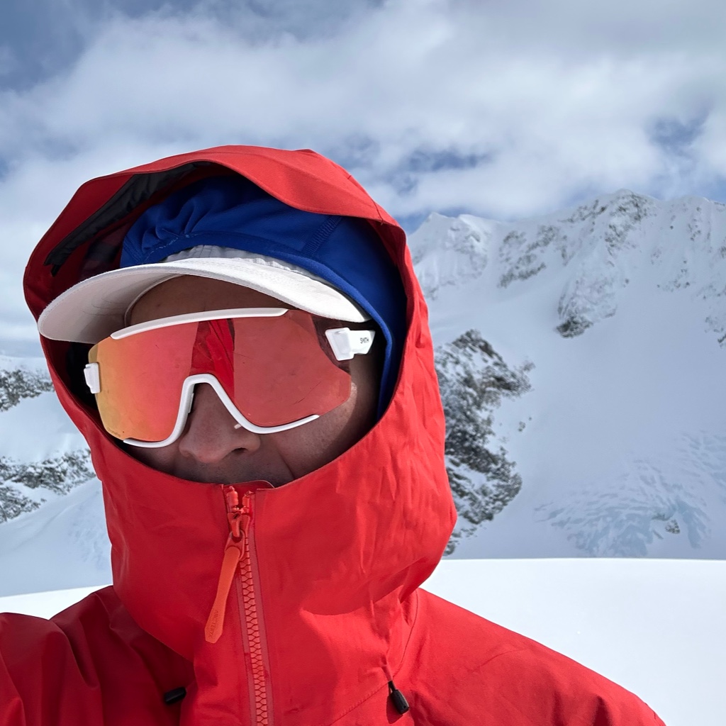
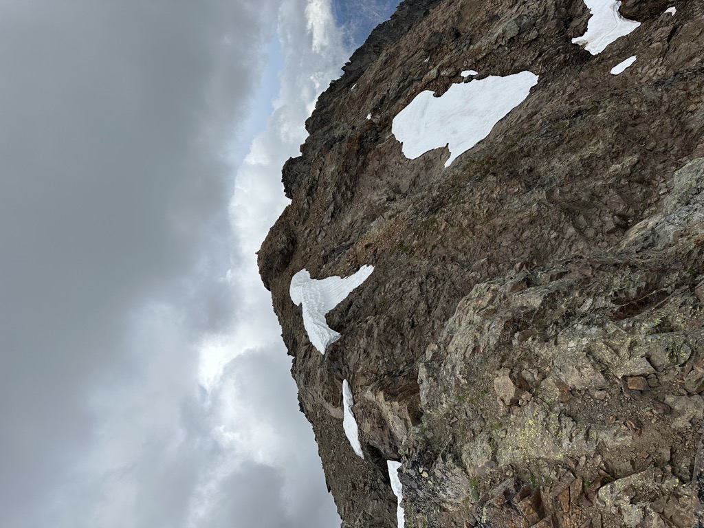
Mount Outram is a prominent 2,461-metre (8,074-foot) mountain summit located in the Canadian Cascades of southwestern British Columbia, Canada. It is the fourth-highest summit in the Hozameen Range, and highest point of the Manson Ridge subrange. It is situated 23 km (14 mi) southeast of Hope, and 14.5 km (9 mi) north-northeast of Silvertip Mountain, its nearest higher peak. Precipitation runoff from the peak drains into tributaries of the Coquihalla and Skagit Rivers. The mountain was known as Beaver Mountain as early as 1930 before being named for Sir James Outram, 1st Baronet, and being officially adopted October 6, 1936, by the Geographical Names Board of Canada. The first ascent of the mountain was made August 12, 1924, by Fred Perry, Herbert Selwood, Leslie Ford, and T.L. Thacker.
There's a hiking trail (T2) called Mount Outram Trail leading to the summit.
By elevation Mount Outram is
# 28 out of 370 in Fraser Valley Regional District # 3 out of 95 in the Hozameen Range
By prominence Mount Outram is
# 23 out of 4345 in the Cascade Range # 9 out of 370 in Fraser Valley Regional District # 2 out of 95 in the Hozameen Range
We use GPS information embedded into the photo when it is available.
3D mountains overlay
Adjust mountain panorama to perfectly match your photos because recorded by camera photo position might be imprecise.
Move tool
Rotate tool
Zoom
More customization
Choose which peak labels should make into the final photo and what photo title should be.
Next
Photo Location
Satellitte
Flat map
Relief map
Latitude
Longitude
Altitude
OR
Latitude
°'''
Longitude
°'''
Apply
Register Peak
Peak Name
Latitude
Longitude
Altitude
Register
Teleport
PeakVisor
This 3D model of Sagarmatha National Park in Nepal was made using the PeakVisor app topographic data. The mobile app features higher precision models worldwide, more topographic details, and works offline. Download PeakVisor maps today.
Download OBJ model
PeakVisor
The download should start shortly. If you find it useful please consider supporting the PeakVisor app.
PeakVisor for iOS and Android
Be a superhero of outdoor navigation with state-of-the-art 3D maps and mountain identification in the palm of your hand!