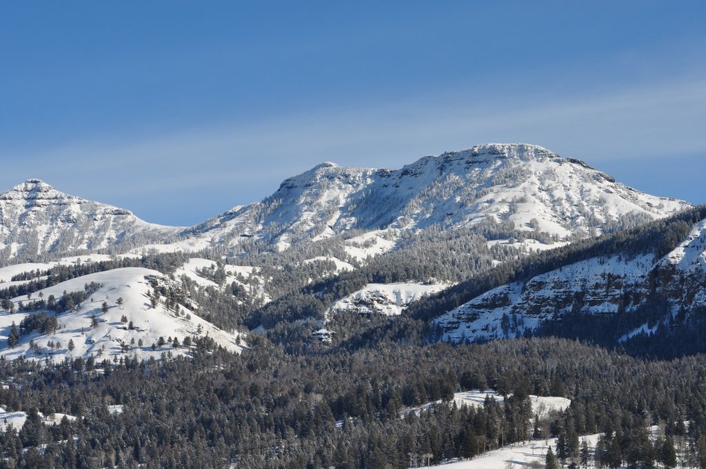
Mount Norris, elevation 9,842 feet (3,000 m), is a mountain peak in the northeast section of Yellowstone National Park in the Absaroka Range of the U.S. state of Wyoming. In 1875, the peak was named for and by Philetus Norris, the park's second superintendent from 1877 to 1882. While on a visit to the park, Norris and several mountain guides, including Collins Jack "Yellowstone Jack" Baronette, ascended the peak at the head of the Lamar Valley and presumed they were the first white men to do so, thus naming it Mount Norris.
We use GPS information embedded into the photo when it is available.
3D mountains overlay
Adjust mountain panorama to perfectly match your photos because recorded by camera photo position might be imprecise.
Move tool
Rotate tool
Zoom
More customization
Choose which peak labels should make into the final photo and what photo title should be.
Next
Photo Location
Satellitte
Flat map
Relief map
Latitude
Longitude
Altitude
OR
Latitude
°'''
Longitude
°'''
Apply
Register Peak
Peak Name
Latitude
Longitude
Altitude
Register
Teleport
PeakVisor
This 3D model of Sagarmatha National Park in Nepal was made using the PeakVisor app topographic data. The mobile app features higher precision models worldwide, more topographic details, and works offline. Download PeakVisor maps today.
Download OBJ model
PeakVisor
The download should start shortly. If you find it useful please consider supporting the PeakVisor app.
PeakVisor for iOS and Android
Be a superhero of outdoor navigation with state-of-the-art 3D maps and mountain identification in the palm of your hand!


.jpg)


