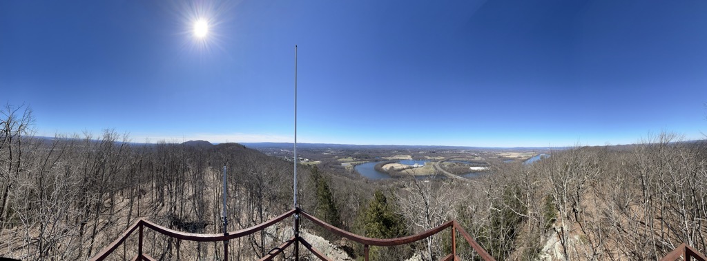
Mount Nonotuck, 827 feet (252 m), is the northernmost peak of the Mount Tom Range of traprock mountains located in the Connecticut River Valley of Massachusetts and part of the larger Metacomet Ridge which stretches from Long Island Sound to nearly the Vermont border. Rugged and considered scenic, the peak rises steeply from the river valley 700 feet (210 m) below. It is located within the town of Holyoke.
The 110-mile (180 km) Metacomet-Monadnock Trail, maintained by the Berkshire Chapter of the Appalachian Mountain Club, crosses Mt. Nonotuck, and a seasonal auto road (closed to vehicles indefinitely due to deteriorating conditions, hikers still welcome) climbs to a small parking lot just beneath the summit. During the winter, the auto road is often used for cross country skiing.
There's a trail leading to the summit.
By elevation Mount Nonotuck is
# 96 out of 137 in Hampshire County # 29 out of 176 in the Metacomet Ridge
By prominence Mount Nonotuck is
# 71 out of 144 in Hampden County # 58 out of 137 in Hampshire County # 65 out of 176 in the Metacomet Ridge
We use GPS information embedded into the photo when it is available.
3D mountains overlay
Adjust mountain panorama to perfectly match your photos because recorded by camera photo position might be imprecise.
Move tool
Rotate tool
Zoom
More customization
Choose which peak labels should make into the final photo and what photo title should be.
Next
Photo Location
Satellitte
Flat map
Relief map
Latitude
Longitude
Altitude
OR
Latitude
°'''
Longitude
°'''
Apply
Register Peak
Peak Name
Latitude
Longitude
Altitude
Register
Teleport
PeakVisor
This 3D model of Sagarmatha National Park in Nepal was made using the PeakVisor app topographic data. The mobile app features higher precision models worldwide, more topographic details, and works offline. Download PeakVisor maps today.
Download OBJ model
PeakVisor
The download should start shortly. If you find it useful please consider supporting the PeakVisor app.
PeakVisor for iOS and Android
Be a superhero of outdoor navigation with state-of-the-art 3D maps and mountain identification in the palm of your hand!