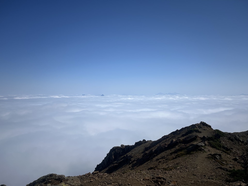
Mount MacFarlane is a 2,090-metre (6,860-foot) mountain summit located in the Cascade Mountains of southwestern British Columbia, Canada. It is situated 6 km (4 mi) north of the Canada–United States border, 3.65 km (2 mi) northwest of Slesse Mountain, and 1.4 km (1 mi) northwest of Crossover Peak, which is its nearest higher peak. Precipitation runoff from the peak drains into Slesse Creek and Pierce Creek, both tributaries of the Chilliwack River. The mountain was named to honor Royal Canadian Air Force First Lieutenant Ronald E. MacFarlane, from nearby Chilliwack, who was killed in action on December 16, 1943, at age 21. The name was officially adopted on April 7, 1955, by the Geographical Names Board of Canada.
There's a trail called Mount Macfarlane Trail leading to the summit.
We use GPS information embedded into the photo when it is available.
3D mountains overlay
Adjust mountain panorama to perfectly match your photos because recorded by camera photo position might be imprecise.
Move tool
Rotate tool
Zoom
More customization
Choose which peak labels should make into the final photo and what photo title should be.
Next
Photo Location
Satellitte
Flat map
Relief map
Latitude
Longitude
Altitude
OR
Latitude
°'''
Longitude
°'''
Apply
Register Peak
Peak Name
Latitude
Longitude
Altitude
Register
Teleport
PeakVisor
This 3D model of Sagarmatha National Park in Nepal was made using the PeakVisor app topographic data. The mobile app features higher precision models worldwide, more topographic details, and works offline. Download PeakVisor maps today.
Download OBJ model
PeakVisor
The download should start shortly. If you find it useful please consider supporting the PeakVisor app.
PeakVisor for iOS and Android
Be a superhero of outdoor navigation with state-of-the-art 3D maps and mountain identification in the palm of your hand!