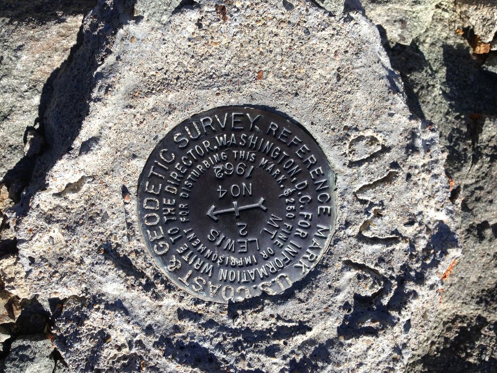
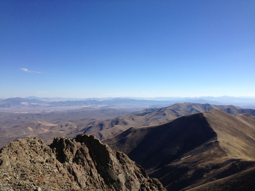
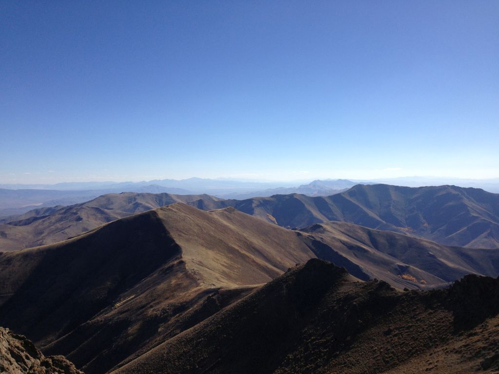
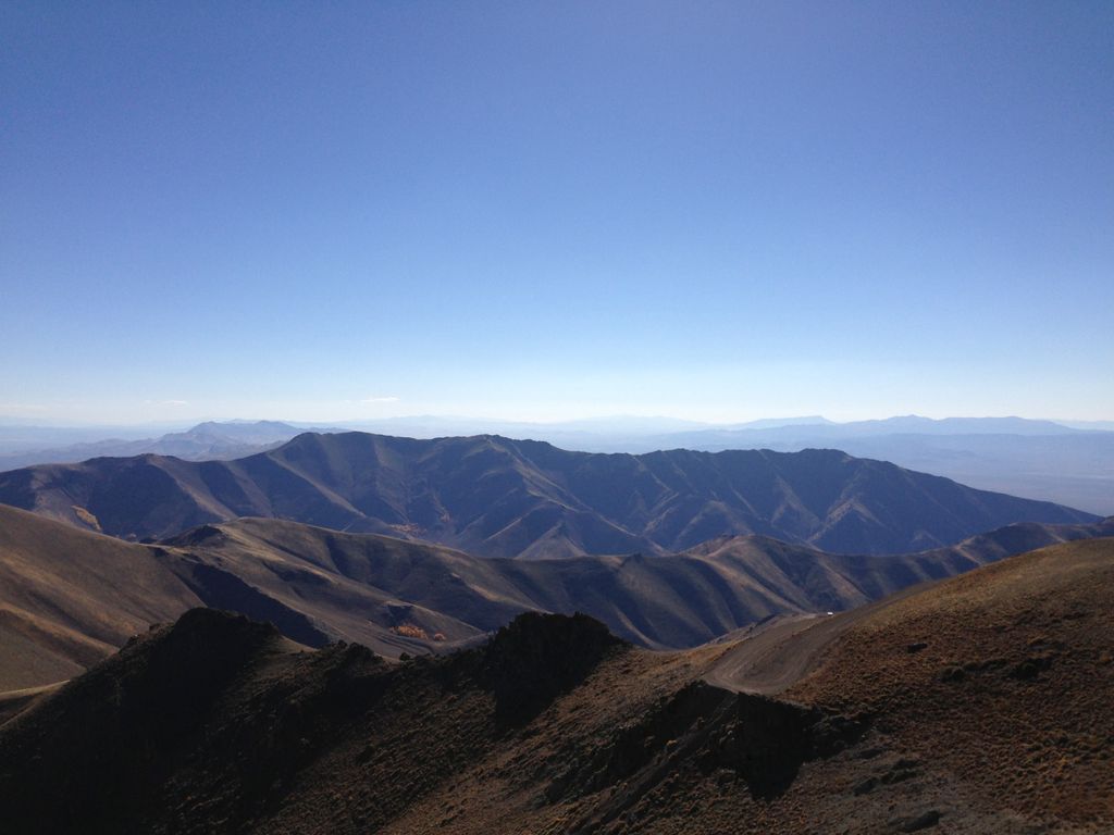
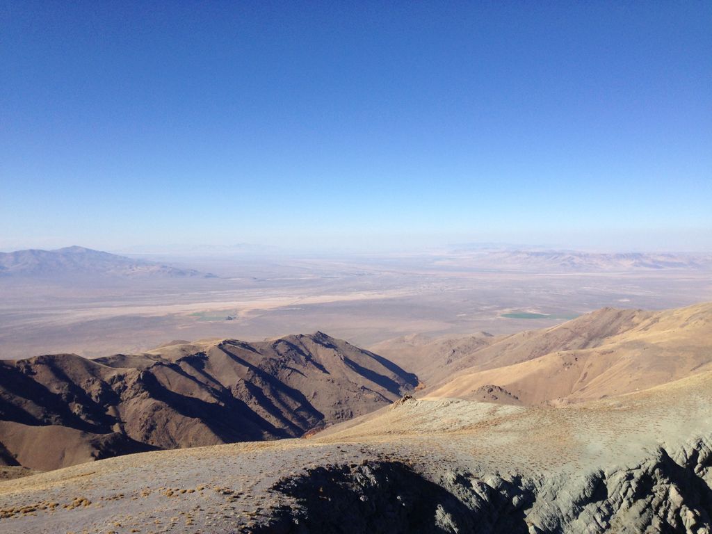
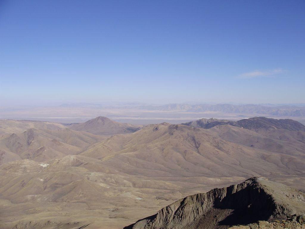
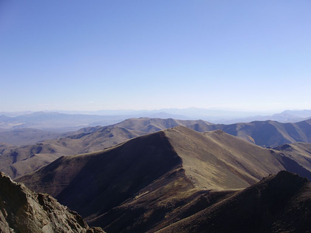
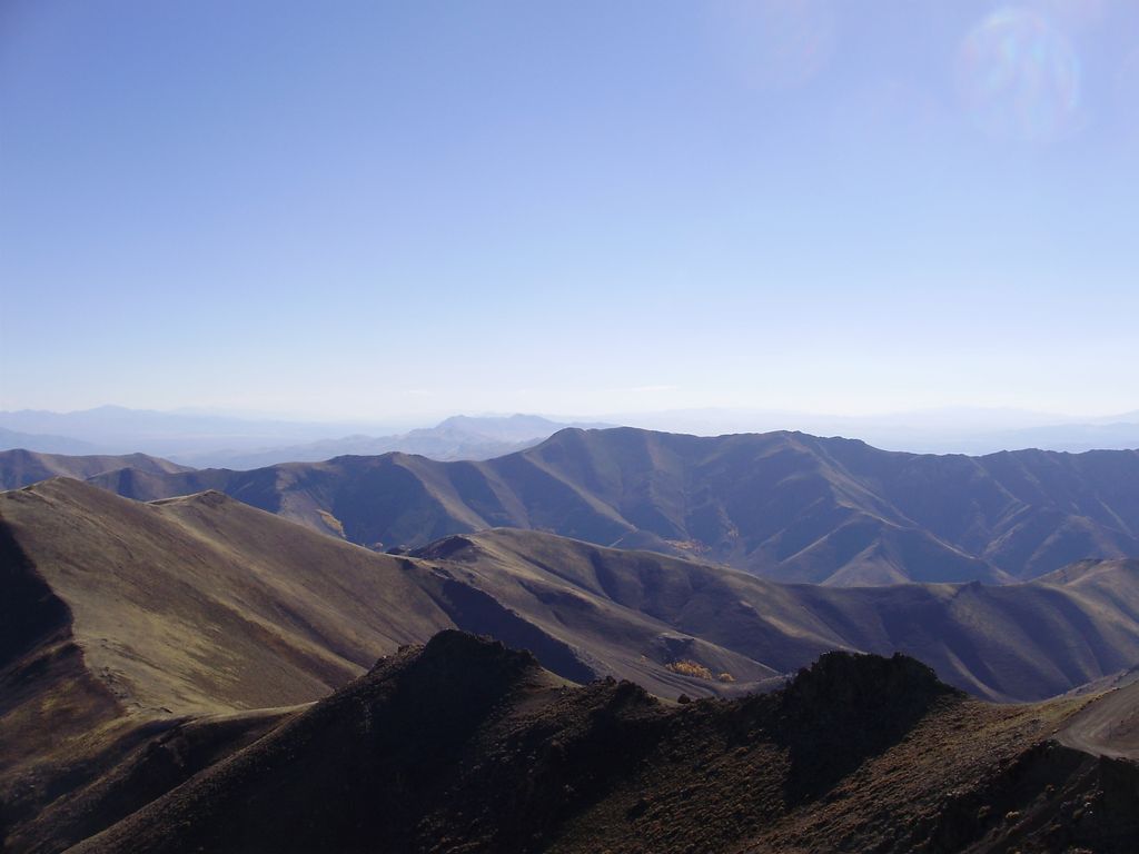
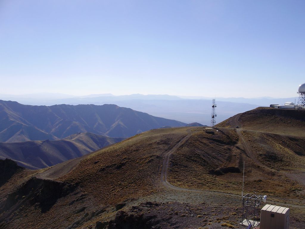
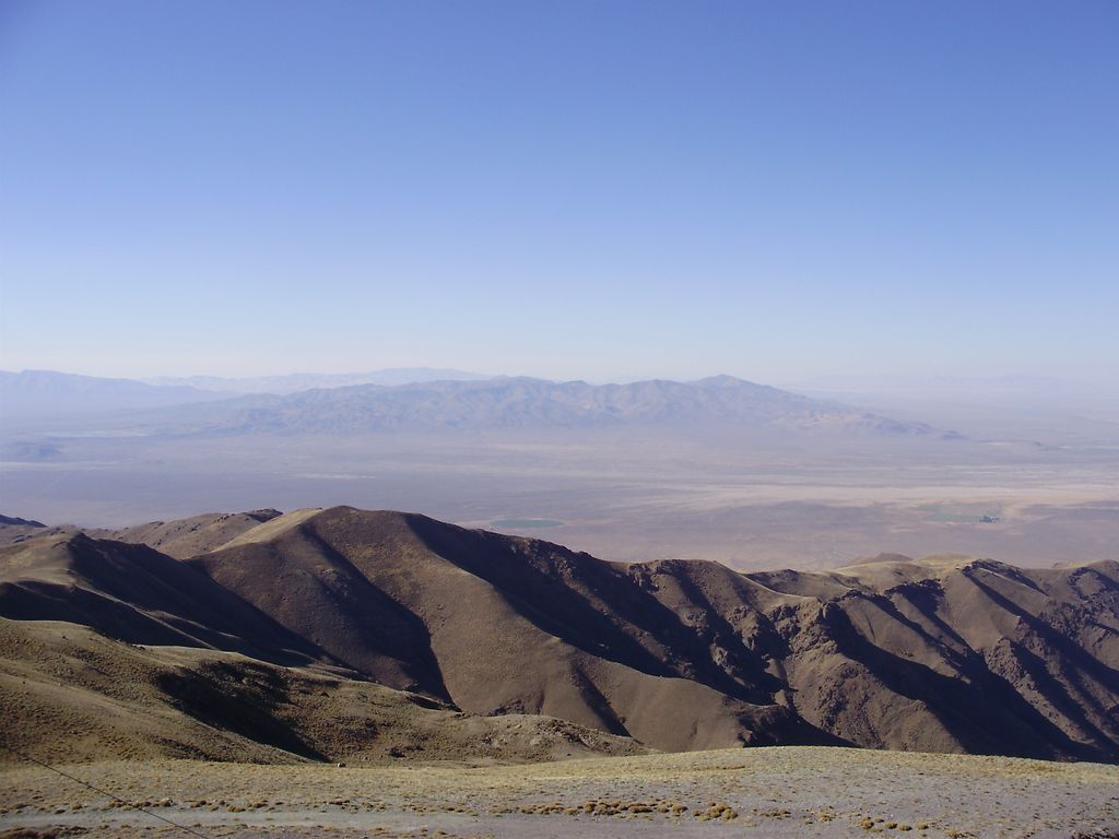
Mount Lewis is the highest peak in the Shoshone Range in Lander County, Nevada, United States. It is the most topographically prominent peak in Lander County and the twentieth-most prominent peak in Nevada. The peak is located about 14 miles (23 km) southeast of the town of Battle Mountain. A Federal Aviation Administration Long Range Air Route Surveillance Radar station is located just west of the summit. The peak is on public land administered by the Bureau of Land Management and thus has no access restrictions.
By elevation Mount Lewis is
# 8 out of 79 in Lander County # 3 out of 33 in the Shoshone Mountains
By prominence Mount Lewis is
# 20 out of 2093 in Nevada # 1 out of 79 in Lander County # 30 out of 4328 in the Great Basin Ranges # 1 out of 33 in the Shoshone Mountains
We use GPS information embedded into the photo when it is available.
3D mountains overlay
Adjust mountain panorama to perfectly match your photos because recorded by camera photo position might be imprecise.
Move tool
Rotate tool
Zoom
More customization
Choose which peak labels should make into the final photo and what photo title should be.
Next
Photo Location
Satellitte
Flat map
Relief map
Latitude
Longitude
Altitude
OR
Latitude
°'''
Longitude
°'''
Apply
Register Peak
Peak Name
Latitude
Longitude
Altitude
Register
Teleport
PeakVisor
This 3D model of Sagarmatha National Park in Nepal was made using the PeakVisor app topographic data. The mobile app features higher precision models worldwide, more topographic details, and works offline. Download PeakVisor maps today.
Download OBJ model
PeakVisor
The download should start shortly. If you find it useful please consider supporting the PeakVisor app.
PeakVisor for iOS and Android
Be a superhero of outdoor navigation with state-of-the-art 3D maps and mountain identification in the palm of your hand!