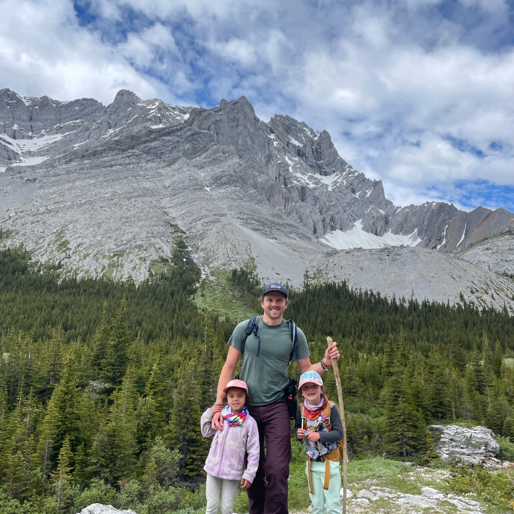
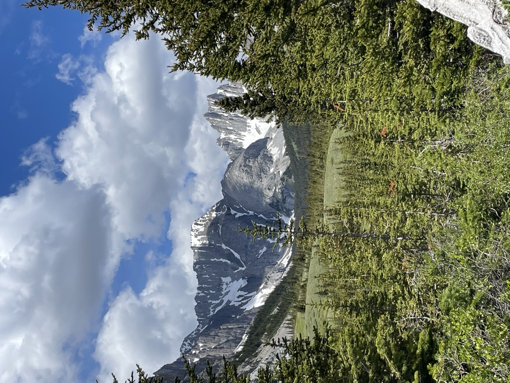
Mount Jerram is a 2,996-metre (9,829-foot) mountain summit located in the Opal Range of the Canadian Rockies of Alberta, Canada. Its nearest higher peak is Elpoca Mountain, 4.0 km (2.5 mi) to the south-southeast. Mount Jerram is situated east of Mount Wintour, within Peter Lougheed Provincial Park.
Like so many of the mountains in Kananaskis Country, Mount Jerram received its name from the persons and ships involved in the 1916 Battle of Jutland, the only major sea battle of the First World War.
By elevation Mount Jerram is
# 10 out of 88 in Elbow-Sheep Wildland Provincial Park # 28 out of 91 in Peter Lougheed Provincial Park # 43 out of 370 in Kananaskis Improvement District # 5 out of 33 in the Opal Range
By prominence Mount Jerram is
# 18 out of 88 in Elbow-Sheep Wildland Provincial Park # 21 out of 91 in Peter Lougheed Provincial Park # 67 out of 370 in Kananaskis Improvement District # 8 out of 33 in the Opal Range
We use GPS information embedded into the photo when it is available.
3D mountains overlay
Adjust mountain panorama to perfectly match your photos because recorded by camera photo position might be imprecise.
Move tool
Rotate tool
Zoom
More customization
Choose which peak labels should make into the final photo and what photo title should be.
Next
Photo Location
Satellitte
Flat map
Relief map
Latitude
Longitude
Altitude
OR
Latitude
°'''
Longitude
°'''
Apply
Register Peak
Peak Name
Latitude
Longitude
Altitude
Register
Teleport
PeakVisor
This 3D model of Sagarmatha National Park in Nepal was made using the PeakVisor app topographic data. The mobile app features higher precision models worldwide, more topographic details, and works offline. Download PeakVisor maps today.
Download OBJ model
PeakVisor
The download should start shortly. If you find it useful please consider supporting the PeakVisor app.
PeakVisor for iOS and Android
Be a superhero of outdoor navigation with state-of-the-art 3D maps and mountain identification in the palm of your hand!