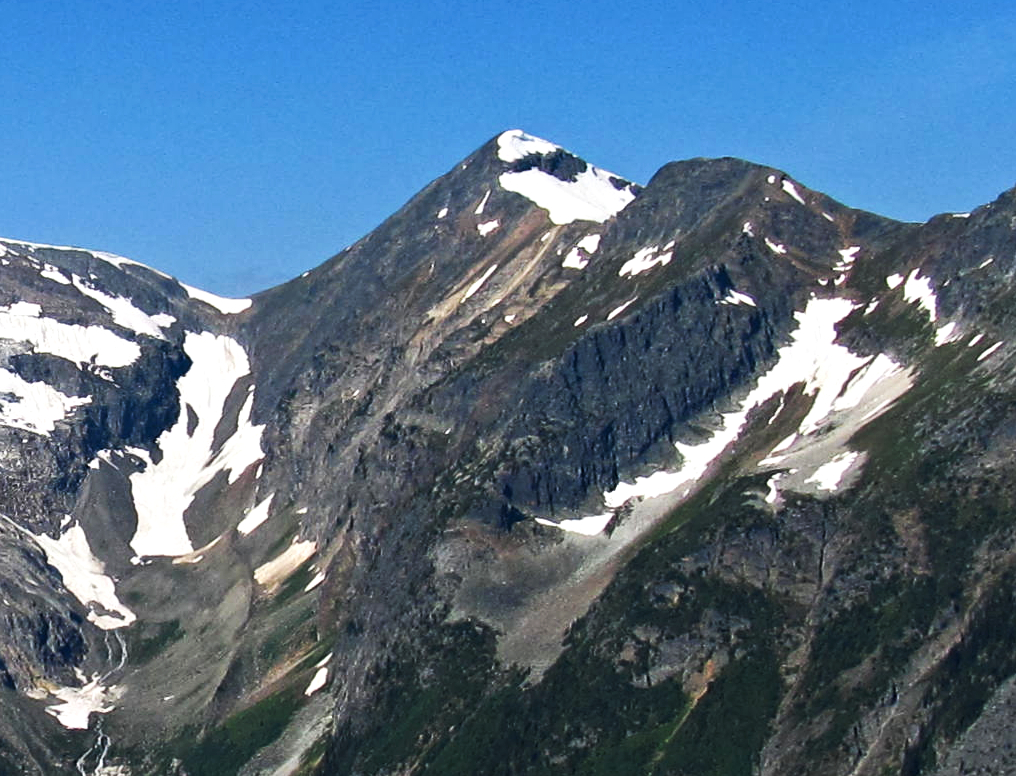
Mount Green is a 2,692-metre (8,832-foot) mountain summit located in Glacier National Park, in the Selkirk Mountains of British Columbia, Canada. It is situated 4 km (2.5 mi) north-northwest of Mount Bonney, 10 km (6.2 mi) southwest of Rogers Pass, 52 km (32 mi) northeast of Revelstoke, and 44 km (27 mi) west of Golden. The mountain was named by Arthur Oliver Wheeler for Rev. William Spotswood Green (1847–1919), who explored, mapped, named, climbed, and wrote about the Selkirk Mountains. His book "Among the Selkirk Glaciers", published in 1890, introduced the world to the Selkirk Mountains. He is credited with recommending the location for a small chalet to the Canadian Pacific Railway that would grow to become the Chateau Lake Louise hotel, as well as making the first ascent of Mount Bonney. The mountain's name was officially adopted September 8, 1932, when approved by the Geographical Names Board of Canada. The first ascent of the mountain was made August 25, 1910, by Alexander A. McCoubrey and Ernest Feuz who climbed the south ridge and descended the north ridge.
We use GPS information embedded into the photo when it is available.
3D mountains overlay
Adjust mountain panorama to perfectly match your photos because recorded by camera photo position might be imprecise.
Move tool
Rotate tool
Zoom
More customization
Choose which peak labels should make into the final photo and what photo title should be.
Next
Photo Location
Satellitte
Flat map
Relief map
Latitude
Longitude
Altitude
OR
Latitude
°'''
Longitude
°'''
Apply
Register Peak
Peak Name
Latitude
Longitude
Altitude
Register
Teleport
PeakVisor
This 3D model of Sagarmatha National Park in Nepal was made using the PeakVisor app topographic data. The mobile app features higher precision models worldwide, more topographic details, and works offline. Download PeakVisor maps today.
Download OBJ model
PeakVisor
The download should start shortly. If you find it useful please consider supporting the PeakVisor app.
PeakVisor for iOS and Android
Be a superhero of outdoor navigation with state-of-the-art 3D maps and mountain identification in the palm of your hand!