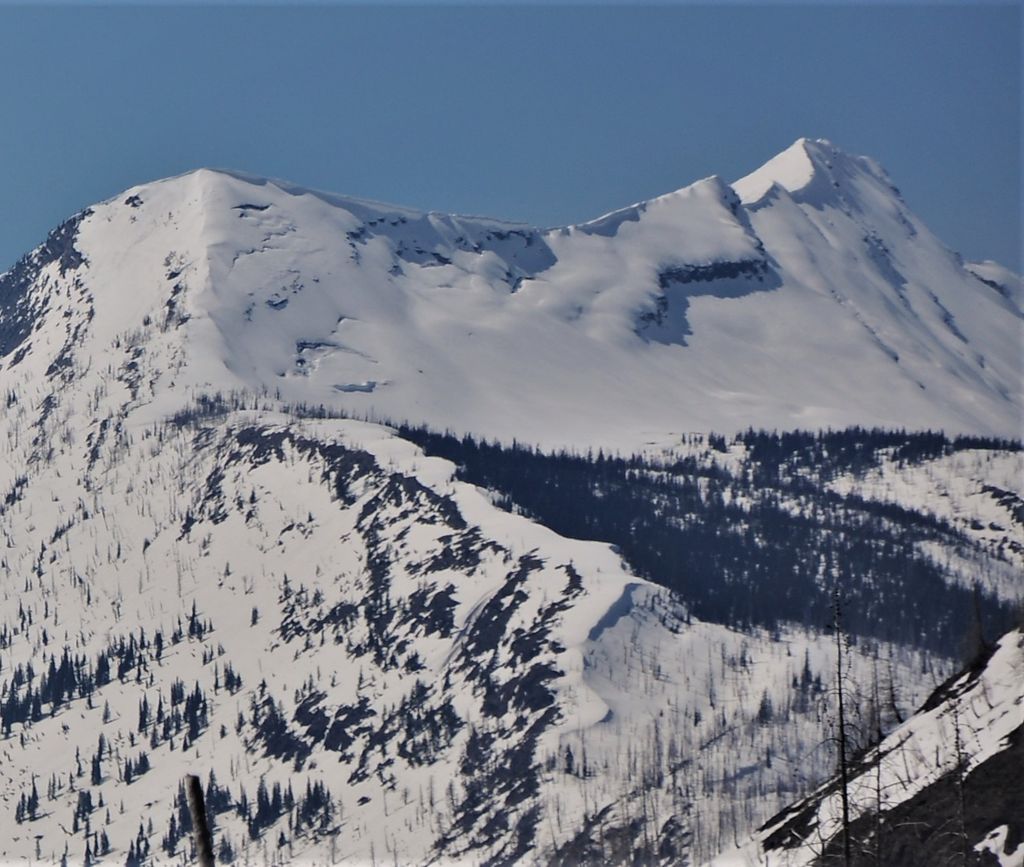
At an elevation of 2,552 m (8,373 ft.), and with a prominence of 421 m (1,381 ft.), Mount Geduhn is a mountain situated in the Livingston Range, which is a mountain range located in the Glacier National Park in the state of Montana, United States.
Mount Geduhn’s rainfall drains into three drainage basins, namely the Pend Oreille, Columbia and lastly, the Pacific Ocean.
By elevation Mount Geduhn is
# 77 out of 382 in Flathead County # 25 out of 55 in the Livingston Range
By prominence Mount Geduhn is
# 71 out of 382 in Flathead County # 53 out of 252 in Glacier National Park # 13 out of 55 in the Livingston Range
We use GPS information embedded into the photo when it is available.
3D mountains overlay
Adjust mountain panorama to perfectly match your photos because recorded by camera photo position might be imprecise.
Move tool
Rotate tool
Zoom
More customization
Choose which peak labels should make into the final photo and what photo title should be.
Next
Photo Location
Satellitte
Flat map
Relief map
Latitude
Longitude
Altitude
OR
Latitude
°'''
Longitude
°'''
Apply
Register Peak
Peak Name
Latitude
Longitude
Altitude
Register
Teleport
PeakVisor
This 3D model of Sagarmatha National Park in Nepal was made using the PeakVisor app topographic data. The mobile app features higher precision models worldwide, more topographic details, and works offline. Download PeakVisor maps today.
Download OBJ model
PeakVisor
The download should start shortly. If you find it useful please consider supporting the PeakVisor app.
PeakVisor for iOS and Android
Be a superhero of outdoor navigation with state-of-the-art 3D maps and mountain identification in the palm of your hand!