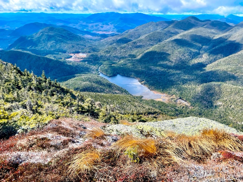
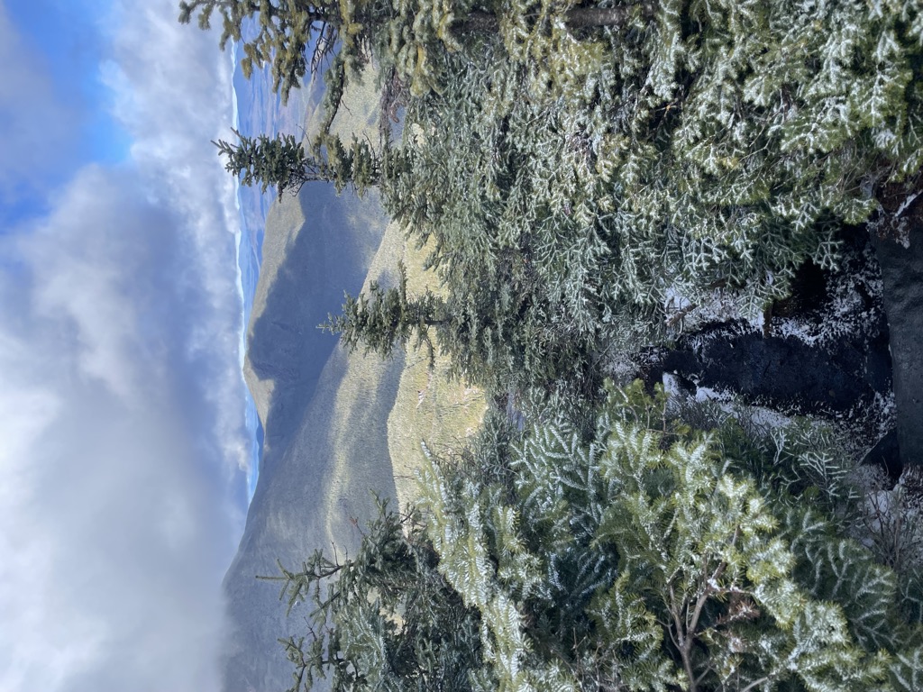
Mount Colden is a mountain in the Adirondacks in the U.S. state of New York. It is the eleventh-highest peak in New York, with an elevation of 4,714 feet (1,437 m), and one of the 46 High Peaks in Adirondack Park. It is located in the town of Keene in Essex County. The peak is named after David C. Colden, an investor in the McIntyre Iron Works at Tahawus. The mountain is known for the Trap Dike on its west face, which forms a large crevice running up the mountain that can be clearly seen from Avalanche Lake. The summit of the mountain can be reached by two hiking trails, which are frequently combined to form a circuit through Avalanche Pass, or by climbing the Trap Dike. The summit is in an alpine tundra zone above the treeline, and offers views of surrounding mountains and lakes.
There's a hiking trail (T2) called Mount Colden Trail leading to the summit. Mount Colden is one of the 1 peaks along the Mount Colden Trail.
By elevation Mount Colden is
# 16 out of 1601 in Adirondack Park # 16 out of 3825 in New York # 15 out of 126 in High Peaks Wilderness # 16 out of 591 in Essex County # 7 out of 24 in the Marcy Group # 16 out of 1678 in the Adirondack Mountains
By prominence Mount Colden is
# 20 out of 126 in High Peaks Wilderness # 43 out of 591 in Essex County # 4 out of 24 in the Marcy Group
We use GPS information embedded into the photo when it is available.
3D mountains overlay
Adjust mountain panorama to perfectly match your photos because recorded by camera photo position might be imprecise.
Move tool
Rotate tool
Zoom
More customization
Choose which peak labels should make into the final photo and what photo title should be.
Next
Photo Location
Satellitte
Flat map
Relief map
Latitude
Longitude
Altitude
OR
Latitude
°'''
Longitude
°'''
Apply
Register Peak
Peak Name
Latitude
Longitude
Altitude
Register
Teleport
PeakVisor
This 3D model of Sagarmatha National Park in Nepal was made using the PeakVisor app topographic data. The mobile app features higher precision models worldwide, more topographic details, and works offline. Download PeakVisor maps today.
Download OBJ model
PeakVisor
The download should start shortly. If you find it useful please consider supporting the PeakVisor app.
PeakVisor for iOS and Android
Be a superhero of outdoor navigation with state-of-the-art 3D maps and mountain identification in the palm of your hand!