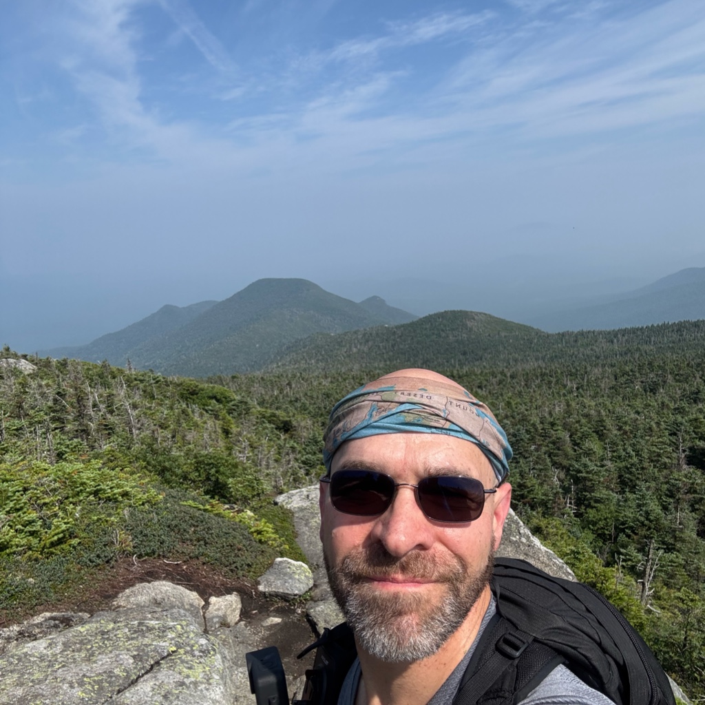
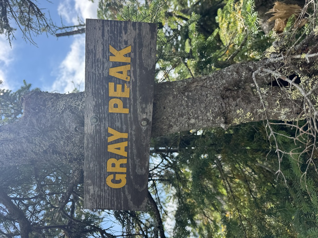
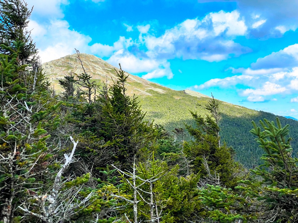
Gray Peak is a mountain located in the town of Keene in Essex County, New York. It is the seventh-highest of the Adirondack High Peaks, with an elevation of 4,840 feet (1,480 m), and is located in close proximity to Mount Marcy, the highest peak in New York. Gray Peak is southwest of Mount Marcy and southeast of Mount Colden. The first recorded ascent of the peak was made on September 16, 1872, by surveyor Verplanck Colvin and guide Bill Nye. It was named for Asa Gray by Colvin. Although the mountain is only 0.6 miles (0.97 km) from the summit of Marcy and lacked prominence desired by the Marshall brothers for inclusion in the High Peaks, it was added to the list to preserve the name.
Gray Peak can be climbed on an unmarked trail from Lake Tear of the Clouds, which can be approached from the Elk Lake or Upper Works parking lots. It is the highest peak in the Adirondacks without a maintained and marked trail.
There's a hiking trail (T2) called Gray Peak Trail leading to the summit. Gray Peak is one of the 1 peaks along the Gray Peak Trail.
By elevation Gray Peak is
# 12 out of 1601 in Adirondack Park # 12 out of 3825 in New York # 11 out of 126 in High Peaks Wilderness # 12 out of 591 in Essex County # 5 out of 24 in the Marcy Group # 12 out of 1678 in the Adirondack Mountains
We use GPS information embedded into the photo when it is available.
3D mountains overlay
Adjust mountain panorama to perfectly match your photos because recorded by camera photo position might be imprecise.
Move tool
Rotate tool
Zoom
More customization
Choose which peak labels should make into the final photo and what photo title should be.
Next
Photo Location
Satellitte
Flat map
Relief map
Latitude
Longitude
Altitude
OR
Latitude
°'''
Longitude
°'''
Apply
Register Peak
Peak Name
Latitude
Longitude
Altitude
Register
Teleport
PeakVisor
This 3D model of Sagarmatha National Park in Nepal was made using the PeakVisor app topographic data. The mobile app features higher precision models worldwide, more topographic details, and works offline. Download PeakVisor maps today.
Download OBJ model
PeakVisor
The download should start shortly. If you find it useful please consider supporting the PeakVisor app.
PeakVisor for iOS and Android
Be a superhero of outdoor navigation with state-of-the-art 3D maps and mountain identification in the palm of your hand!