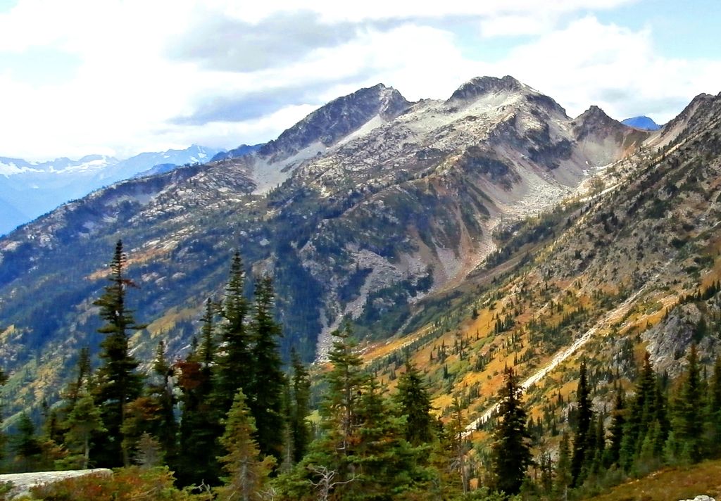
Mount Benzarino is a 7,760+ ft (2,370+ m) mountain summit located in North Cascades National Park, in Chelan County of Washington state. It is situated in the North Cascades, a subset of the Cascade Range. The nearest higher neighbor is Corteo Peak, 1.67 miles (2.69 km) to the northeast, and Black Peak is set 2.34 miles (3.77 km) to the north.
Corteo Peak and Mount Benzarino were named by Forest Service surveyor, Lage Wernstedt, for the names of Basque sheepherders he met near these two mountains. Lage Wernstedt made the first ascent of Benzarino in 1926. Remnants of a small glacier hang on its north flank, and precipitation runoff from the mountain drains into tributaries of Bridge Creek, which in turn is a tributary of the Stehekin River.
We use GPS information embedded into the photo when it is available.
3D mountains overlay
Adjust mountain panorama to perfectly match your photos because recorded by camera photo position might be imprecise.
Move tool
Rotate tool
Zoom
More customization
Choose which peak labels should make into the final photo and what photo title should be.
Next
Photo Location
Satellitte
Flat map
Relief map
Latitude
Longitude
Altitude
OR
Latitude
°'''
Longitude
°'''
Apply
Register Peak
Peak Name
Latitude
Longitude
Altitude
Register
Teleport
PeakVisor
This 3D model of Sagarmatha National Park in Nepal was made using the PeakVisor app topographic data. The mobile app features higher precision models worldwide, more topographic details, and works offline. Download PeakVisor maps today.
Download OBJ model
PeakVisor
The download should start shortly. If you find it useful please consider supporting the PeakVisor app.
PeakVisor for iOS and Android
Be a superhero of outdoor navigation with state-of-the-art 3D maps and mountain identification in the palm of your hand!