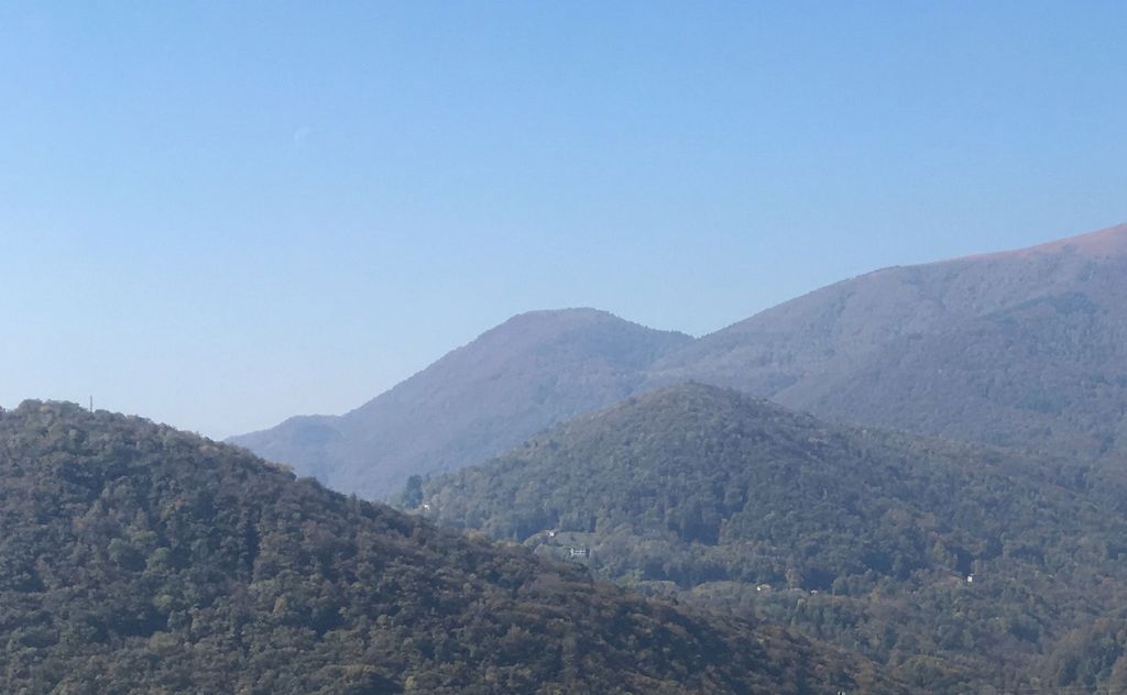
Monte Rogoria (also known as Monte Rogorio or Motto Croce) is a mountain of the Lugano Prealps, located on the border between Switzerland and Italy, north of Astano, at the foot of the Monte Lema. The summit and the majority of the mountain are in the Swiss canton of Ticino, whilst a part of the north-western flank lies in the Italian region of Lombardy. It has an elevation of 1,184 metres above sea level. The view from the summit of the mountain encompasses the Lake Maggiore, the Borromean Islands and the Monte Rosa massif. There is no official hiking trail leading to the summit itself, but there are trails to the mountain pass Forcola respectively Passo di Monte Faëta at an altitude of 1,117 metres located close to the summit plateau. Starting points are: Astano, Miglieglia and Dumenza.
We use GPS information embedded into the photo when it is available.
3D mountains overlay
Adjust mountain panorama to perfectly match your photos because recorded by camera photo position might be imprecise.
Move tool
Rotate tool
Zoom
More customization
Choose which peak labels should make into the final photo and what photo title should be.
Next
Photo Location
Satellitte
Flat map
Relief map
Latitude
Longitude
Altitude
OR
Latitude
°'''
Longitude
°'''
Apply
Register Peak
Peak Name
Latitude
Longitude
Altitude
Register
Teleport
PeakVisor
This 3D model of Sagarmatha National Park in Nepal was made using the PeakVisor app topographic data. The mobile app features higher precision models worldwide, more topographic details, and works offline. Download PeakVisor maps today.
Download OBJ model
PeakVisor
The download should start shortly. If you find it useful please consider supporting the PeakVisor app.
PeakVisor for iOS and Android
Be a superhero of outdoor navigation with state-of-the-art 3D maps and mountain identification in the palm of your hand!