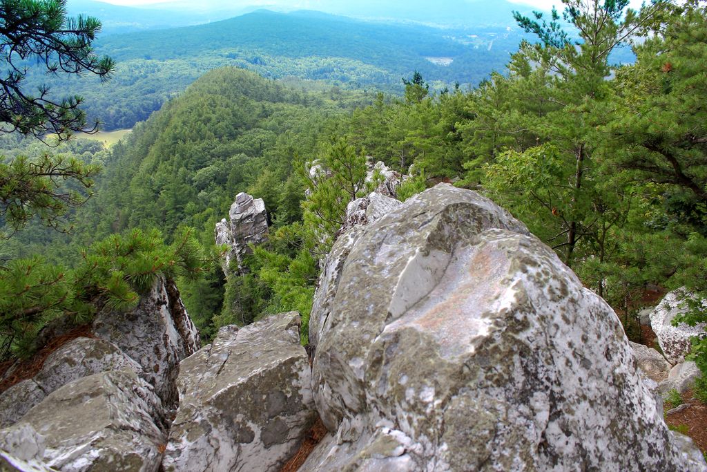
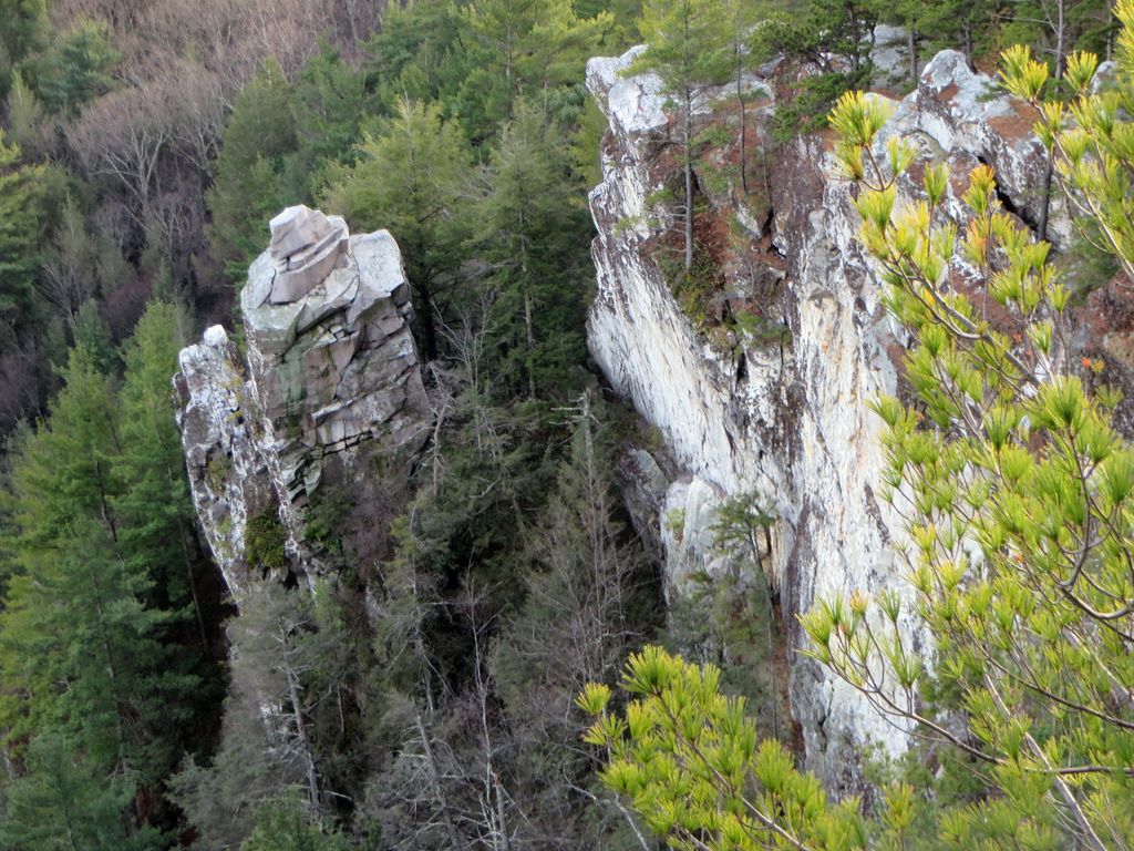
Monument Mountain is a 2.5-mile (4.0 km) long quartzite ridgeline located in Great Barrington and Stockbridge, Massachusetts in the Berkshires geology. Beside the high point, 1,739 feet (530 m), the mountain has several distinct features, most notably the open, knife-edge Peeskawso Peak, 1,642 feet (500 m) located on the southeast side of the mountain within the 503-acre (204 ha) Monument Mountain reservation managed by The Trustees of Reservations. The mountain receives over 20,000 visitors per year.
Devil's Pulpit, part of Peeskawso Peak, is a free-standing pillar of stone. Flag Rock, located on the southwest side of the mountain, is an open ledge overlooking the village of Housatonic. The only official trails on the mountain ascend Peeskawso Peak from a parking lot on Massachusetts Route 7 north of Great Barrington center. There is no fee for members of The Trustees and a parking fee of $5 for non-members. An unnamed waterfall is located to the northeast of Peeskawso Peak along the Hickey Trail.
Views from Peeskawso Peak include the Housatonic River Valley, The Berkshires, the Taconic Mountains, and the Catskill Mountains of New York.
The west side of Monument Mountain drains into the Housatonic River thence into Long Island Sound. The east side of Monument Mountain drains into Konkapot Brook thence into the Housatonic River.
In August 1850, Herman Melville, Nathaniel Hawthorne and Oliver Wendell Holmes Sr. climbed Monument Mountain together.
We use GPS information embedded into the photo when it is available.
3D mountains overlay
Adjust mountain panorama to perfectly match your photos because recorded by camera photo position might be imprecise.
Move tool
Rotate tool
Zoom
More customization
Choose which peak labels should make into the final photo and what photo title should be.
Next
Photo Location
Satellitte
Flat map
Relief map
Latitude
Longitude
Altitude
OR
Latitude
°'''
Longitude
°'''
Apply
Register Peak
Peak Name
Latitude
Longitude
Altitude
Register
Teleport
PeakVisor
This 3D model of Sagarmatha National Park in Nepal was made using the PeakVisor app topographic data. The mobile app features higher precision models worldwide, more topographic details, and works offline. Download PeakVisor maps today.
Download OBJ model
PeakVisor
The download should start shortly. If you find it useful please consider supporting the PeakVisor app.
PeakVisor for iOS and Android
Be a superhero of outdoor navigation with state-of-the-art 3D maps and mountain identification in the palm of your hand!