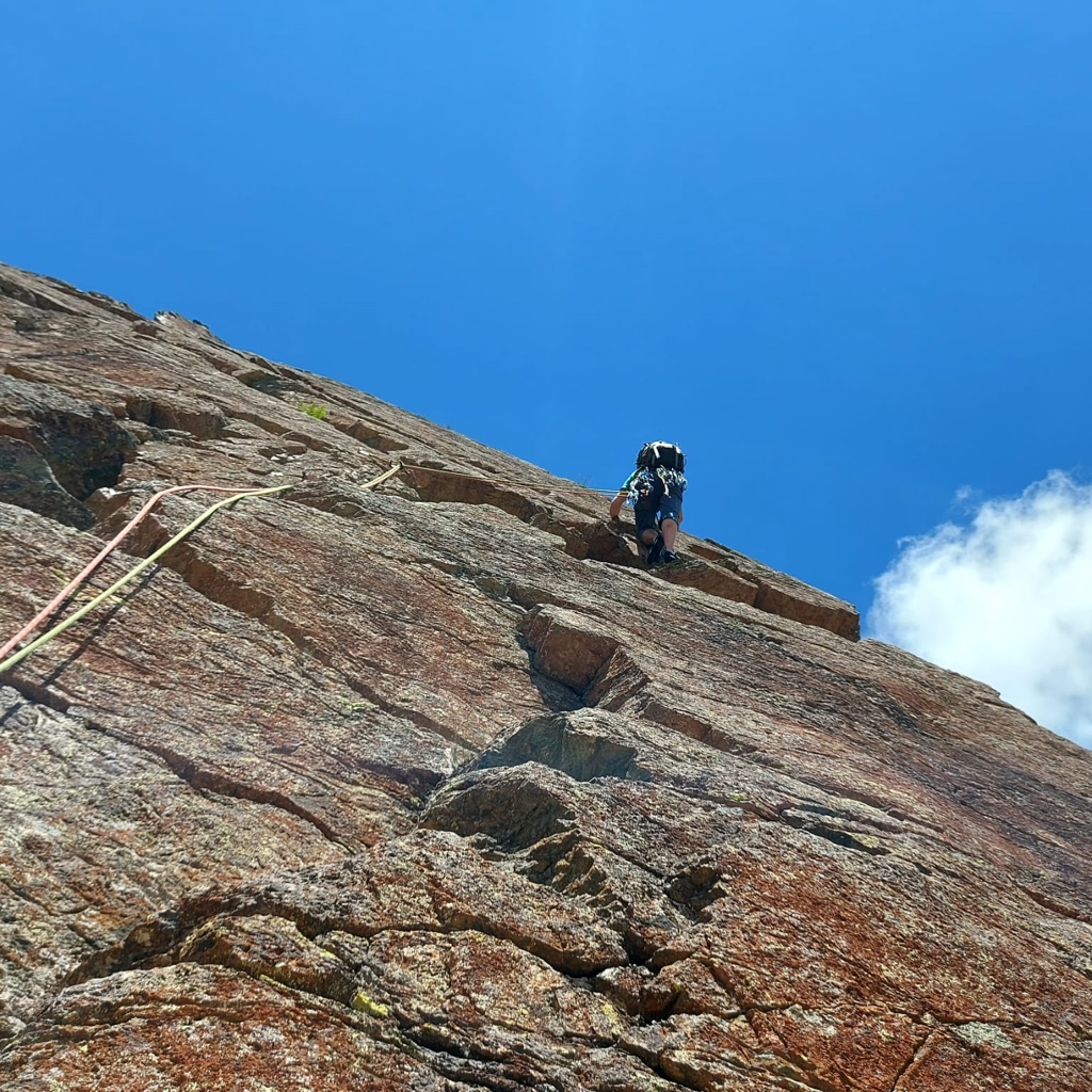
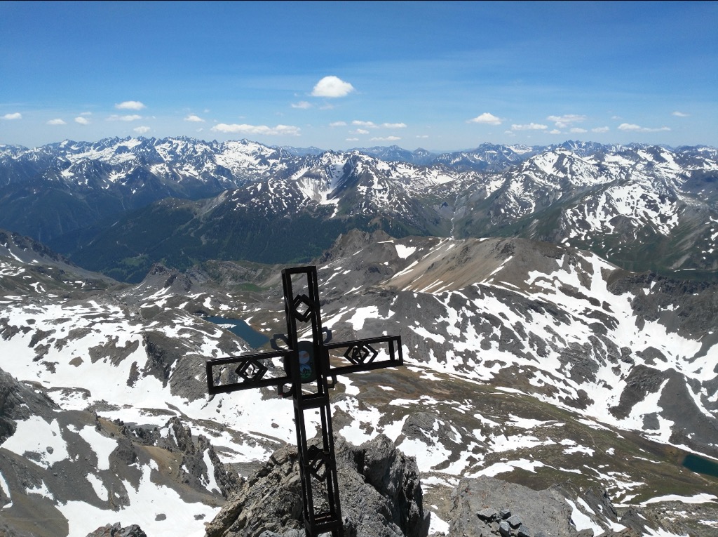
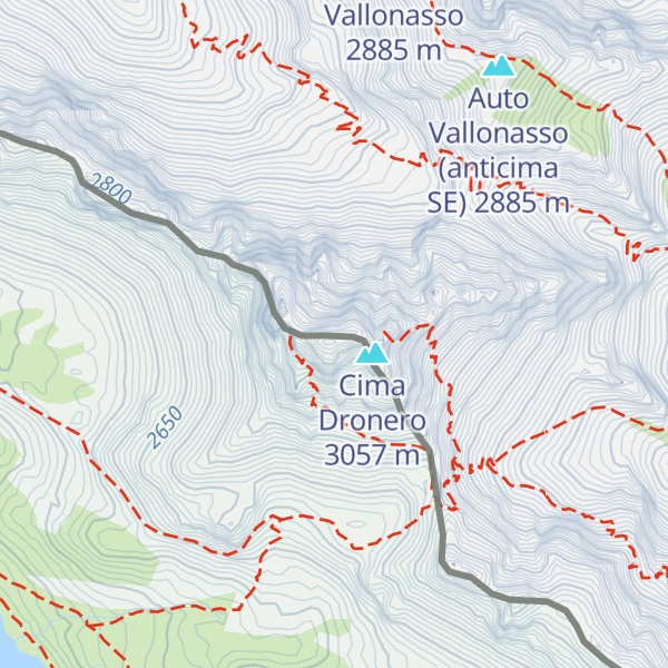
Monte Oronaye / Tête de Moïse (3 104m/10 184ft a.s.l.) is a mountain in the Chambeyron Massif on the border of France, Italy. The prominence is 568m/1 864ft.
The nearest mountain hut is Bivacco Enrico e Mario located 528m/1 733ft SE of the summit.
By elevation Monte Oronaye / Tête de Moïse is
# 4 out of 740 in Parc national du Mercantour (aire d'adhésion) # 55 out of 1646 in Cuneo # 42 out of 1770 in Alpes-de-Haute-Provence
By prominence Monte Oronaye / Tête de Moïse is
# 5 out of 740 in Parc national du Mercantour (aire d'adhésion) # 9 out of 1646 in Cuneo # 34 out of 4320 in Piemont # 21 out of 1770 in Alpes-de-Haute-Provence # 54 out of 6312 in Provence-Alpes-Côte d'Azur # 21 out of 1883 in the Cottian Alps
We use GPS information embedded into the photo when it is available.
3D mountains overlay
Adjust mountain panorama to perfectly match your photos because recorded by camera photo position might be imprecise.
Move tool
Rotate tool
Zoom
More customization
Choose which peak labels should make into the final photo and what photo title should be.
Next
Photo Location
Satellitte
Flat map
Relief map
Latitude
Longitude
Altitude
OR
Latitude
°'''
Longitude
°'''
Apply
Register Peak
Peak Name
Latitude
Longitude
Altitude
Register
Teleport
PeakVisor
This 3D model of Sagarmatha National Park in Nepal was made using the PeakVisor app topographic data. The mobile app features higher precision models worldwide, more topographic details, and works offline. Download PeakVisor maps today.
Download OBJ model
PeakVisor
The download should start shortly. If you find it useful please consider supporting the PeakVisor app.
PeakVisor for iOS and Android
Be a superhero of outdoor navigation with state-of-the-art 3D maps and mountain identification in the palm of your hand!