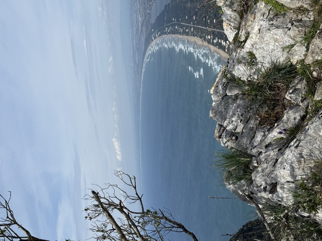
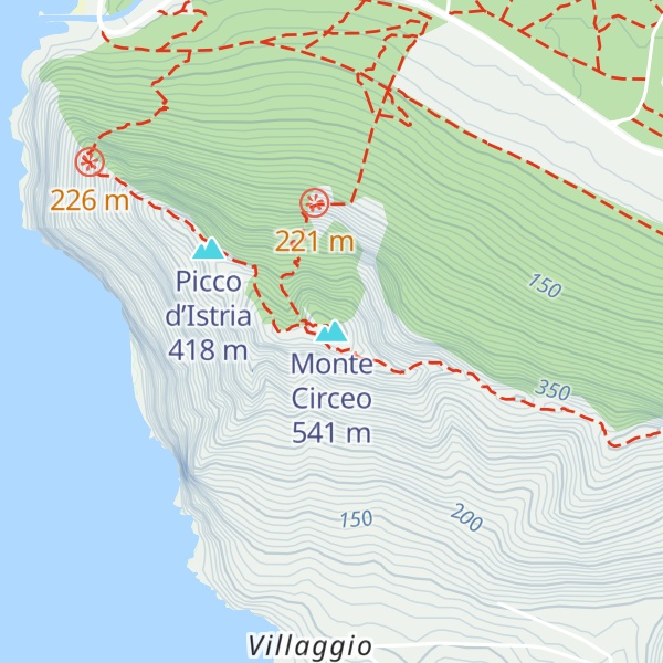
Monte Circeo or Cape Circeo (Italian: Promontorio del Circeo [promonˈtɔːrjo del tʃirˈtʃɛːo], Latin: Mons Circeius) is a mountain promontory that marks the southwestern limit of the former Pontine Marshes, located on the southwest coast of Italy near San Felice Circeo. At the northern end of the Gulf of Gaeta, it is about 5 kilometres (3.1 mi) long by 1.5 kilometres (0.93 mi) wide at the base, running from east to west and surrounded by the sea on all sides except the north. The land to the northeast is the former ancient Pontine Marshes. Most of the ancient swamp has been reclaimed for agriculture and urban areas.
The mountain, the coastal zone as far north as Latina, including the only remaining remnant of the swamp, and two of the Pontine Islands offshore, Zannone and Ponza, have been included in the Circeo National Park.
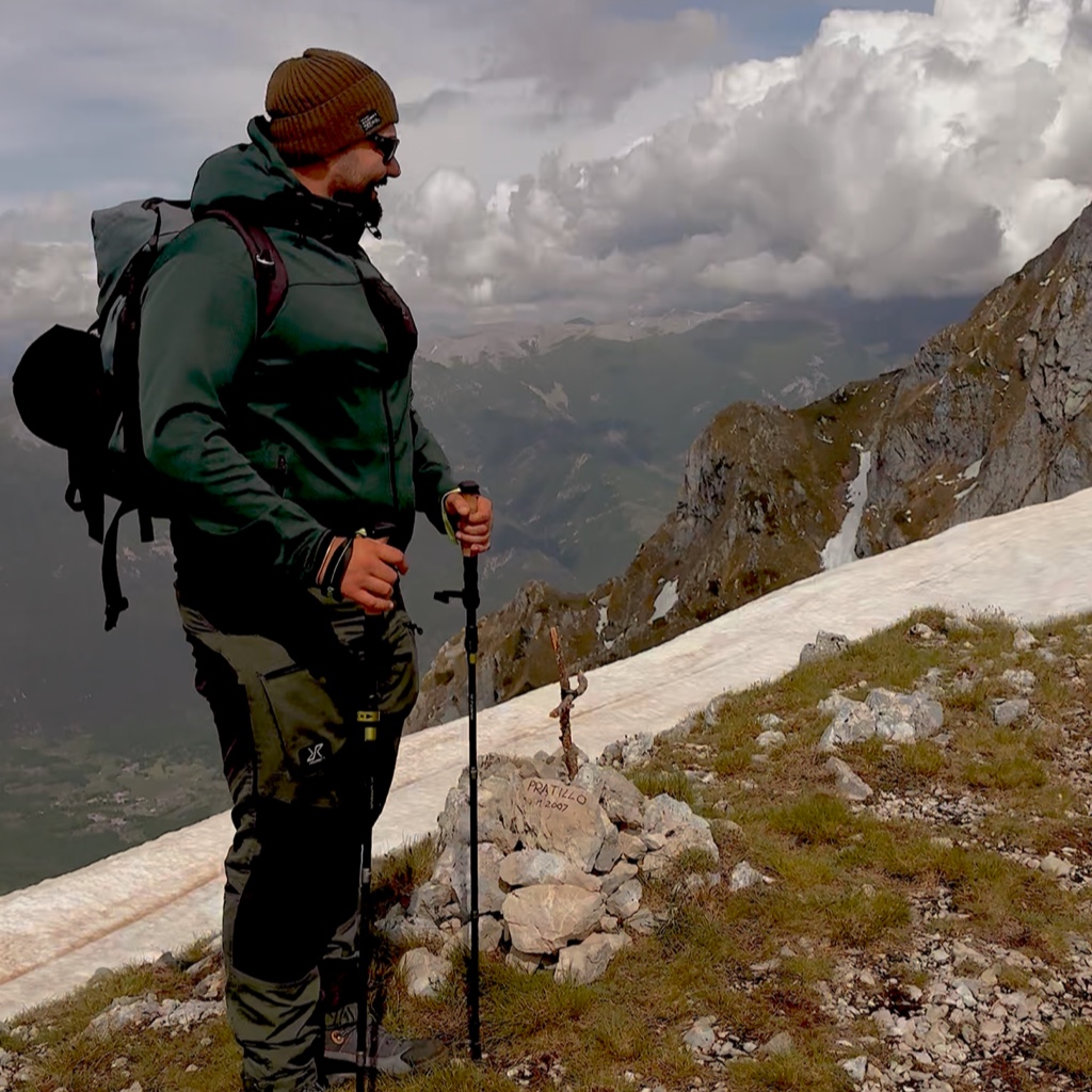
There's a demading hiking trail (T3) leading to the summit. Monte Circeo is one of the 2 peaks along the Torre Paola - San Felice Circeo.
By elevation Monte Circeo is
# 1 out of 2 in Parco Nazionale del Circeo
By prominence Monte Circeo is
# 1 out of 2 in Parco Nazionale del Circeo # 4 out of 272 in Latina # 25 out of 2316 in Lazio
We use GPS information embedded into the photo when it is available.
3D mountains overlay
Adjust mountain panorama to perfectly match your photos because recorded by camera photo position might be imprecise.
Move tool
Rotate tool
Zoom
More customization
Choose which peak labels should make into the final photo and what photo title should be.
Next
Photo Location
Satellitte
Flat map
Relief map
Latitude
Longitude
Altitude
OR
Latitude
°'''
Longitude
°'''
Apply
Register Peak
Peak Name
Latitude
Longitude
Altitude
Register
Teleport
PeakVisor
This 3D model of Sagarmatha National Park in Nepal was made using the PeakVisor app topographic data. The mobile app features higher precision models worldwide, more topographic details, and works offline. Download PeakVisor maps today.
Download OBJ model
PeakVisor
The download should start shortly. If you find it useful please consider supporting the PeakVisor app.
PeakVisor for iOS and Android
Be a superhero of outdoor navigation with state-of-the-art 3D maps and mountain identification in the palm of your hand!