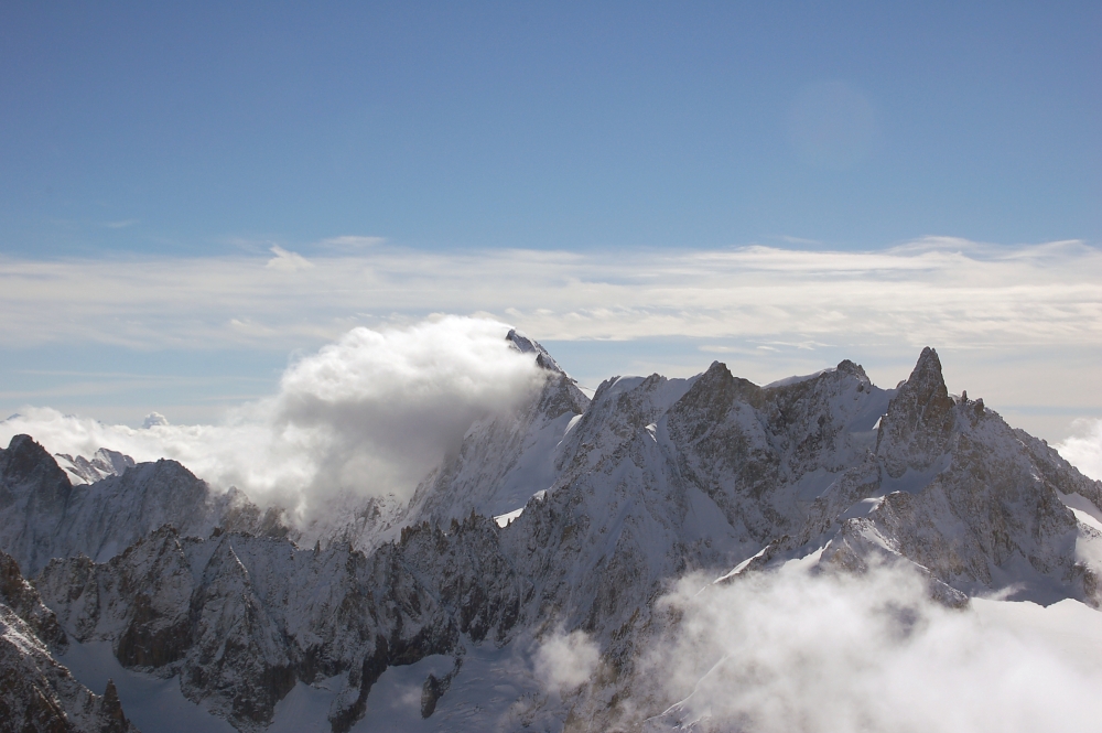
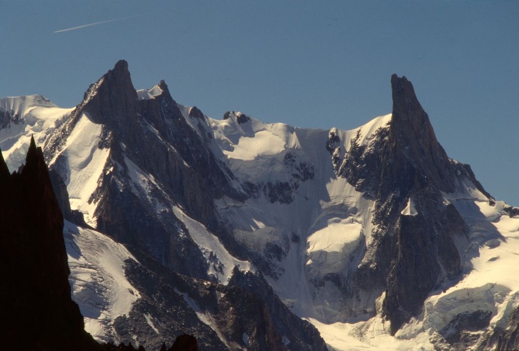
Mont Mallet (3,989 metres (13,087 ft)) is a mountain in the Mont Blanc massif in Haute-Savoie, France. It lies on a spur running northwards from the French-Italian frontier ridge, and can be most easily reached from the Aiguille de Rochefort.
Mont Mallet was first climbed on 4 September 1871. The first ascension party consisted of Leslie Stephen, Gabriel Loppé, F. Wallroth, Melchior Anderegg, Cachet and A. Tournier. They reached it via its southern ridge, a route now graded on the French adjectival climbing scale as PD. Its north ridge (graded AD) was first climbed in 1882.
The nearest mountain hut is Bivouac des Périades located 998m/3 274ft undefined of the summit.
By elevation Mont Mallet is
# 56 out of 2223 in the Graian Alps # 48 out of 35442 in France # 47 out of 9907 in Auvergne-Rhône-Alpes # 43 out of 1207 in Upper Savoy # 52 out of 581 in the Mont Blanc massif
We use GPS information embedded into the photo when it is available.
3D mountains overlay
Adjust mountain panorama to perfectly match your photos because recorded by camera photo position might be imprecise.
Move tool
Rotate tool
Zoom
More customization
Choose which peak labels should make into the final photo and what photo title should be.
Next
Photo Location
Satellitte
Flat map
Relief map
Latitude
Longitude
Altitude
OR
Latitude
°'''
Longitude
°'''
Apply
Register Peak
Peak Name
Latitude
Longitude
Altitude
Register
Teleport
PeakVisor
This 3D model of Sagarmatha National Park in Nepal was made using the PeakVisor app topographic data. The mobile app features higher precision models worldwide, more topographic details, and works offline. Download PeakVisor maps today.
Download OBJ model
PeakVisor
The download should start shortly. If you find it useful please consider supporting the PeakVisor app.
PeakVisor for iOS and Android
Be a superhero of outdoor navigation with state-of-the-art 3D maps and mountain identification in the palm of your hand!