Les Éboulements is a municipality in the Capitale-Nationale region of Quebec, Canada.
Its population centres include Les Éboulements (located along Route 362 on the plateau overlooking the Saint Lawrence River), Éboulements-Est (at the feet of Mount Éboulements), Cap-aux-Oies, Sainte-Marie-de-Charlevoix, and Saint-Joseph-de-la-Rive (47°27′30″N 70°22′05″W on the shores of the Saint Lawrence facing Saint-Bernard-sur-Mer). Saint-Joseph-de-la-Rive, formerly known as Les Éboulements-en-Bas and Quai-des-Éboulements, is the departure point for ferries to L'Isle-aux-Coudres.
The municipality is member of the Association of Most Beautiful Villages of Quebec due to its country heritage and to the beautiful architecture and character of its houses.
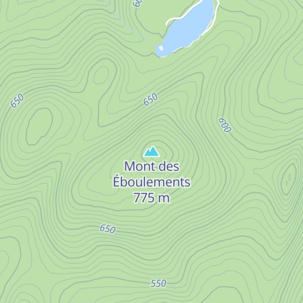
By elevation Mont des Éboulements is
# 35 out of 61 in Charlevoix
By prominence Mont des Éboulements is
# 15 out of 8755 in the Canadian Appalachians # 21 out of 3496 in Quebec # 1 out of 61 in Charlevoix
We use GPS information embedded into the photo when it is available.
3D mountains overlay
Adjust mountain panorama to perfectly match your photos because recorded by camera photo position might be imprecise.
Move tool
Rotate tool
Zoom
More customization
Choose which peak labels should make into the final photo and what photo title should be.
Next
Photo Location
Satellitte
Flat map
Relief map
Latitude
Longitude
Altitude
OR
Latitude
°'''
Longitude
°'''
Apply
Register Peak
Peak Name
Latitude
Longitude
Altitude
Register
Teleport
PeakVisor
This 3D model of Sagarmatha National Park in Nepal was made using the PeakVisor app topographic data. The mobile app features higher precision models worldwide, more topographic details, and works offline. Download PeakVisor maps today.
Download OBJ model
PeakVisor
The download should start shortly. If you find it useful please consider supporting the PeakVisor app.
PeakVisor for iOS and Android
Be a superhero of outdoor navigation with state-of-the-art 3D maps and mountain identification in the palm of your hand!