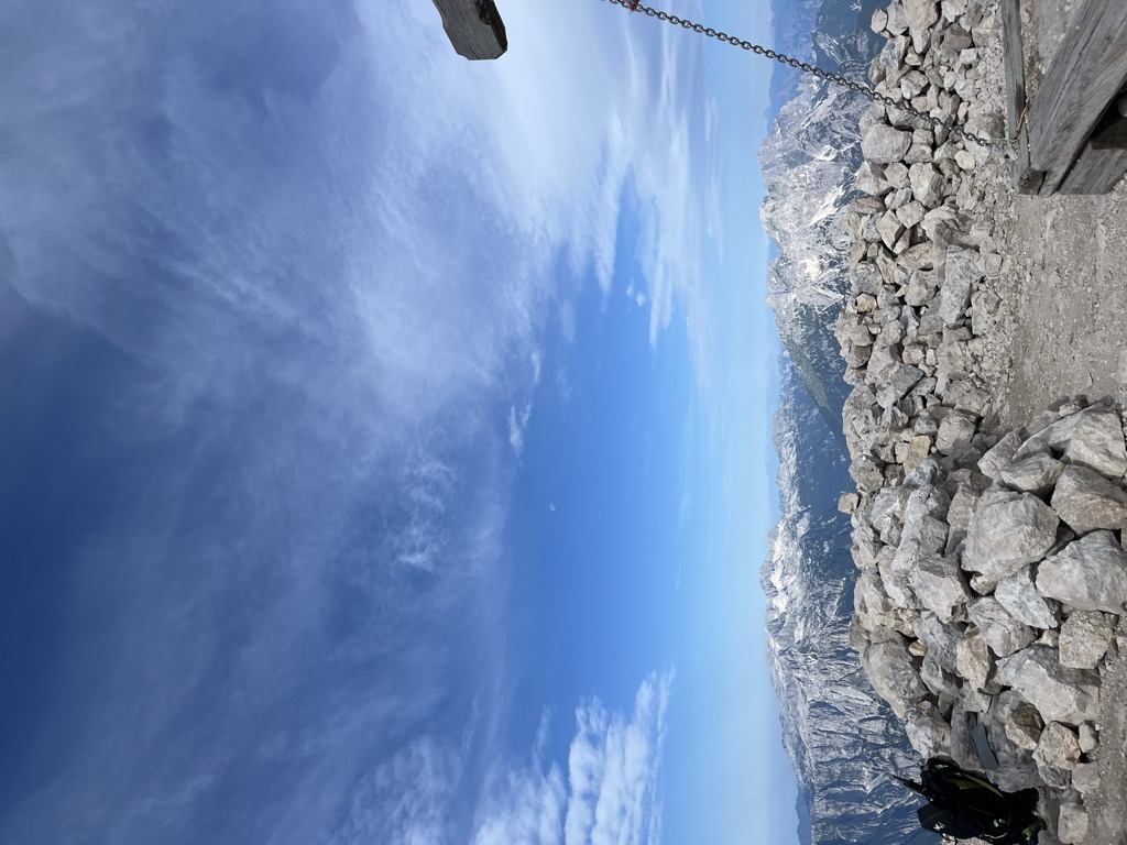
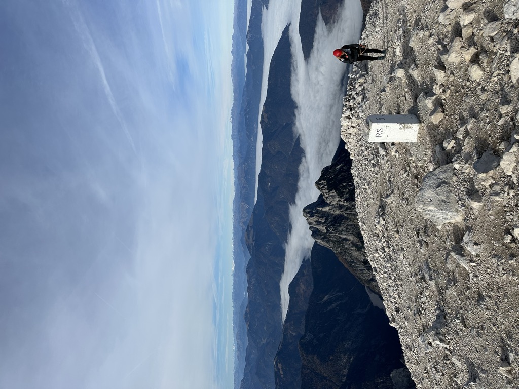
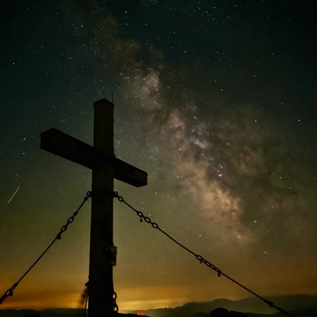
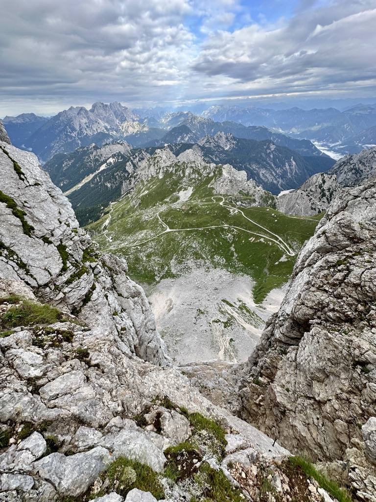
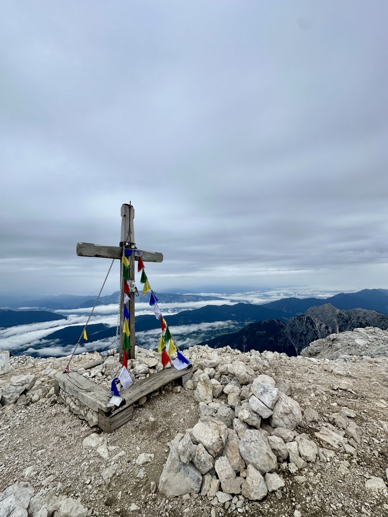
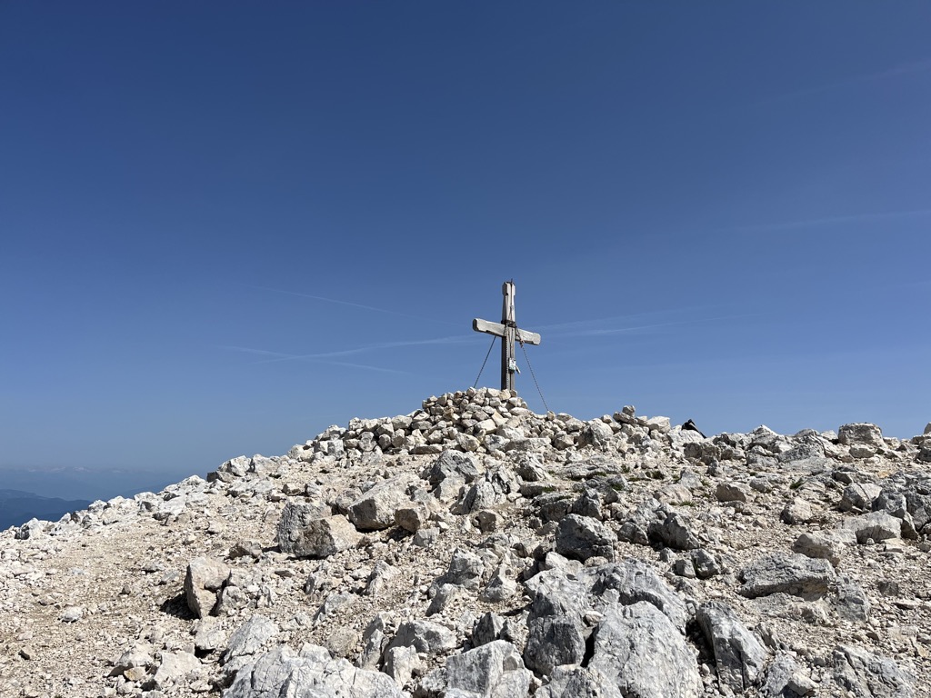
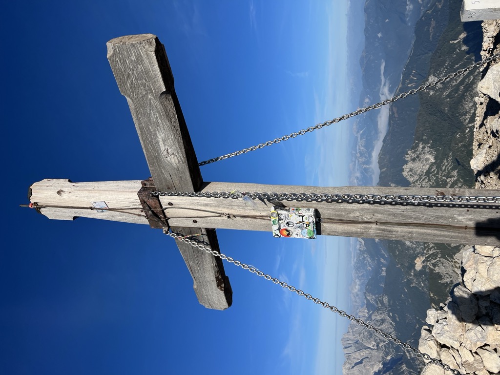
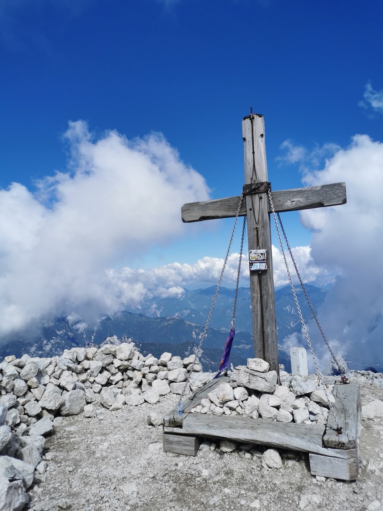
Mangart or Mangrt is a mountain in the Julian Alps, located on the border between Italy and Slovenia. With an elevation of 2,679 metres (8,789 ft), it is the third-highest peak in Slovenia, after Triglav and Škrlatica. It was first climbed in 1794 by the naturalist Franz von Hohenwart. Mangart is also the name of the mountain range between the Koritnica Valley and the Mangart Valley, with the highest peak called Veliki Mangart (Big Mount Mangart).
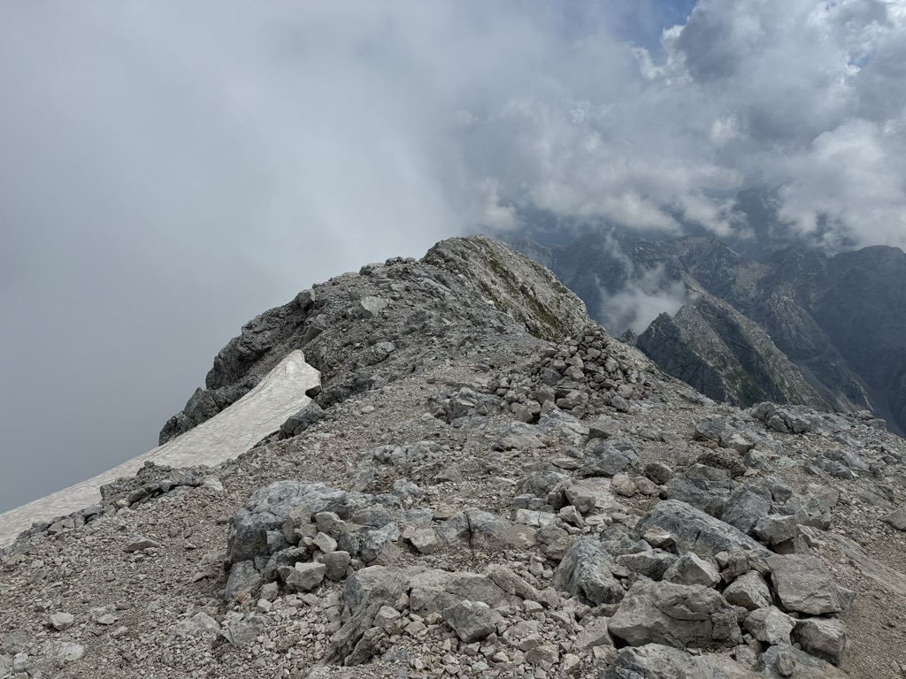
There's a demading hiking trail (T3) called Slovenska pot leading to the summit. Mangart is one of the 24 peaks along the multi-day Vertikala SPDT.
The nearest mountain hut is Bivacco Fratelli Nogara located 858m/2 816ft undefined of the summit.
By elevation Mangart is
# 14 out of 2055 in Friuli Venezia Giulia # 4 out of 9254 in Slovenia # 4 out of 643 in Triglav National Park # 8 out of 1536 in the Julian Alps and Prealps
By prominence Mangart is
# 11 out of 2055 in Friuli Venezia Giulia # 6 out of 9254 in Slovenia # 2 out of 643 in Triglav National Park # 88 out of 42694 in Italy # 5 out of 1536 in the Julian Alps and Prealps
We use GPS information embedded into the photo when it is available.
3D mountains overlay
Adjust mountain panorama to perfectly match your photos because recorded by camera photo position might be imprecise.
Move tool
Rotate tool
Zoom
More customization
Choose which peak labels should make into the final photo and what photo title should be.
Next
Photo Location
Satellitte
Flat map
Relief map
Latitude
Longitude
Altitude
OR
Latitude
°'''
Longitude
°'''
Apply
Register Peak
Peak Name
Latitude
Longitude
Altitude
Register
Teleport
PeakVisor
This 3D model of Sagarmatha National Park in Nepal was made using the PeakVisor app topographic data. The mobile app features higher precision models worldwide, more topographic details, and works offline. Download PeakVisor maps today.
Download OBJ model
PeakVisor
The download should start shortly. If you find it useful please consider supporting the PeakVisor app.
PeakVisor for iOS and Android
Be a superhero of outdoor navigation with state-of-the-art 3D maps and mountain identification in the palm of your hand!


.jpg)
.jpg)


