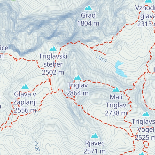
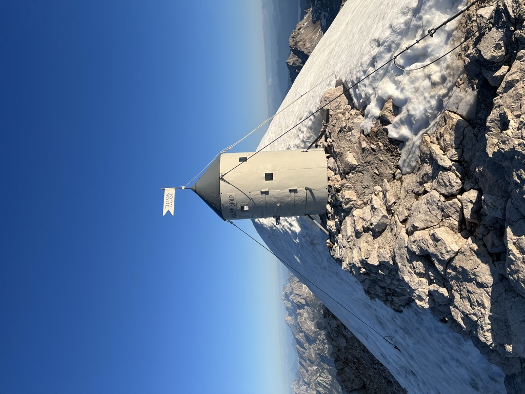
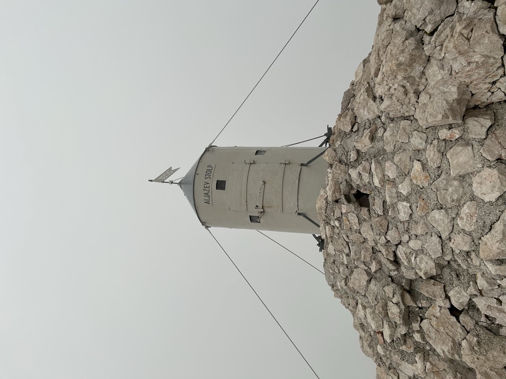
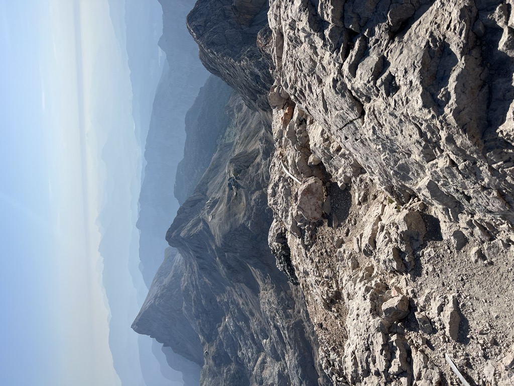
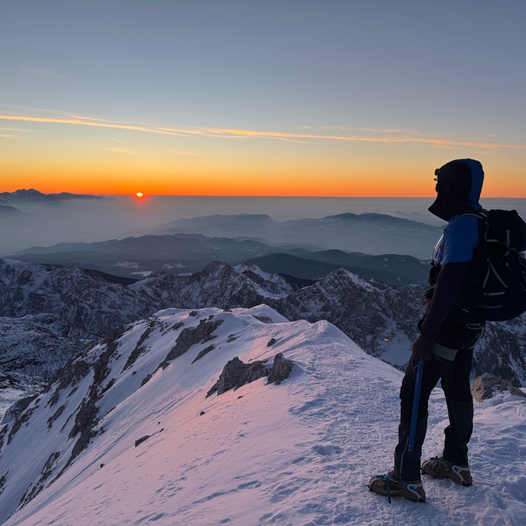
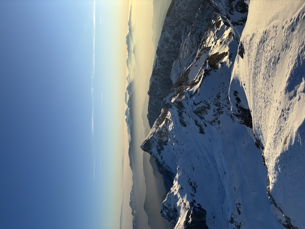
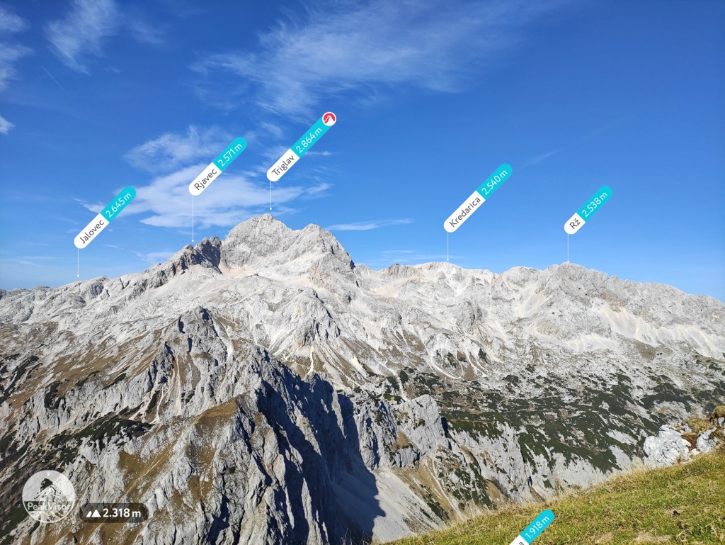
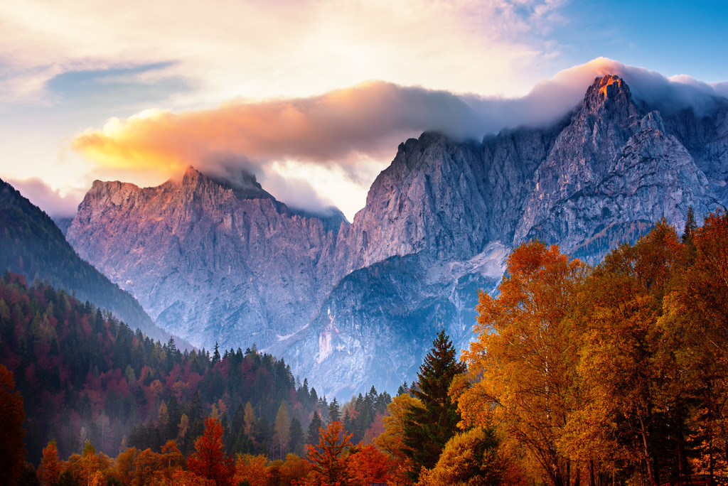
Triglav (pronounced [ˈtɾiːɡlau̯]; German: Terglau; Italian: Tricorno), with an elevation of 2,863.65 metres (9,395.2 ft), is the highest mountain in Slovenia and the highest peak of the Julian Alps. The mountain is the pre-eminent symbol of the Slovene nation, appearing on the coat of arms and flag of Slovenia. It is the centrepiece of Triglav National Park, Slovenia's only national park. Triglav was also the highest peak in Yugoslavia before Slovenia's independence in 1991.
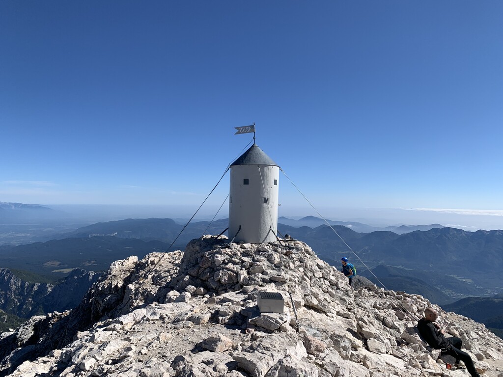
There's a demading hiking trail (T3) leading to the summit. Triglav is one of the 83 peaks along the multi-day Slovenian mountain trail.
The nearest mountain hut is Triglavski dom na Kredarici located 940m/3 083ft E of the summit.
By elevation Triglav is
# 1 out of 9254 in Slovenia # 1 out of 643 in Triglav National Park # 1 out of 1536 in the Julian Alps and Prealps
By prominence Triglav is
# 11 out of 60693 in the Alps # 1 out of 9254 in Slovenia # 1 out of 643 in Triglav National Park # 1 out of 1536 in the Julian Alps and Prealps
We use GPS information embedded into the photo when it is available.
3D mountains overlay
Adjust mountain panorama to perfectly match your photos because recorded by camera photo position might be imprecise.
Move tool
Rotate tool
Zoom
More customization
Choose which peak labels should make into the final photo and what photo title should be.
Next
Photo Location
Satellitte
Flat map
Relief map
Latitude
Longitude
Altitude
OR
Latitude
°'''
Longitude
°'''
Apply
Register Peak
Peak Name
Latitude
Longitude
Altitude
Register
Teleport
PeakVisor
This 3D model of Sagarmatha National Park in Nepal was made using the PeakVisor app topographic data. The mobile app features higher precision models worldwide, more topographic details, and works offline. Download PeakVisor maps today.
Download OBJ model
PeakVisor
The download should start shortly. If you find it useful please consider supporting the PeakVisor app.
PeakVisor for iOS and Android
Be a superhero of outdoor navigation with state-of-the-art 3D maps and mountain identification in the palm of your hand!


_-_panoramio_(16).jpg)