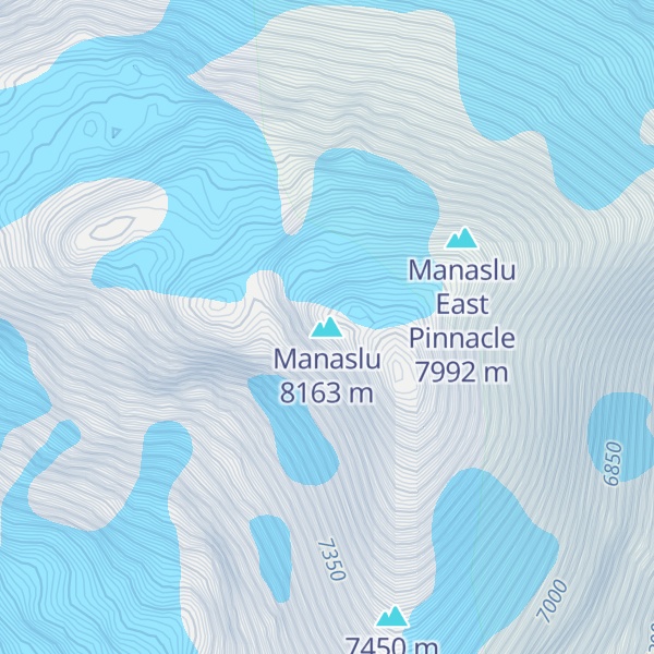
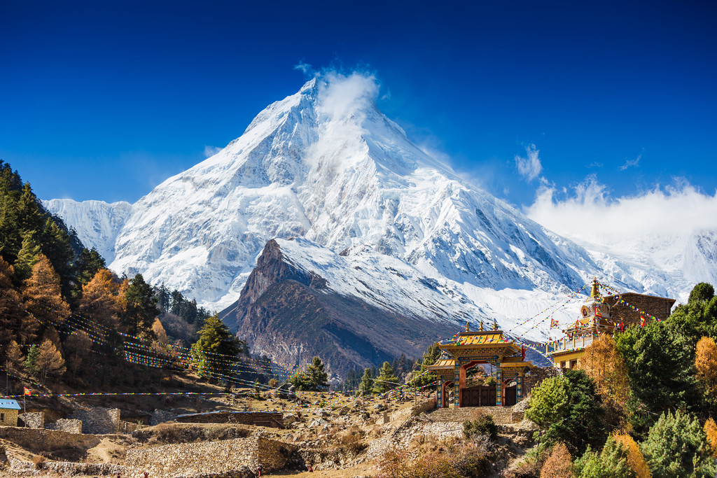
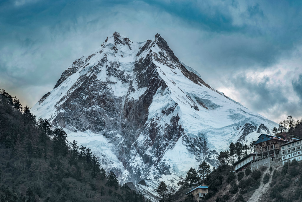
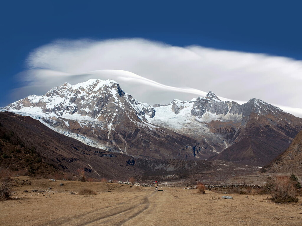
Manaslu (; Nepali: मनास्लु, also known as Kutang) is the eighth-highest mountain in the world at 8,163 metres (26,781 ft) above sea level. It is in the Mansiri Himal, part of the Nepalese Himalayas, in west-central Nepal. Manaslu means "mountain of the spirit" and the word is derived from the Sanskrit word manasa, meaning "intellect" or "soul". Manaslu was first climbed on May 9, 1956, by Toshio Imanishi and Gyalzen Norbu, members of a Japanese expedition. It is said that, given the many unsuccessful attempts by the British to climb Everest before Nepali Tenzing Norgay and New Zealander Edmund Hillary, "just as the British consider Everest their mountain, Manaslu has always been a Japanese mountain".
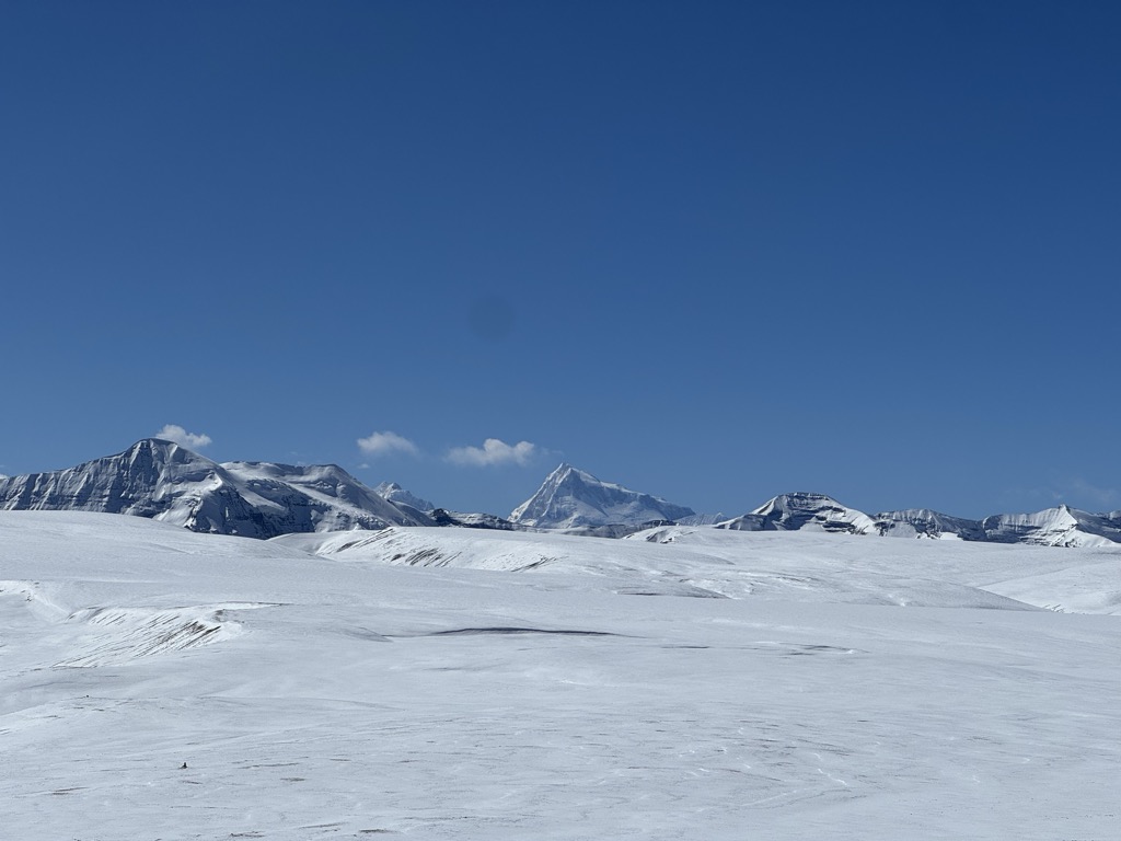
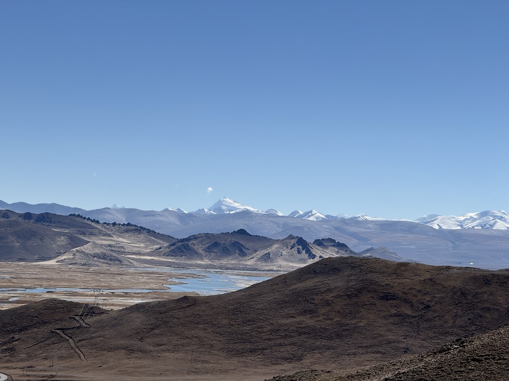
Manaslu is the highest peak in the Gorkha District and is about 64 km (40 mi) east of Annapurna, the tenth highest mountain in the world at 8,091 metres (26,545 ft) above sea. Manaslu's long ridges and valley glaciers offer feasible approaches from all directions and culminate in a peak that towers steeply above its surrounding landscape and is a dominant feature when viewed from afar.
The Manaslu region offers a variety of trekking options. The popular Manaslu trekking route of 177 kilometres (110 mi) skirts the Manaslu massif over the pass down to Annapurna. The Nepalese Government only permitted trekking on this circuit in 1991. The trekking trail follows an ancient salt-trading route along the Budhi Gandaki River. En route, 10 peaks over 6,500 metres (21,325 ft) are visible, including a few over 7,000 metres (22,966 ft). The highest point reached along the trek route is Larkya La at an elevation of 5,106 metres (16,752 ft). As of May 2008, the mountain has been climbed 297 times with 53 fatalities.
The Manaslu Conservation Area Project (MCAP) was established in 1997 with the primary objective of achieving conservation and sustainable management of the delimited area, which also
includes Manaslu.
By elevation Manaslu is
# 11 out of 866 in Nepal # 1 out of 29 in Manaslu Conservation Area # 2 out of 216 in Western Development Region # 1 out of 44 in Gorkha # 1 out of 53 in Manang # 11 out of 3458 in the Himalayas
By prominence Manaslu is
# 4 out of 866 in Nepal # 1 out of 29 in Manaslu Conservation Area # 2 out of 216 in Western Development Region # 1 out of 44 in Gorkha # 1 out of 53 in Manang # 6 out of 3458 in the Himalayas
We use GPS information embedded into the photo when it is available.
3D mountains overlay
Adjust mountain panorama to perfectly match your photos because recorded by camera photo position might be imprecise.
Move tool
Rotate tool
Zoom
More customization
Choose which peak labels should make into the final photo and what photo title should be.
Next
Photo Location
Satellitte
Flat map
Relief map
Latitude
Longitude
Altitude
OR
Latitude
°'''
Longitude
°'''
Apply
Register Peak
Peak Name
Latitude
Longitude
Altitude
Register
Teleport
PeakVisor
This 3D model of Sagarmatha National Park in Nepal was made using the PeakVisor app topographic data. The mobile app features higher precision models worldwide, more topographic details, and works offline. Download PeakVisor maps today.
Download OBJ model
PeakVisor
The download should start shortly. If you find it useful please consider supporting the PeakVisor app.
PeakVisor for iOS and Android
Be a superhero of outdoor navigation with state-of-the-art 3D maps and mountain identification in the palm of your hand!


.jpg)